MyTopo
Classic USGS Goshen Arkansas 7.5'x7.5' Topo Map
Couldn't load pickup availability
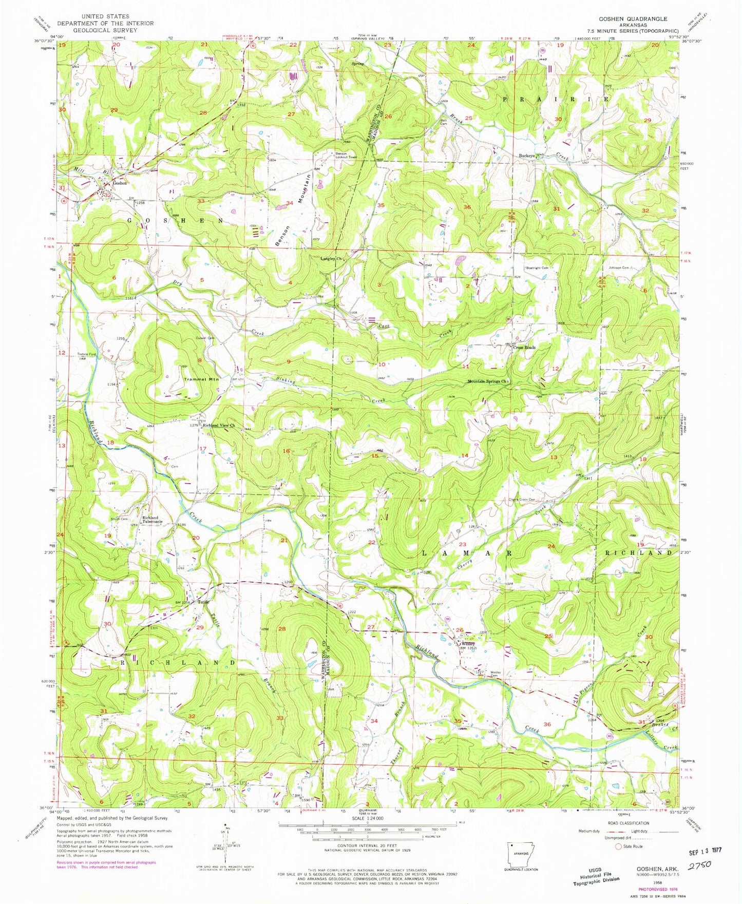
Historical USGS topographic quad map of Goshen in the state of Arkansas. Map scale may vary for some years, but is generally around 1:24,000. Print size is approximately 24" x 27"
This quadrangle is in the following counties: Madison, Washington.
The map contains contour lines, roads, rivers, towns, and lakes. Printed on high-quality waterproof paper with UV fade-resistant inks, and shipped rolled.
Contains the following named places: Bell Cemetery, Benson Lookout Tower, Benson Mountain, Boatrigth Cemetery, Buckeye, Cave Creek, Cherry Creek, Cherry Creek Cemetery, Cross Roads, Culwell Cemetery, Drakes Creek, Dry Creek, Gilliam Mountain, Goshen, Goshen Cemetery, Goshen City Marshall's Office, Goshen Fire Department Station 1, Goshen Post Office, Johnson Cemetery, Langley Church, Lollars Creek, Mount Olive, Mountain Springs Church, Pigeon Creek, Richland Tabernacle, Richland View Church, Sinking Creek, Smith Cemetery, Thorney Branch, Tisdale Ford, Township of Goshen, Township of Richland, Trammel Mountain, Tuttle, Tuttle Branch, Wesley, Wesley Cemetery, Wesley Census Designated Place, Wesley Fire Department, Wesley Post Office