MyTopo
Classic USGS Goshen California 7.5'x7.5' Topo Map
Couldn't load pickup availability
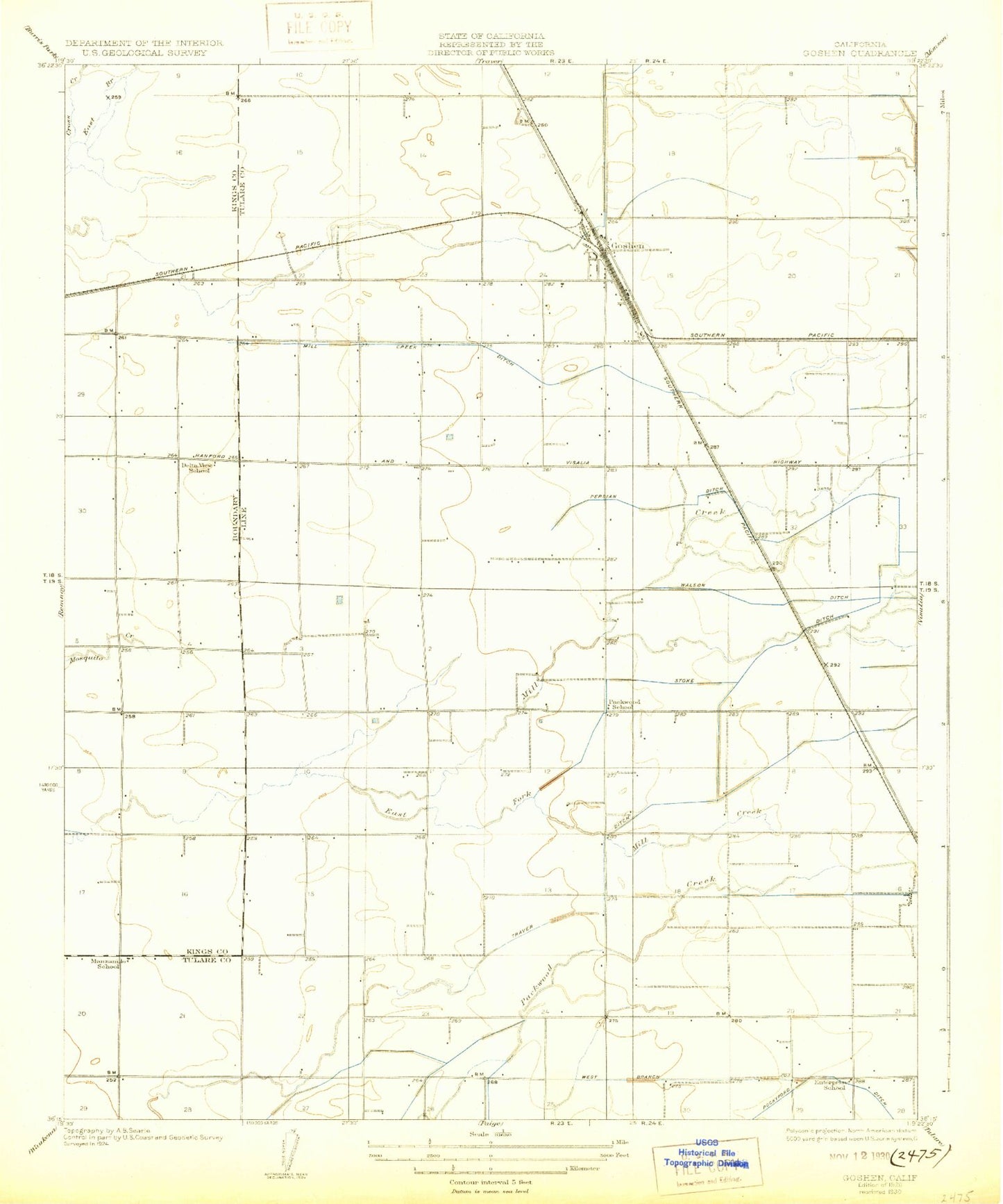
Historical USGS topographic quad map of Goshen in the state of California. Map scale may vary for some years, but is generally around 1:24,000. Print size is approximately 24" x 27"
This quadrangle is in the following counties: Kings, Tulare.
The map contains contour lines, roads, rivers, towns, and lakes. Printed on high-quality waterproof paper with UV fade-resistant inks, and shipped rolled.
Contains the following named places: B and G Dairy, Camp Eight, Camp Eleven, Camp Four, Camp Seven, Camp Three, Colpien Ranch, Delta View Elementary School, Delta View Farms Dairy, Enterprise School, Esteves Dairy, Goshen, Goshen Census Designated Place, Goshen Elementary School, Goshen Post Office, Hamstra Dairy Complex, Jim Bakker Dairy, Koetsier Dairy, KQIQ-AM (Farmersville), KYIA-FM (Goshen), Manzanillo Ranch, Manzanillo School, Midvalley, Mill Creek Ditch, Moonlight Dairy, North Fork Persian Ditch, Overland Ranch, Pacheco Dairy, Packwood Creek, Packwood School, Phoenix Dairy, Plaza, Plaza Park, Rockyford Ditch, S and S Dairy, San Joaquin Valley College, South Fork Persian Ditch, Te Velde Bernard Dairy, Tulare Canal, Tulare County Fire Department Battalion 1 Goshen Fire Station 7, Udder Dairy, Valley Oaks Golf Course, Visalia Army Air Field, Visalia Municipal Airport, Watson Ditch, West Creek Dairy, West Goshen Census Designated Place


