MyTopo
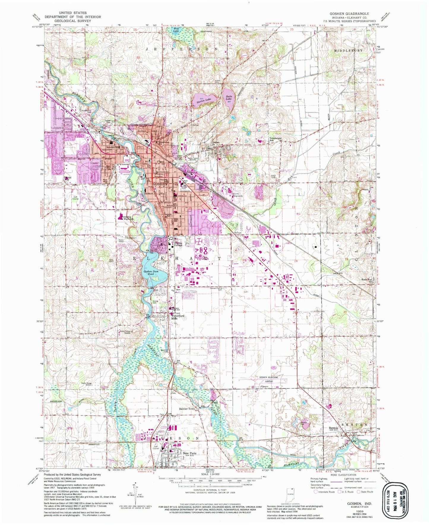
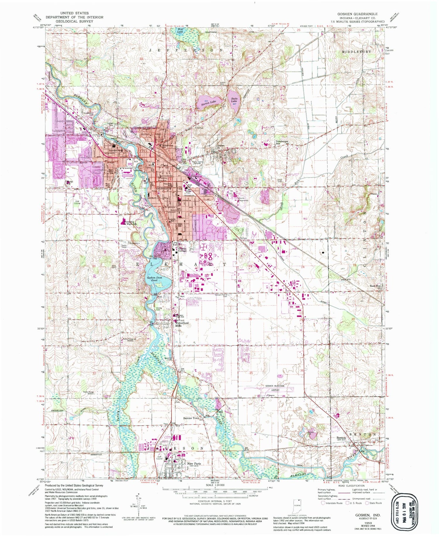
Classic USGS Goshen Indiana 7.5'x7.5' Topo Map
Couldn't load pickup availability
Historical USGS topographic quad map of Goshen in the state of Indiana. Typical map scale is 1:24,000, but may vary for certain years, if available. Print size: 24" x 27"
This quadrangle is in the following counties: Elkhart.
The map contains contour lines, roads, rivers, towns, and lakes. Printed on high-quality waterproof paper with UV fade-resistant inks, and shipped rolled.
Contains the following named places: Bainter Town, Benton, Bethany High School, Boyer Ditch, Butts Lake, Chamberlain Elementary School, Chandler Elementary School, Cripe Cemetery, Elkhart Prairie Cemetery, Goshen, Goshen Church, Goshen Dam Pond, Hess Cemetery, Hoover Ditch, Horn Ditch, Jackson Cemetery, Model Elementary School, Morris Cemetery, New Paris, Norton Lake, Oakridge Cemetery, Parkside Elementary School, Rensberger School, Riverdale School, Rock Run Creek, Sparklin Cemetery, Studebaker Cemetery, Violett Cemetery, Waterford Mills, West Goshen Church, West Goshen Elementary School, Wolf Lake, New Paris Elementary School, Goshen High School, Goshen Middle School, WKAM-AM (Goshen), Goshen Pond Dam, WCGS-FM (Goshen), Goshen Municipal Airport, Goshen College, Elkhart County, Turkey Creek, Township of Elkhart, New Paris Census Designated Place, City of Goshen, Goshen Fire Department College Avenue Station, Elkhart Township Fire Department, Goshen Fire Department Central Station, Elkhart Township Fire Department Station 2, Elkhart Township Fire Department Station 3, Benton Township Fire Department, Oaklawn Psychiatric Center, Goshen Hospital, Brown Airport (historical), Elkhart Township Fire Department, Goshen Fire Department College Avenue Station, Goshen Fire Department, Prairie Dairy Farms, Brookview Farms, L and D Dairy Farm, Goshen Public Library, Elkhart County Sheriff's Office, Goshen Police Department, Goshen Post Office


