MyTopo
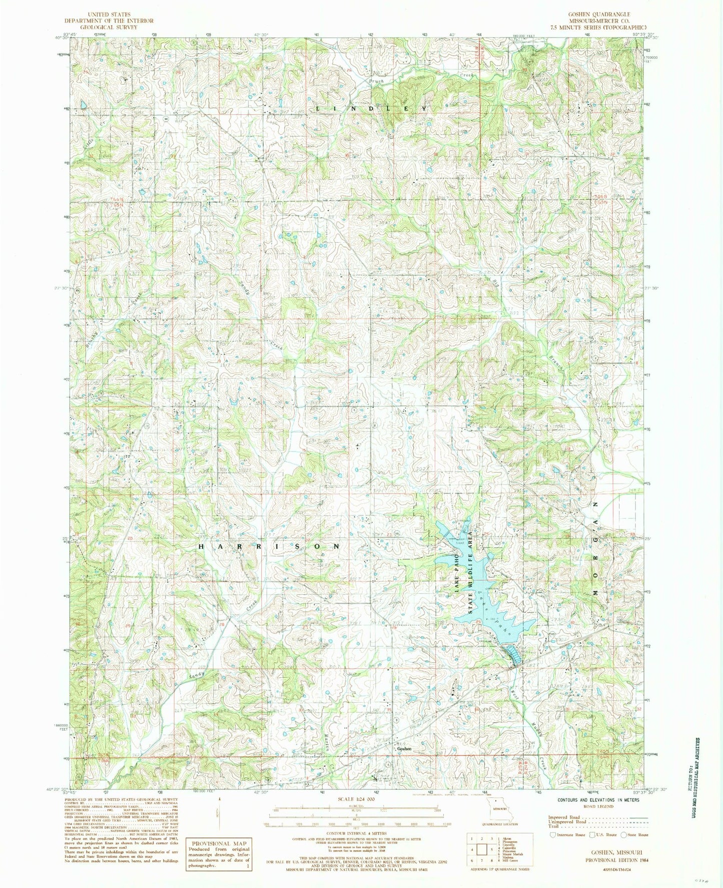
Classic USGS Goshen Missouri 7.5'x7.5' Topo Map
Couldn't load pickup availability
Historical USGS topographic quad map of Goshen in the state of Missouri. Map scale may vary for some years, but is generally around 1:24,000. Print size is approximately 24" x 27"
This quadrangle is in the following counties: Mercer.
The map contains contour lines, roads, rivers, towns, and lakes. Printed on high-quality waterproof paper with UV fade-resistant inks, and shipped rolled.
Contains the following named places: Cain School, Campbell Lake, Campbell Lake Dam, Goshen, Goshen Cemetery, Goshen Church, Hamblin School, Hanes Church, Lake Paho, Lake Paho Dam, Lake Paho State Wildlife Area, Liberty Church, Moss School, Oakland School, Pleasant Hill Cemetery, Pleasant Hill School, Pleasant Ridge Church, Pleasant Ridge Church Cemetery, Pleasant Ridge School, Red Rock School, Rockhold School, Saint Paul Church, Scott Hill School, Township of Harrison, Union School, West White School