MyTopo
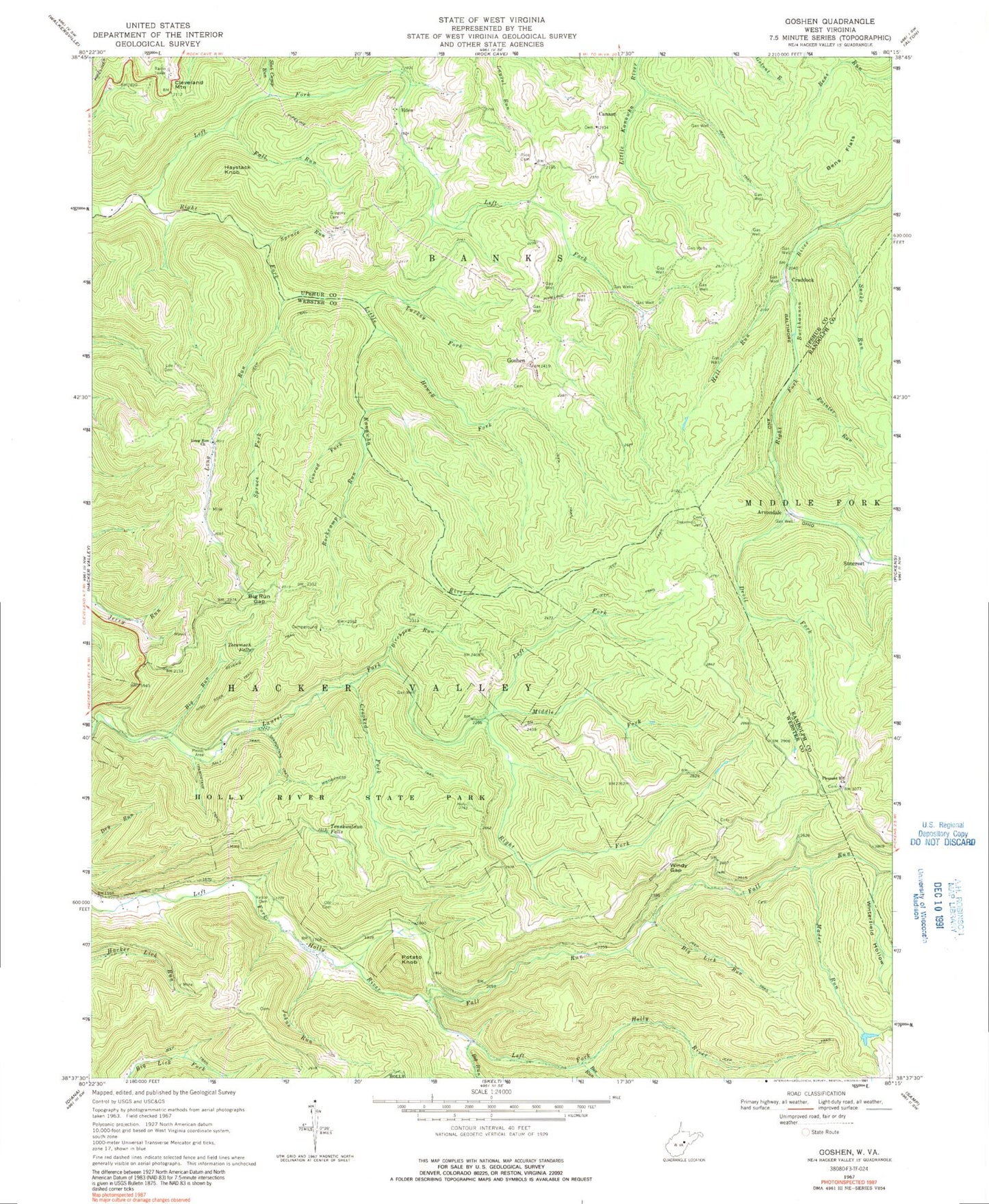
Classic USGS Goshen West Virginia 7.5'x7.5' Topo Map
Couldn't load pickup availability
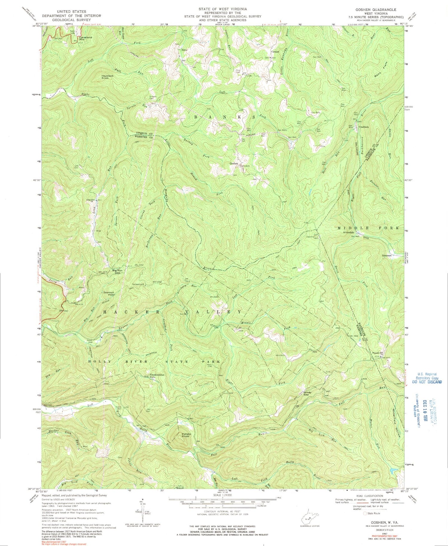
Historical USGS topographic quad map of Goshen in the state of West Virginia. Typical map scale is 1:24,000, but may vary for certain years, if available. Print size: 24" x 27"
This quadrangle is in the following counties: Randolph, Upshur, Webster.
The map contains contour lines, roads, rivers, towns, and lakes. Printed on high-quality waterproof paper with UV fade-resistant inks, and shipped rolled.
Contains the following named places: Bee Run, Bens Flats, Big Lick Run, Big Run, Big Run, Big Run Gap, Birchpen Run, Conrad Fork, Crooked Fork, Devil Fork, Fall Run, Fall Run, Goshen, Gregory Cemetery, Hell Run, High Rock Trail, Holly River State Park, Howell Fork, Johns Run, Left Fork Laurel Fork, Left Fork Right Fork Little Kanawha River, Life Cemetery, Long Run, Long Run Church, Mader Run, Middle Fork Laurel Fork, Old Cemetery, Painter Run, Pleasant Hill Church, Reverie Trail, Rice Cemetery, Right Fork Laurel Fork, Rockcamp Run, Salt Lick Trail, Slab Camp Run, Snake Run, Spruce Fork, Spruce Run, Tecumseh Falls, Tenskwatawa Falls, Tramontane Trail, Turkey Fork, Vance Cemetery, Wilderness Trail, Windy Gap, Winterfield Hollow, Arvondale, Canaan, Cleveland Mountain, Craddock, Eden, Haystack Knob, Potato Knob, Suncrest, Edward T Balli Spring, Goshen Church, Mayton (historical), New Mayton School (historical), Penbro (historical), Tater Knob Run, Vance School (historical), Windy Gap School (historical)


