MyTopo
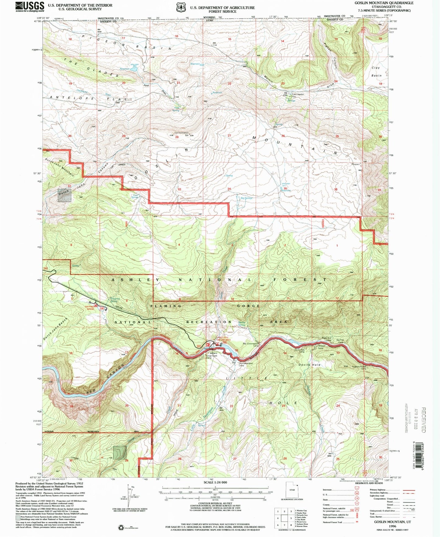
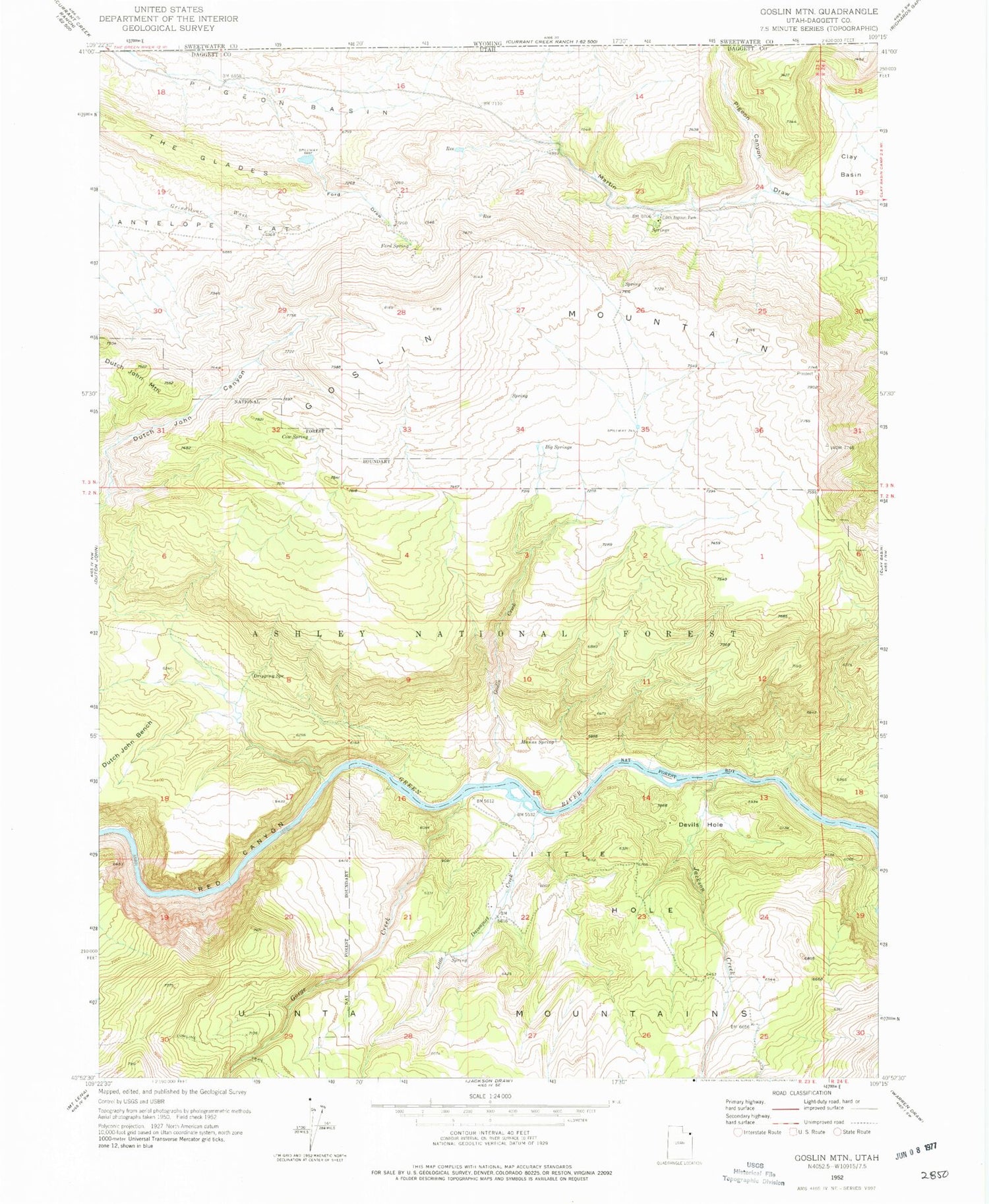
Classic USGS Goslin Mountain Utah 7.5'x7.5' Topo Map
Couldn't load pickup availability
Historical USGS topographic quad map of Goslin Mountain in the state of Utah. Typical map scale is 1:24,000, but may vary for certain years, if available. Print size: 24" x 27"
This quadrangle is in the following counties: Daggett, Sweetwater.
The map contains contour lines, roads, rivers, towns, and lakes. Printed on high-quality waterproof paper with UV fade-resistant inks, and shipped rolled.
Contains the following named places: Big Springs, Cow Spring, Devils Hole, Dripping Spring, Edith Aspden Park, Ford Draw, Ford Spring, Gorge Creek, Goslin Creek, Goslin Mountain, Jackson Creek, Little Davenport Creek, Little Devils Hole, Manns Spring, Pigeon Basin, Pigeon Canyon, Red Canyon, Red Creek, Uinta Mountains, Goslin Mountain Wildlife Management Area, Little Davenport Wildlife Management Area, Little Hole Wildlife Management Area, Big Pine Camp, Trails End Camp, Big Cottonwood Camp, Devils Hole Camp, Gonge Creek Camp, Jackson Camp, Dripping Spring Campground, Pugmire Pocket Campground, Red Creek Campground, Little Hotel Campground