MyTopo
Classic USGS Gould City Michigan 7.5'x7.5' Topo Map
Couldn't load pickup availability
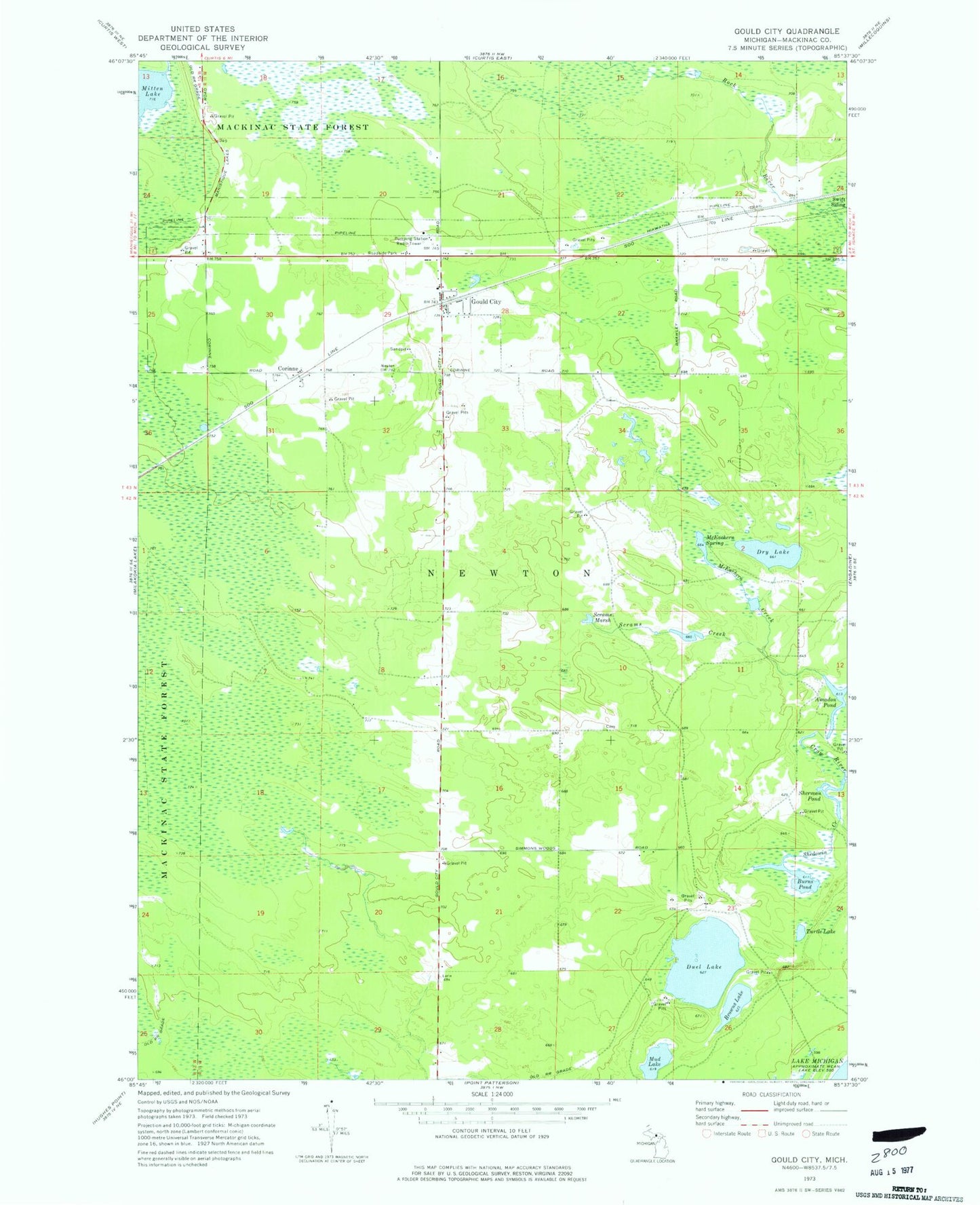
Historical USGS topographic quad map of Gould City in the state of Michigan. Map scale may vary for some years, but is generally around 1:24,000. Print size is approximately 24" x 27"
This quadrangle is in the following counties: Mackinac.
The map contains contour lines, roads, rivers, towns, and lakes. Printed on high-quality waterproof paper with UV fade-resistant inks, and shipped rolled.
Contains the following named places: Amadon Pond, Bovee Post Office, Bovee Station, Browns Lake, Burns Pond, Corinne, Corinne Station, Crow River, Dry Lake, Duel Lake, Gould City, Gould City Post Office, Gould City Station, McEachern Creek, McEachern Spring, Mud Lake, Newton Township Fire Department, Polly Family Cemetery, Scrams Creek, Scrams Marsh, Shedowin Creek, Sherman Pond, Township of Newton, Turtle Lake, Viola Post Office, ZIP Code: 49838