MyTopo
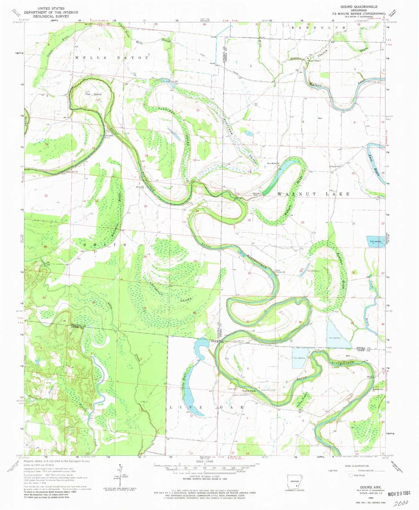
Classic USGS Gourd Arkansas 7.5'x7.5' Topo Map
Couldn't load pickup availability
Historical USGS topographic quad map of Gourd in the state of Arkansas. Map scale may vary for some years, but is generally around 1:24,000. Print size is approximately 24" x 27"
This quadrangle is in the following counties: Desha, Drew, Lincoln.
The map contains contour lines, roads, rivers, towns, and lakes. Printed on high-quality waterproof paper with UV fade-resistant inks, and shipped rolled.
Contains the following named places: Arrington Brake, Bear Slough, Belle Anderson Brake, Campbells Brake, Cooks Brake, Curtis Hall Cemetery, Cypress Grove Cemetery, Cypress Grove Church, Eastman Brake, Eureka School, Fletcher Brake, Gourd, Grissoms Bend, Jerusalem Church, Mills Slough, Morning Star Baptist Church, Mount Pisner Church, New Bethel Church, Orange Chapel, Palestine Church, Raddish Bend, Saint Pauls Church, Serene Church, Slide Off Bend, Taylor Cemetery, The Gourd, Township of Walnut Lake, Valley Brake, Valley Farm, Walnut Grove Church, Wilborn Brake, ZIP Code: 71662