
MyTopo
Classic USGS Government Hill SE Montana 7.5'x7.5' Topo Map
Regular price
$16.95
Regular price
Sale price
$16.95
Unit price
per
Couldn't load pickup availability
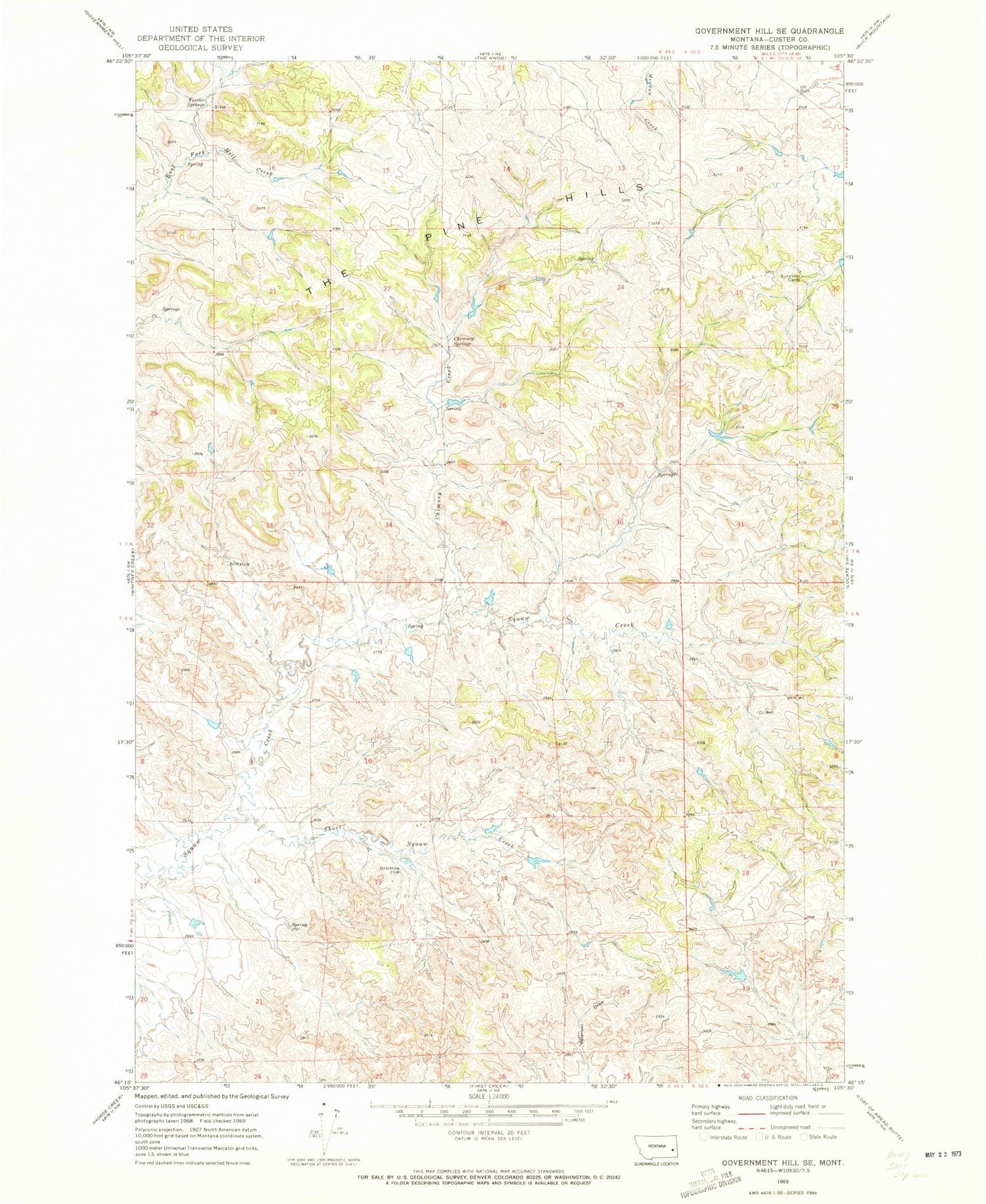
Historical USGS topographic quad map of Government Hill SE in the state of Montana. Map scale may vary for some years, but is generally around 1:24,000. Print size is approximately 24" x 27"
This quadrangle is in the following counties: Custer.
The map contains contour lines, roads, rivers, towns, and lakes. Printed on high-quality waterproof paper with UV fade-resistant inks, and shipped rolled.
Contains the following named places: 07N48E28DBCD01 Well, Chimney Creek, Chimney Springs, Custer County, Fessler Springs, Iron Teeth Woman Creek, Jones Number 4 Dam, Severson Number 3 Dam, Sunshine Camp


