MyTopo
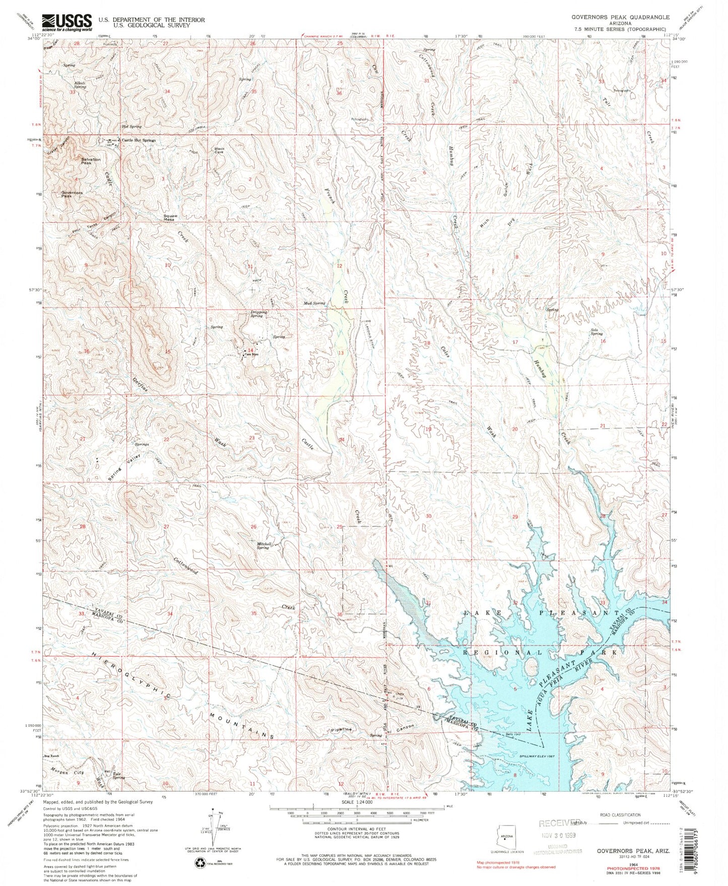
Classic USGS Governors Peak Arizona 7.5'x7.5' Topo Map
Couldn't load pickup availability
Historical USGS topographic quad map of Governors Peak in the state of Arizona. Typical map scale is 1:24,000, but may vary for certain years, if available. Print size: 24" x 27"
This quadrangle is in the following counties: Maricopa, Yavapai.
The map contains contour lines, roads, rivers, towns, and lakes. Printed on high-quality waterproof paper with UV fade-resistant inks, and shipped rolled.
Contains the following named places: Alkali Spring, Bitter Creek, Castle Creek, Castle Hot Springs, Coles Wash, Cottonwood Creek, Cottonwood Creek, Cow Creek, Crater Canyon, Dripping Spring, Dry Wash, Four Tanks Canyon, French Creek, Garfias Wash, Governors Peak, Hot Spring, Lake Pleasant Regional Park, Mitchell Spring, Mud Spring, Pipeline Canyon, Lake Pleasant, Rich Gulch, Salvation Peak, Solo Spring, Spring Valley, Squaw Mesa, Tule Spring, Casa Rosa, Humbug Creek


