MyTopo
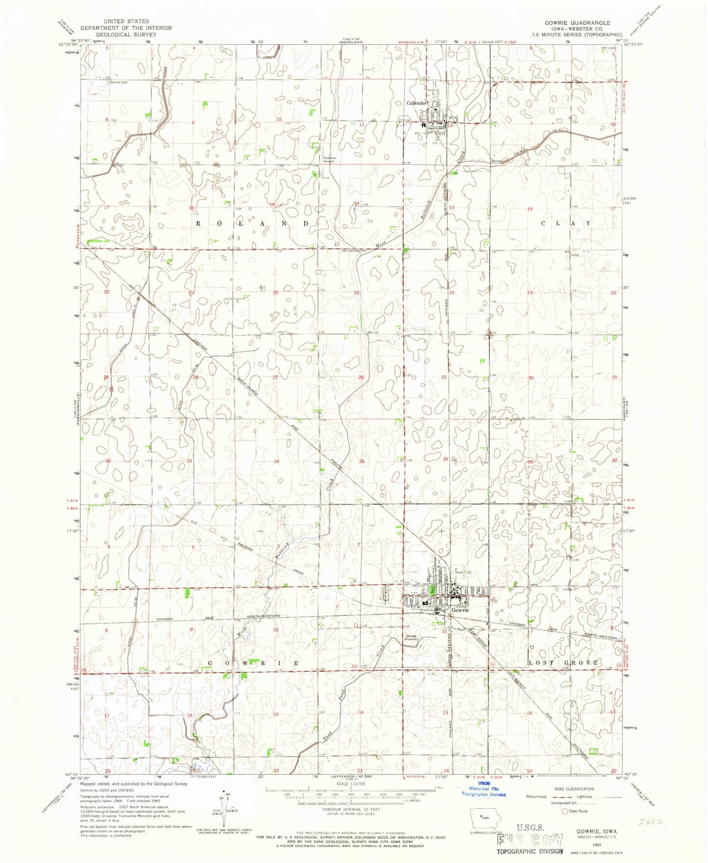
Classic USGS Gowrie Iowa 7.5'x7.5' Topo Map
Couldn't load pickup availability
Historical USGS topographic quad map of Gowrie in the state of Iowa. Map scale may vary for some years, but is generally around 1:24,000. Print size is approximately 24" x 27"
This quadrangle is in the following counties: Webster.
The map contains contour lines, roads, rivers, towns, and lakes. Printed on high-quality waterproof paper with UV fade-resistant inks, and shipped rolled.
Contains the following named places: Bruntlett Elevator, Callender, Callender Cemetery, Callender Community Center, Callender Community Fire Department, Callender Post Office, Callender Public Library, City of Callender, City of Gowrie, Community Clinic, Danish Cemetery, Ditch Number 5, Ditch Number 52, Gowrie, Gowrie Care Center, Gowrie City Community Center, Gowrie City Police Department, Gowrie Depot Historical Museum, Gowrie Fire Department, Gowrie Golf and Country Club, Gowrie Post Office, Gowrie Public Library, Gowrie Township Cemetery, Laurel Park, Lindquist Wildlife Sanctuary, Our Saviour Cemetery, Our Saviours Lutheran Church, Peterson Airport, Rock Vision Clinic, Southeast Valley High School, Southwest Webster Ambulance Service, Township of Gowrie, Township of Roland, United Methodist Church, West Central Co-op Company Elevator, West Central Co-op Elevator, Zion Lutheran Church, ZIP Codes: 50523, 50543