MyTopo
Classic USGS Grabill Indiana 7.5'x7.5' Topo Map
Couldn't load pickup availability
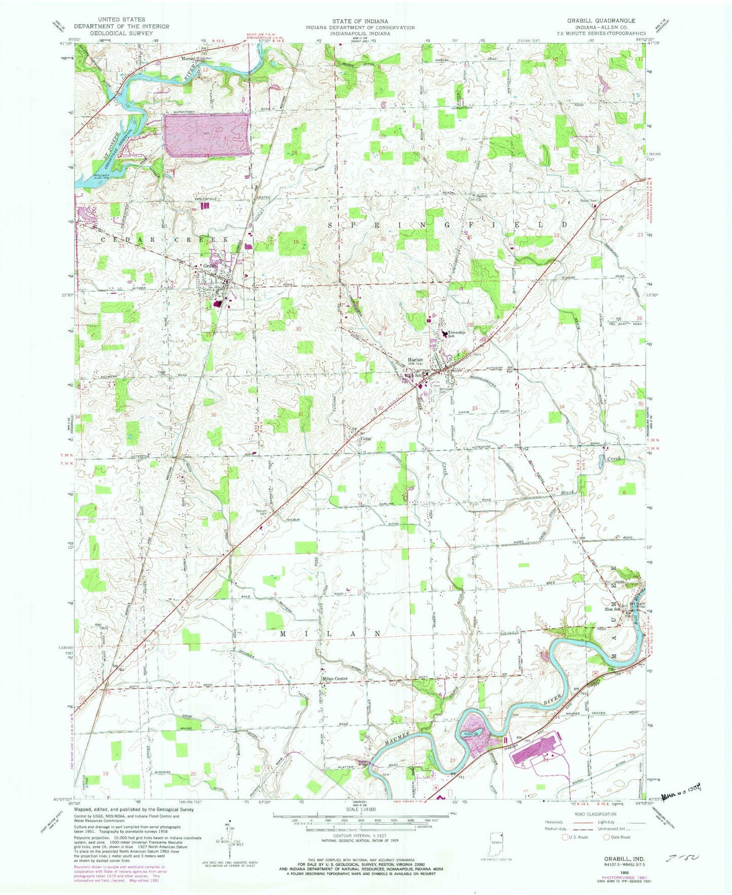
Historical USGS topographic quad map of Grabill in the state of Indiana. Map scale may vary for some years, but is generally around 1:24,000. Print size is approximately 24" x 27"
This quadrangle is in the following counties: Allen.
The map contains contour lines, roads, rivers, towns, and lakes. Printed on high-quality waterproof paper with UV fade-resistant inks, and shipped rolled.
Contains the following named places: Amstutz Ditch, Barnett Chapel Cemetery, Boger Ditch, Bottern Ditch, Bull Rapids, Bull Rapids Bridge, Cuba, Grabill, Grabill Post Office, Grice Ditch, Haifley Ditch, Harding Ditch, Harlan, Harlan Census Designated Place, Harlan Memorial Cemetery, Harlan Post Office, Hursh, Hurshtown Bridge, Hurshtown Reservoir, Hurshtown Reservoir Dam, Kurtz Ditch, Marsh Ditch, Milan Center, Northeast Allen County Fire and Emergency Medical Services, Northeast Allen County Fire Department and Emergency Medical Services, Oberhaltzer Ditch, Platter Bridge, Reichelderfer Ditch, Roth Ditch, Salem Church, Shumacher Ditch, Smith-Fry Ditch, Town of Grabill, Township of Milan, Township of Springfield, Turkey Run Airport, Ward Lake Ditch, Wertz Ditch, Wilbur Ditch, Witmer Ditch, Yaggy Cemetery, Zion School, ZIP Code: 46741


