MyTopo
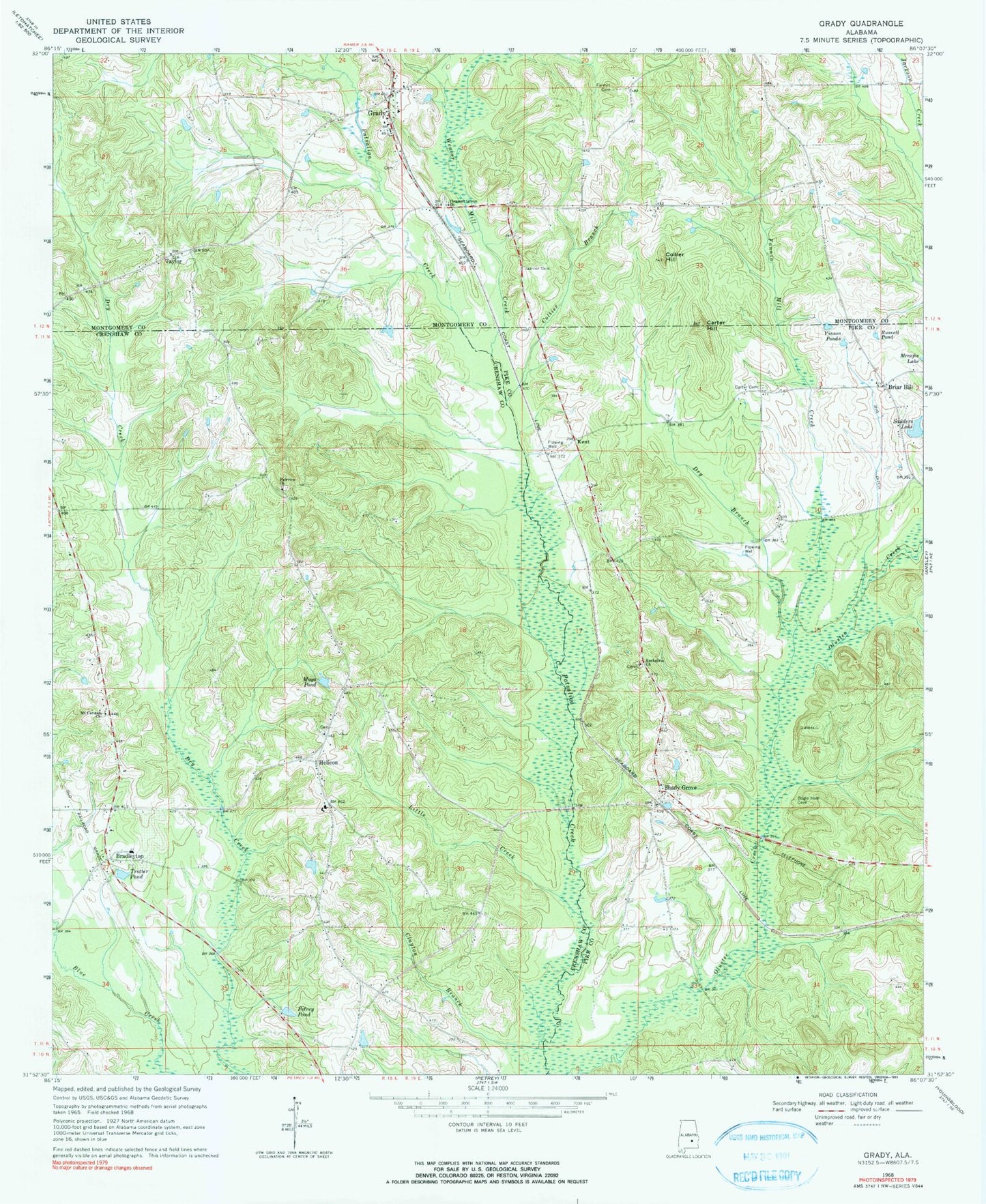
Classic USGS Grady Alabama 7.5'x7.5' Topo Map
Couldn't load pickup availability
Historical USGS topographic quad map of Grady in the state of Alabama. Map scale may vary for some years, but is generally around 1:24,000. Print size is approximately 24" x 27"
This quadrangle is in the following counties: Crenshaw, Montgomery, Pike.
The map contains contour lines, roads, rivers, towns, and lakes. Printed on high-quality waterproof paper with UV fade-resistant inks, and shipped rolled.
Contains the following named places: Bradleyton, Bradleyton Church, Bradleyton Post Office, Briar Hill, Carter Cemetery, Carter Hill, Carter School, Chesser Post Office, Clayton Branch, Collier Branch, Collier Hill, Dry Branch, Fairview Church, Fannin Cemetery, Fannin Mill Creek, Garner Cemetery, Grady, Grady Post Office, Helicon, Helicon Church, Helicon School, Hudson Cemetery, Kent, Kent Bridge, Little Creek, Mays Pond, Mount Canaan Church, Olustee, Olusty Creek, Petrey Pond, Pleasant Grove Church, Rising Star Church, Rockelvin Church, Russell Pond, Salter Bridge, Sanders Lake, Shady Grove, Shady Grove Methodist Church, South Montgomery County Academy, Taylor, Trotter Pond, Tucker Creek, Vinson Ponds, Weaver Mill Creek, WIGC-FM (Troy), Wiggins Farms, WSFA-TV (Montgomery), ZIP Code: 36036