MyTopo
Classic USGS Graham Alabama 7.5'x7.5' Topo Map
Couldn't load pickup availability
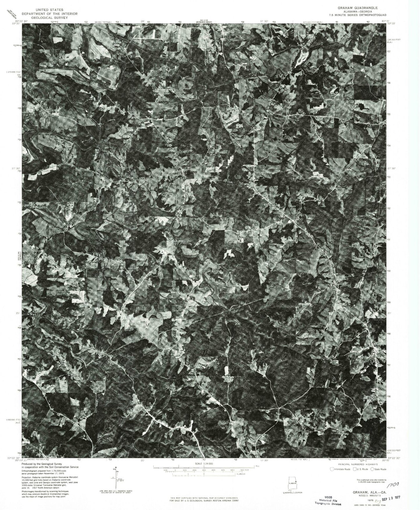
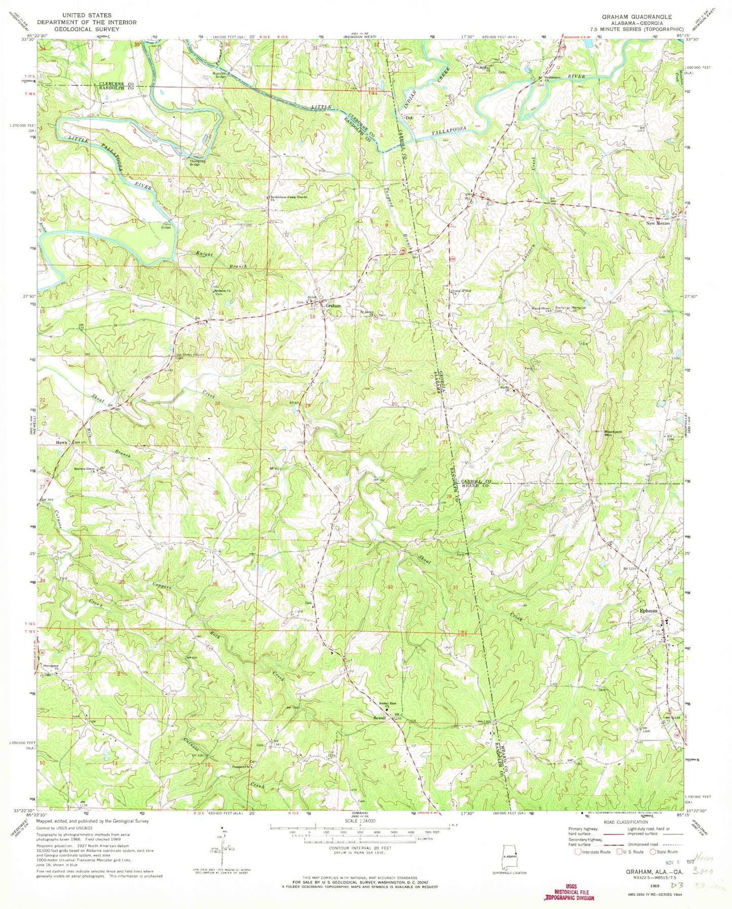
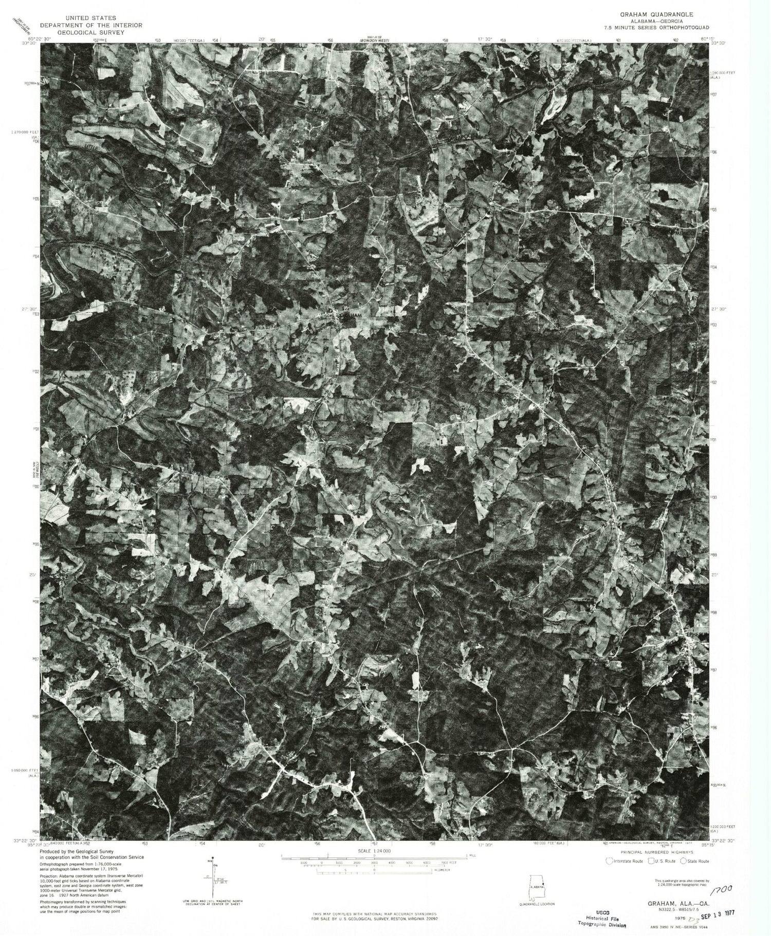
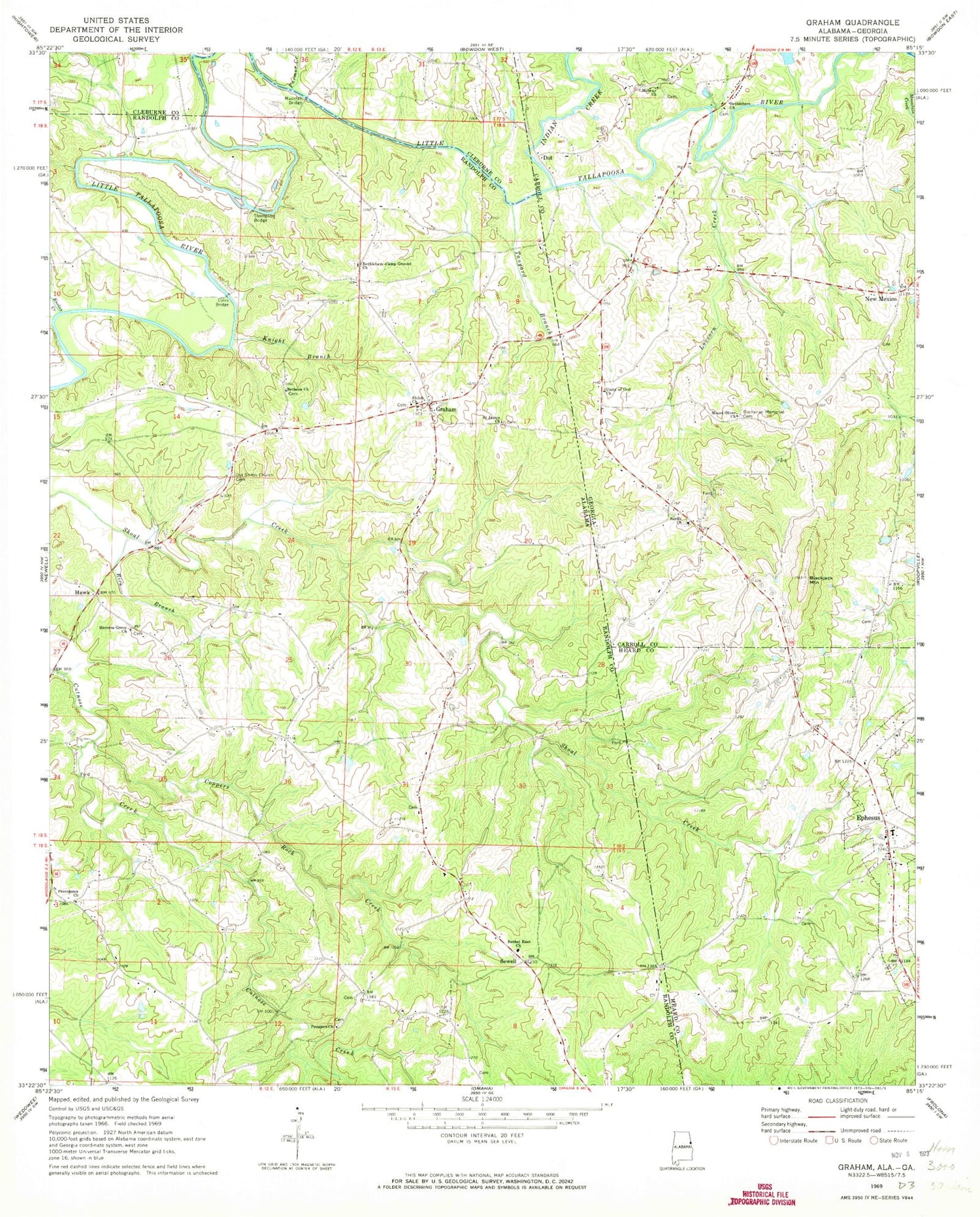
Historical USGS topographic quad map of Graham in the states of Alabama, Georgia. Map scale may vary for some years, but is generally around 1:24,000. Print size is approximately 24" x 27"
This quadrangle is in the following counties: Carroll, Cleburne, Heard, Randolph.
The map contains contour lines, roads, rivers, towns, and lakes. Printed on high-quality waterproof paper with UV fade-resistant inks, and shipped rolled.
Contains the following named places: Bethel, Bethel East Church, Bethel East Volunteer Fire Department, Bethelhem Church, Bethena United Methodist Church Cemetery, Bethlehem Camp Ground Church, Bethlehem Cemetery, Bethlehem Primitive Baptist Church, Blackjack Mountain, Buchanan Memorial Cemetery, Bucktown, Bud Coffee Branch, Burgess, City of Ephesus, Coats Cemetery, Coles Bridge, Coppers Rock Creek, Dot, Ephesus, Ephesus Baptist Church, Ephesus Cemetery, Ephesus Elementary School, Ephesus Fire Department Station 3, Farmer Creek, Friendship Church, Graham, Graham Census Designated Place, Graham Post Office, Hawk, Herrens Grove Church, Indian Creek, Kaylor, Knight Branch, Knokes Creek, Lovvorn Creek, Midway Cemetery, Midway Church, Midway School, Mount Oliver Church, Muckfau Bridge, New Mexico, Old Shiloh Church Cemetery, Prospect Congregational Methodist Church, Providence, Providence Church, Reeves School, Rice Branch, Saint James Church, Sardis Cemetery, Sardis Church, Saxon Crossroads, Sewell, Shiloh Church, Tanyard Branch, Thompson Bridge, Unity Cemetery, Unity of God Church, Victory Cathedral Church, West Lake, West Lake Dam, ZIP Code: 36263