MyTopo
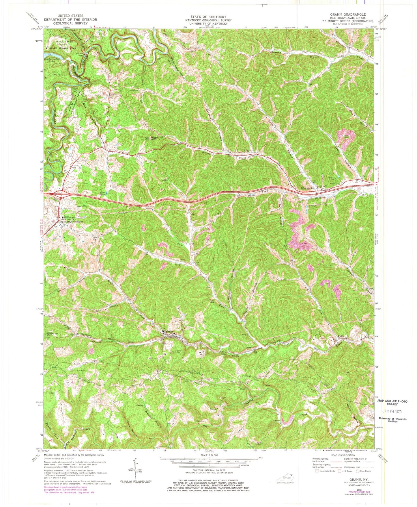
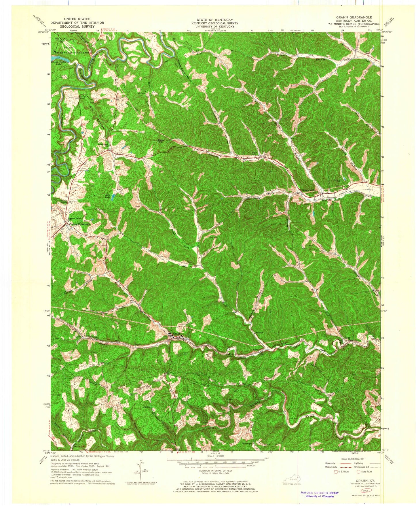
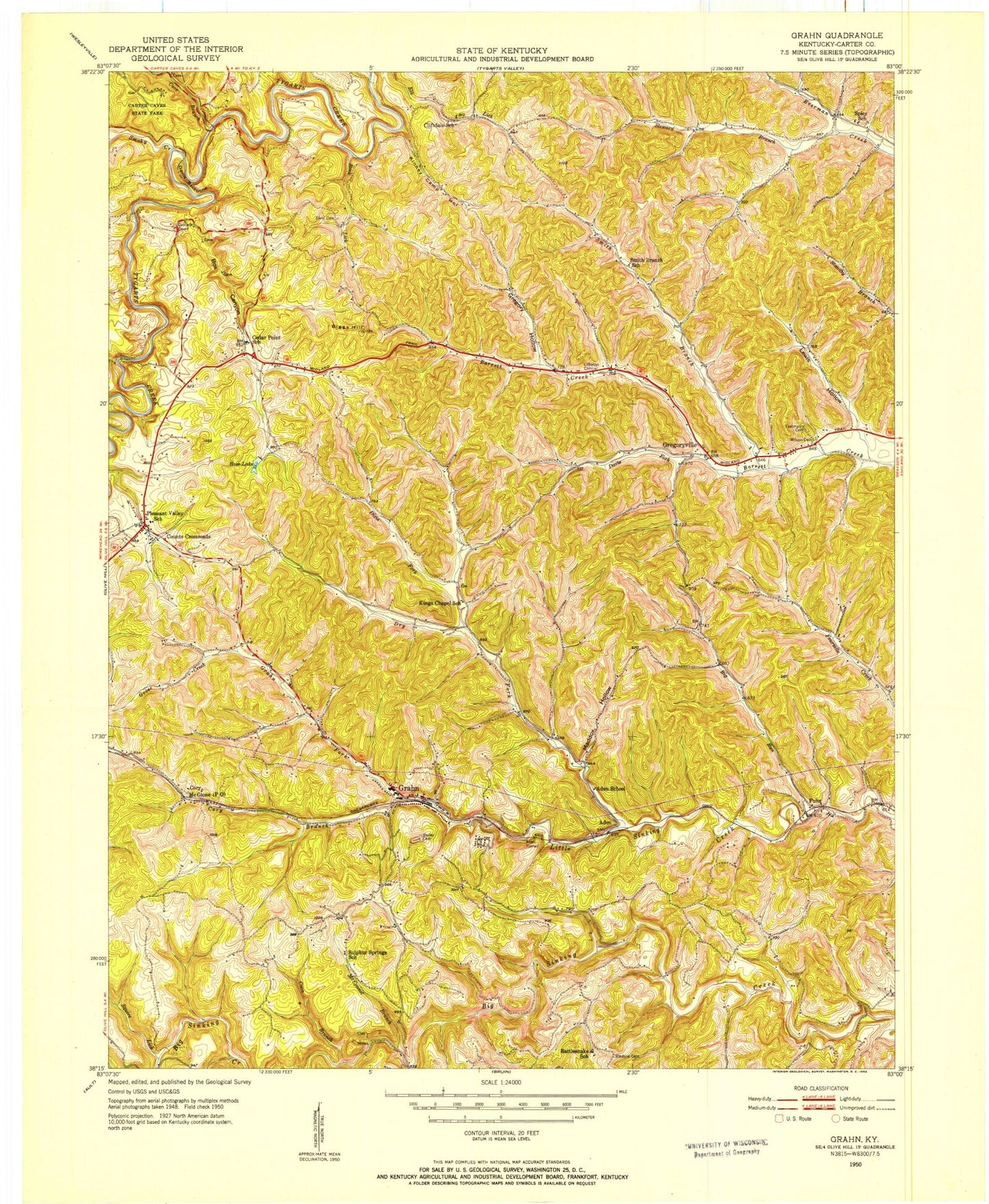
Classic USGS Grahn Kentucky 7.5'x7.5' Topo Map
Couldn't load pickup availability
Historical USGS topographic quad map of Grahn in the state of Kentucky. Map scale may vary for some years, but is generally around 1:24,000. Print size is approximately 24" x 27"
This quadrangle is in the following counties: Carter.
The map contains contour lines, roads, rivers, towns, and lakes. Printed on high-quality waterproof paper with UV fade-resistant inks, and shipped rolled.
Contains the following named places: Abbott Hollow, Aden, Aden School, Aden Tunnel, Bailey Cemetery, Big Run, Biggs Hill, Bledsoe Cemetery, Box Canyon, Burns Hollow, Carter Caves State Resort Park, Carter County, Cave Branch, Caves Post Office, Cedar Point School, Cliffdale School, Colley Cemetery, Corey School, Corn Branch, Cory, Cory Branch, Counts Crossroads, Counts Crossroads Post Office, Cox Post Office, Davis Fork, Devils Backbone, Dixie Fork, Dry Fork, Dudley Branch, Everman Cemetery, Fay Post Office, Fern Bridge, Field Cemetery, Fontana Post Office, Fultz, Fultz Post Office, Fultz School, Fultz Switch, Goose Creek, Grahn, Grahn Division, Grahn Fork, Grahn Nazarene Church, Grahn Post Office, Grahn School, Grahn Volunteer Fire Department, Gregory Hollow, Gregoryville, Gregoryville Post Office, Gregoryville School, Hall Branch, Hocks Nest, Kenny Camp Creek, Kings Chapel Post Office, Kings Chapel School, Kinney Camp Hollow, Kirk Memorial Missionary Baptist Church, Kiser Branch, Lewis Hollow, Littleton Cemetery, Maddox Hollow, Mayo Hill, McConnel Branch, McGlome Post Office, Mountain Top Chapel, New Light Church, Old Hanging Prison Wall Gardens, Pleasant Valley Church, Pleasant Valley School, Rattlesnake School, Raven Bridge, Rock Lick, Rose Lake, Saulsberry Branch, Smith Branch, Smith Branch School, Smoky Creek, Spicy School, Squire Lick, Steward Branch, Stone Coal Branch, Sulfur Spring School, Taylor Branch, The Robert Gee Memorial Christian Church, Tygart Canyon, Wilson Cemetery, ZIP Code: 41142


