MyTopo
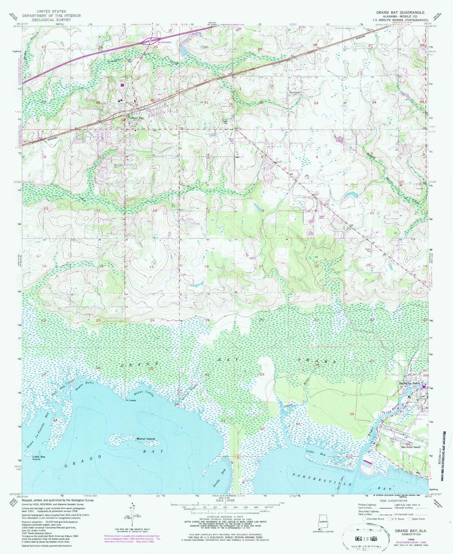
Classic USGS Grand Bay Alabama 7.5'x7.5' Topo Map
Couldn't load pickup availability
Historical USGS topographic quad map of Grand Bay in the state of Alabama. Map scale may vary for some years, but is generally around 1:24,000. Print size is approximately 24" x 27"
This quadrangle is in the following counties: Mobile.
The map contains contour lines, roads, rivers, towns, and lakes. Printed on high-quality waterproof paper with UV fade-resistant inks, and shipped rolled.
Contains the following named places: Bayou Bubie, Bayou Caddy, Bayou La Batre, Bayou La Batre Church, Bayou La Fourche Bay, Bull Bay Bayou, Church of Christ, City of Bayou La Batre, Cora Castlen School, Elizabeth Church, Faith Baptist Church, Fernland, First Assembly of God Church, First Baptist Church of Grand Bay, First Church of the Nazarene, First United Methodist Church, Friendship Baptist Church, Grand Bay, Grand Bay Cemetery, Grand Bay Census Designated Place, Grand Bay Church, Grand Bay Division, Grand Bay Post Office, Grand Bay Swamp, Grand Bay United Methodist Church, Grand Bay Volunteer Fire Department, Grand Bayou, Grand Garden Church, H C Farmer Dam, Higher Ground Baptist Church, Holy Assembly Church, J and J Speedway, Lighthouse Church, Little Bay, Little Bay Island, Little River, Little Rock Church, Marsh Island, Mobile County High School, New Beginnings Ministry Baptist Church, Pine Air Church, Pine Hill Cemetery, Pinecrest, Piner McGrew Cemetery, Point Caddy, Saint John's Catholic Church, San Souci Beach, Sandy Bay, Shiloh Church, Summit Mobile Home Park, The Lord Church, ZIP Codes: 36509, 36541


