


MyTopo
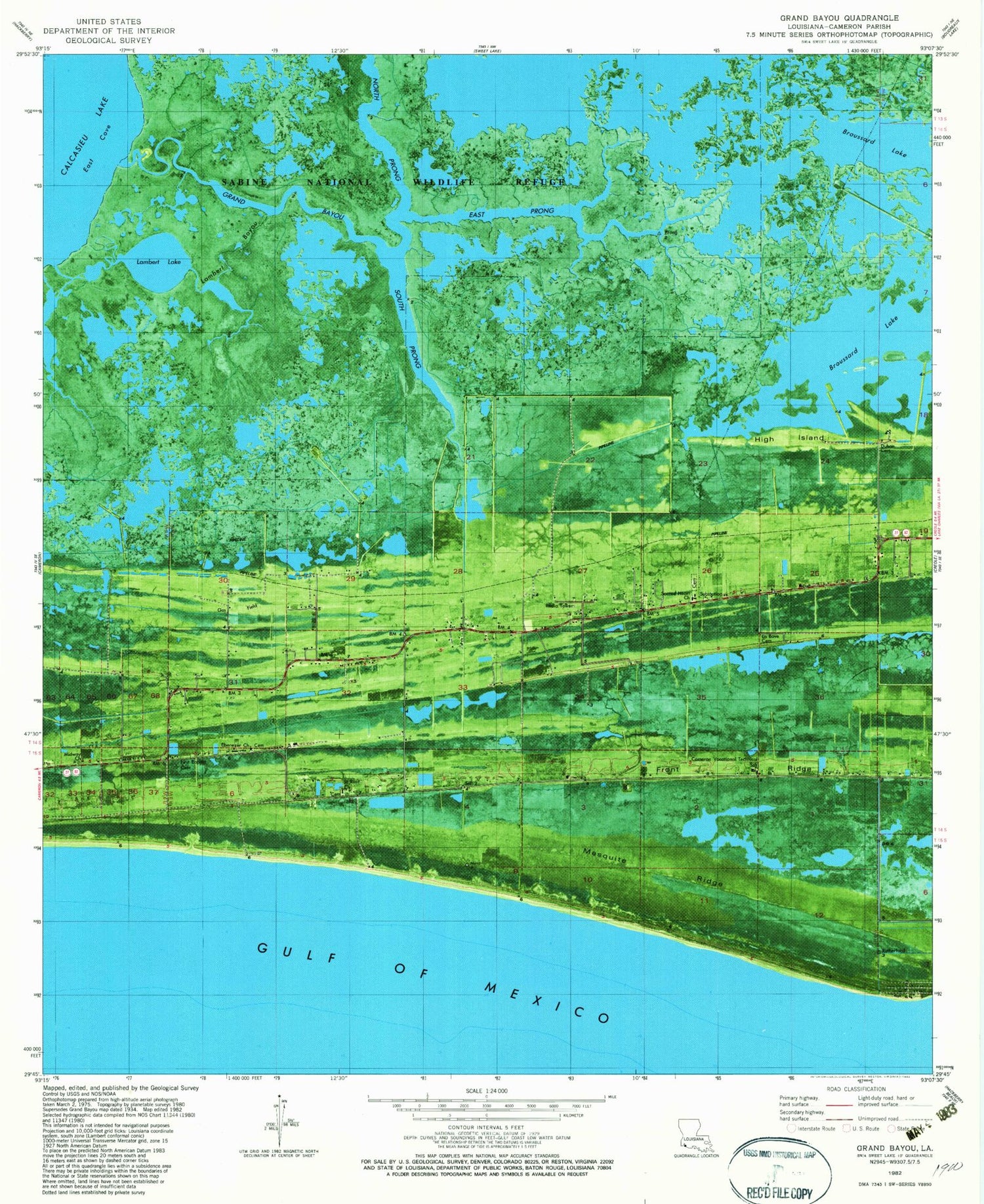
Classic USGS Grand Bayou Louisiana 7.5'x7.5' Topo Map
Couldn't load pickup availability
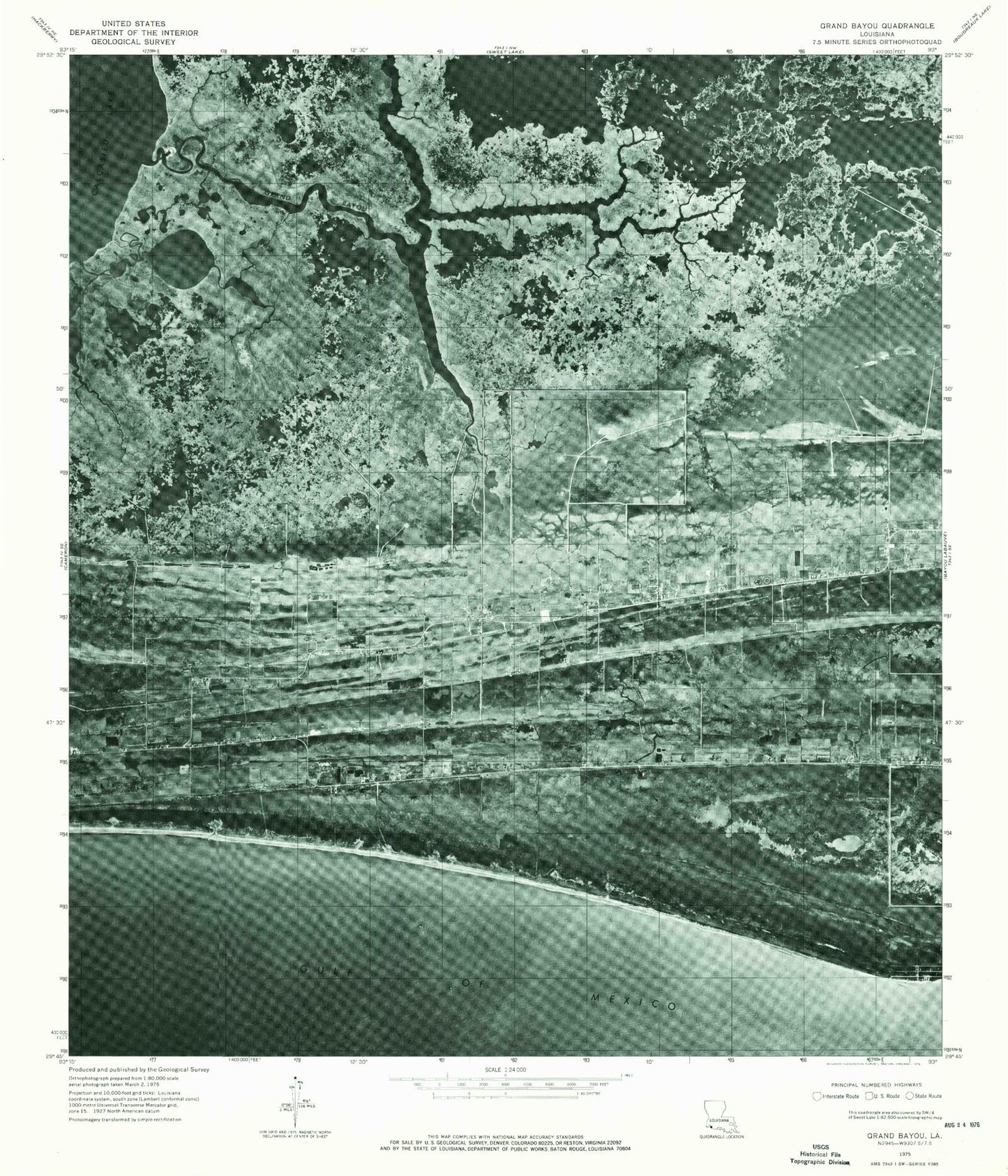
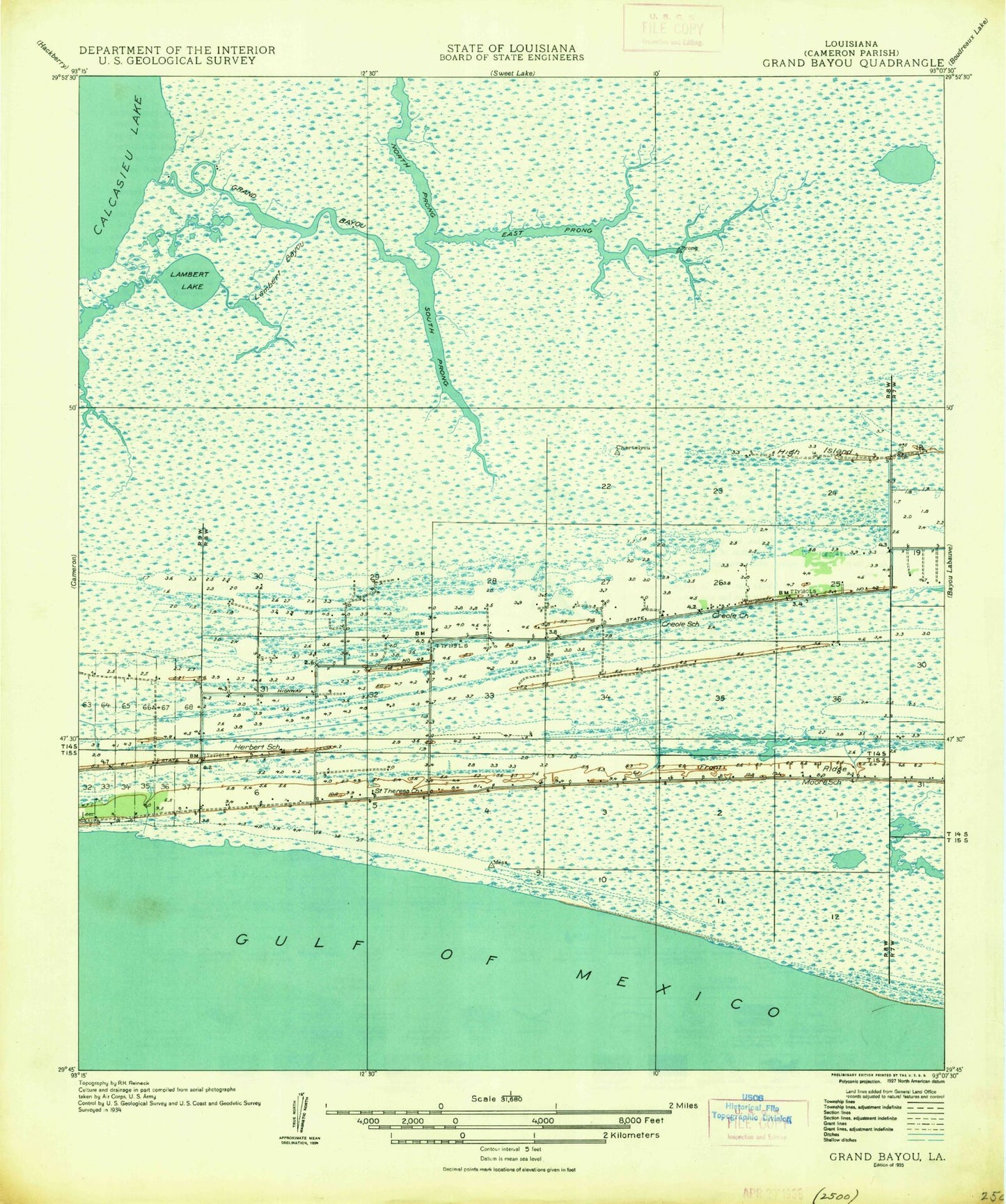
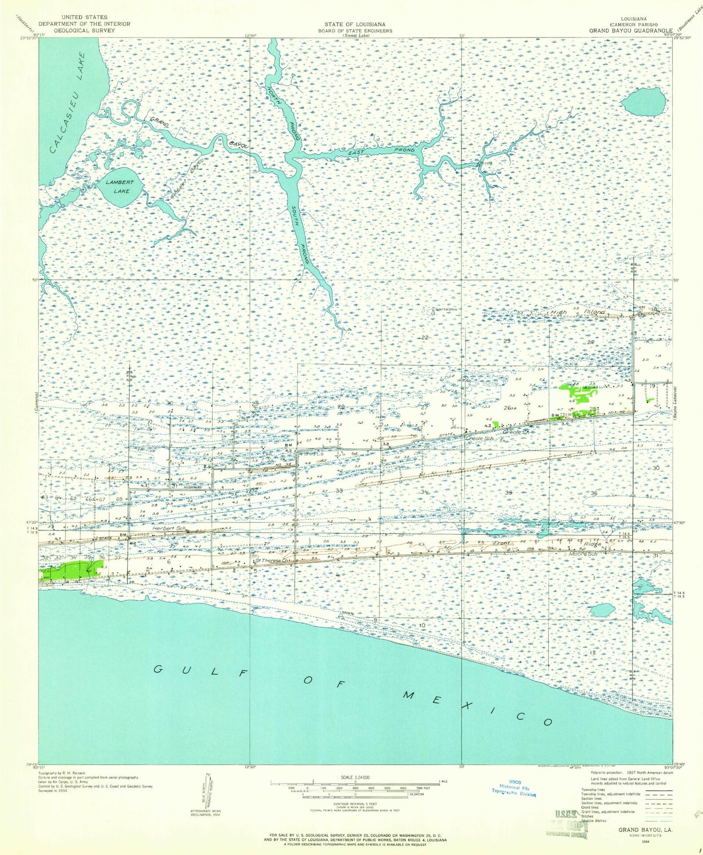
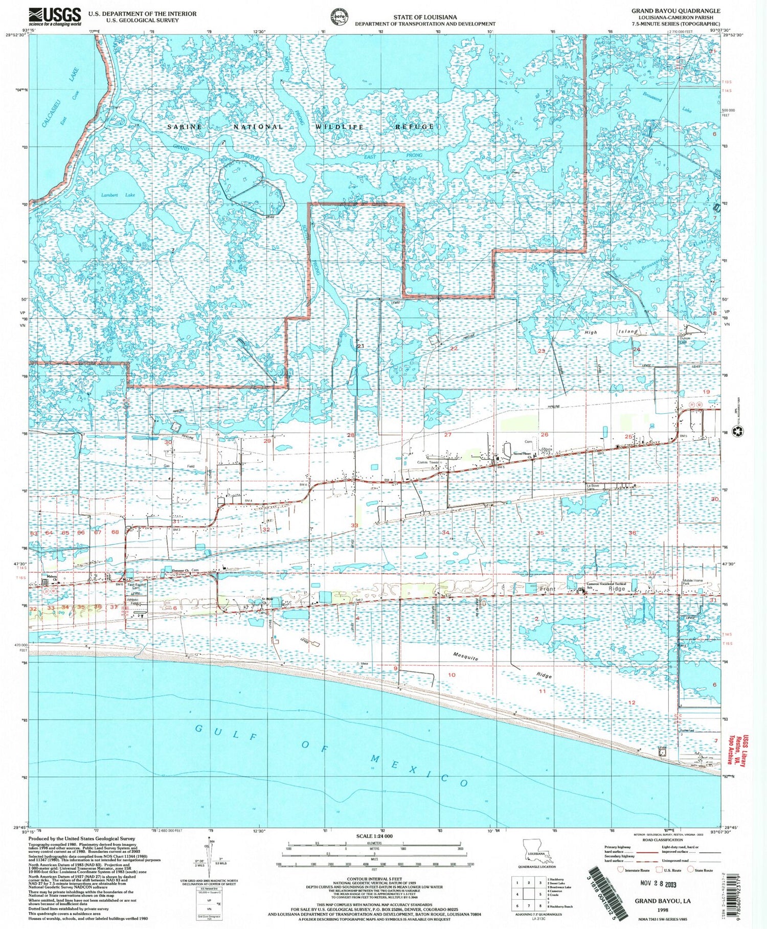
Historical USGS topographic quad map of Grand Bayou in the state of Louisiana. Map scale may vary for some years, but is generally around 1:24,000. Print size is approximately 24" x 27"
This quadrangle is in the following counties: Cameron.
The map contains contour lines, roads, rivers, towns, and lakes. Printed on high-quality waterproof paper with UV fade-resistant inks, and shipped rolled.
Contains the following named places: Broussard Lake, Cameron Parish, Cameron Parish Police Jury Barn, Cameron Prairie National Wildlife Refuge, Cameron Vocational Technical School, Creole Canal, Creole School, Duhon Cemetery, East Cove, East Prong of Grand Bayou, Ebenezer Church, Evergreen Heliport, First Baptist Cemetery, Front Ridge, Grand Bayou, Herbert School, La Bove Cemetery, Lambert Bayou, Lambert Lake, Mesquite Ridge, Midway Church, Moore School, North Creole Gas Field, Parish Governing Authority District 5, Sacred Heart Church, Saint Rose Church, Saint Theresa Church, South Cameron Memorial Hospital, South Prong of Grand Bayou, West Creole Gas Field