MyTopo
Classic USGS Grand Bluff Texas 7.5'x7.5' Topo Map
Couldn't load pickup availability
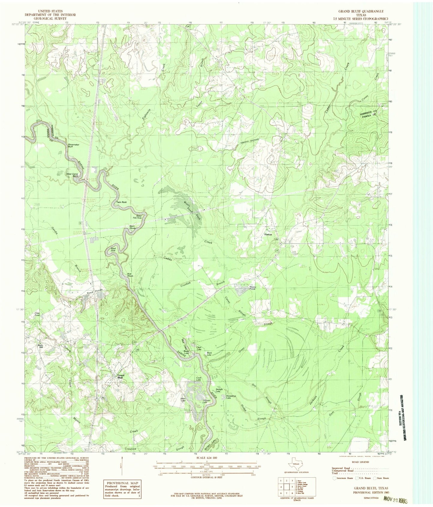
Historical USGS topographic quad map of Grand Bluff in the state of Texas. Map scale may vary for some years, but is generally around 1:24,000. Print size is approximately 24" x 27"
This quadrangle is in the following counties: Harrison, Panola.
The map contains contour lines, roads, rivers, towns, and lakes. Printed on high-quality waterproof paper with UV fade-resistant inks, and shipped rolled.
Contains the following named places: Akins Lake, Alligator Lake, Baker Fish Hole, Basin Lake, Beckville Volunteer Fire Department, Black Lake, Black Shoals, Caddo Creek, Caney Creek, Caney Slough, Carthage Gas Field, Clear Lake, Cook Lake, Crooked Branch, Crossroads Cemetery, Crossroads School, Dillard Creek, Dry Slough, Eightmile Creek, Gandia Branch, Grand Bluff, Grand Bluff Cemetery, Greer Slough, Hodge Slough, Horton, Jernigan Lake, Kelly Camp, Martin Creek, Massey Ponds, Minnow Ponds, Mud Lakes, Piney Grove Cemetery, Rock Hill Church, Shady Grove Cemetery, Shady Grove School, Shoemaker Bluff, Straight Lake, Sunny Grove Church, Taylor Branch, Twin Rock, Walnut Springs Church, Watt Shoals, Wattle Duck Pond, West Camp Bend


