MyTopo
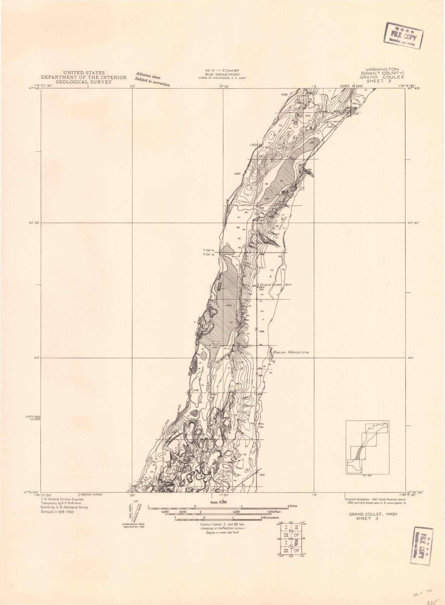
Classic USGS Grand Coulee Washington 7.5'x7.5' Topo Map
Couldn't load pickup availability
Historical USGS topographic quad map of Grand Coulee in the state of Washington. Map scale may vary for some years, but is generally around 1:24,000. Print size is approximately 24" x 27"
This quadrangle is in the following counties: -.
The map contains contour lines, roads, rivers, towns, and lakes. Printed on high-quality waterproof paper with UV fade-resistant inks, and shipped rolled.
Contains the following named places: Banks Lake South Census Designated Place, Chase Draw, Coulee City Cemetery, Dry Falls Junction, Durk Lake, Fordair, Goose Island, Heinlen Lake, Jollys Lake, Jollys Pond, Ludtke Lake, McDonald Draw, Mold, Mold Cemetery, Pilot Rock, Purdue Draw, Saint Andrews Substation, Shrock Draw, Sullivan Lake, Tule Lake