MyTopo
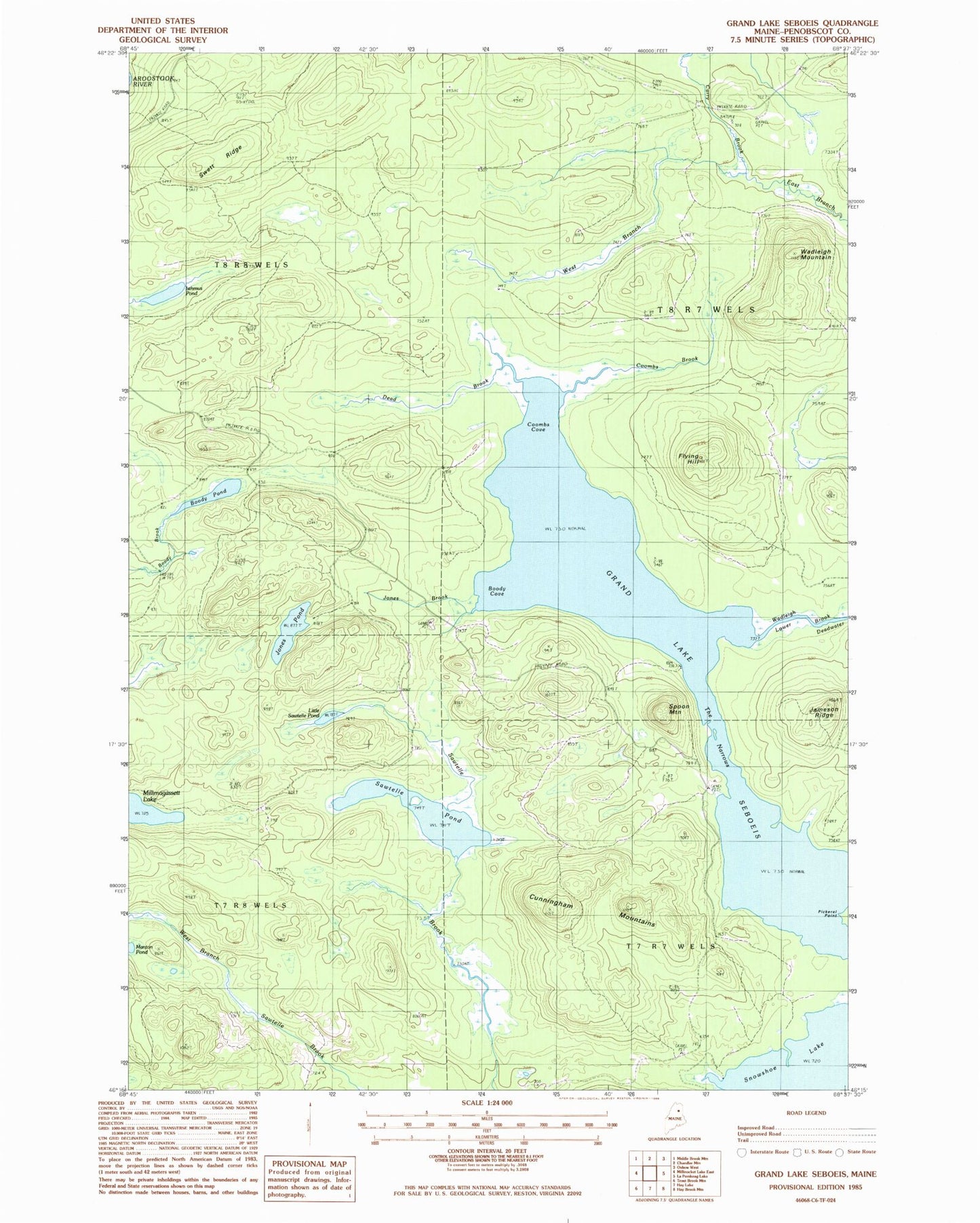
Classic USGS Grand Lake Seboeis Maine 7.5'x7.5' Topo Map
Couldn't load pickup availability
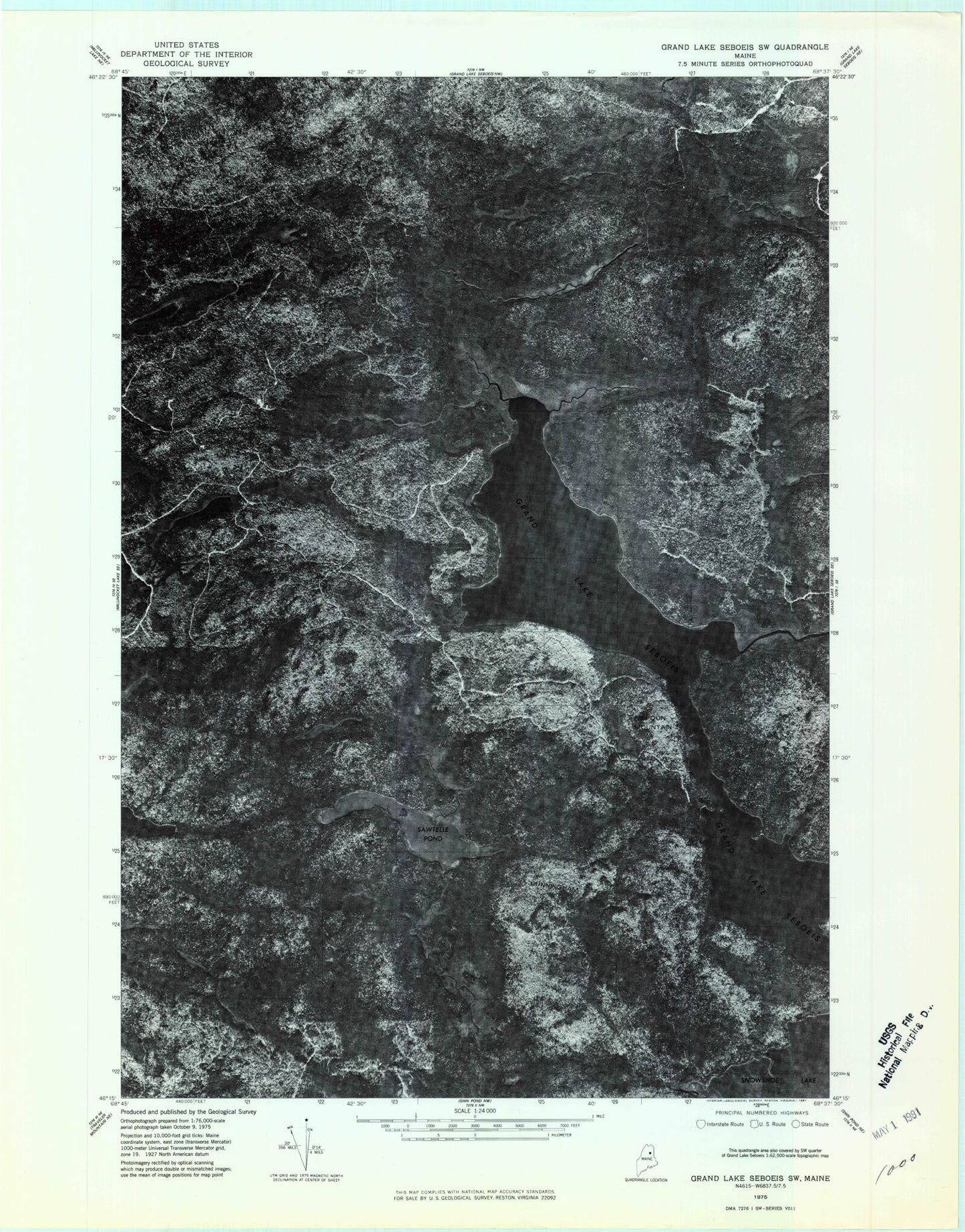
Historical USGS topographic quad map of Grand Lake Seboeis in the state of Maine. Typical map scale is 1:24,000, but may vary for certain years, if available. Print size: 24" x 27"
This quadrangle is in the following counties: Penobscot.
The map contains contour lines, roads, rivers, towns, and lakes. Printed on high-quality waterproof paper with UV fade-resistant inks, and shipped rolled.
Contains the following named places: Boody Cove, Boody Pond, Coombs Brook, Coombs Cove, Cunningham Mountains, Dead Brook, East Branch Carry Brook, Flying Hill, Grand Lake Seboeis, Isthmus Pond, Jameson Ridge, Jones Brook, Jones Pond, Little Sawtelle Pond, Manton Pond, Millinocket Lake Tote Road, Pickerel Point, Sawtelle Pond, Snowshoe Lake, Spoon Mountain, Swett Ridge, The Narrows, Wadleigh Brook, Wadleigh Mountain, West Branch Carry Brook, T7 R7 WELS, T8 R7 WELS