MyTopo
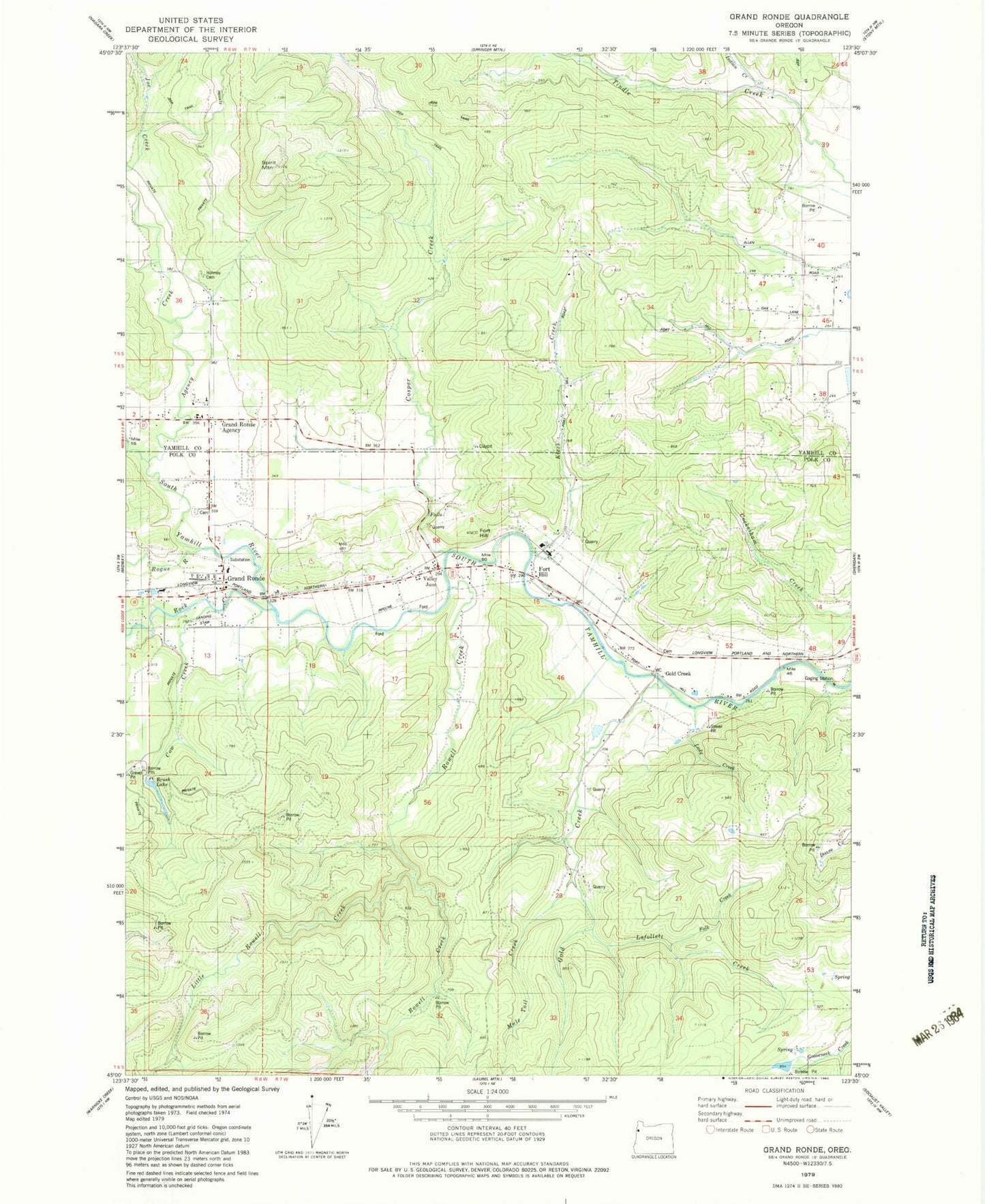
Classic USGS Grand Ronde Oregon 7.5'x7.5' Topo Map
Couldn't load pickup availability
Historical USGS topographic quad map of Grand Ronde in the state of Oregon. Map scale may vary for some years, but is generally around 1:24,000. Print size is approximately 24" x 27"
This quadrangle is in the following counties: Polk, Yamhill.
The map contains contour lines, roads, rivers, towns, and lakes. Printed on high-quality waterproof paper with UV fade-resistant inks, and shipped rolled.
Contains the following named places: Agency Creek, Anderson Airfield, Bailey Reservoir, Brush Lake, Burns Reservoir, Butler, Butler Post Office, Carter Creek, Confederated Tribes of Grand Ronde, Confederated Tribes of Grand Ronde Cemetery, Cosper Creek, Cow Creek, Doane Creek, Folk Creek, Fort Hill, Fort Hill Census Designated Place, Fort Yamhill, Gold Creek, Grand Ronde, Grand Ronde Agency, Grand Ronde Census Designated Place, Grand Ronde Post Office, Grand Ronde Sanitary District, Holmes Cemetery, Hussey Cemetery, Indian Cemetery, Indian Creek, Klees Creek, Lady Creek, Lafollett Creek, Little Rowell Creek, Mendenhall Airstrip, Mountain Springs Ranch Dam, Mountain Springs Ranch Reservoir, Mule Tail Creek, Ornoname 9 Dam, Rock Creek, Rogue River, Rowell Creek, Saint Michaels Catholic Church, Spirit Mountain, Spirit Mountain Rodeo Grounds, Suttner Reservoir, Tindle Creek, Valley Junction, West Valley Fire District Substation, Willamina Division, Willamina Middle School at Grand Ronde, ZIP Code: 97396


