MyTopo
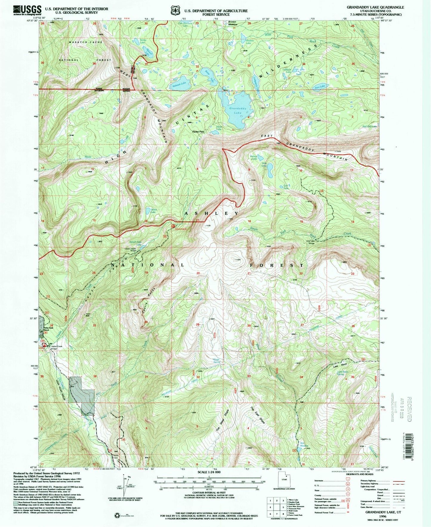
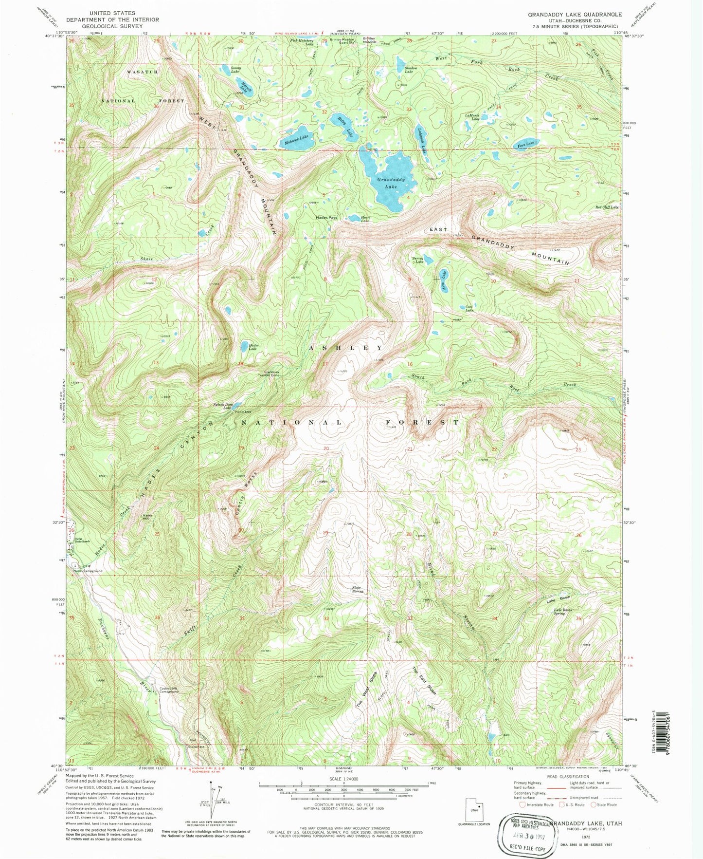
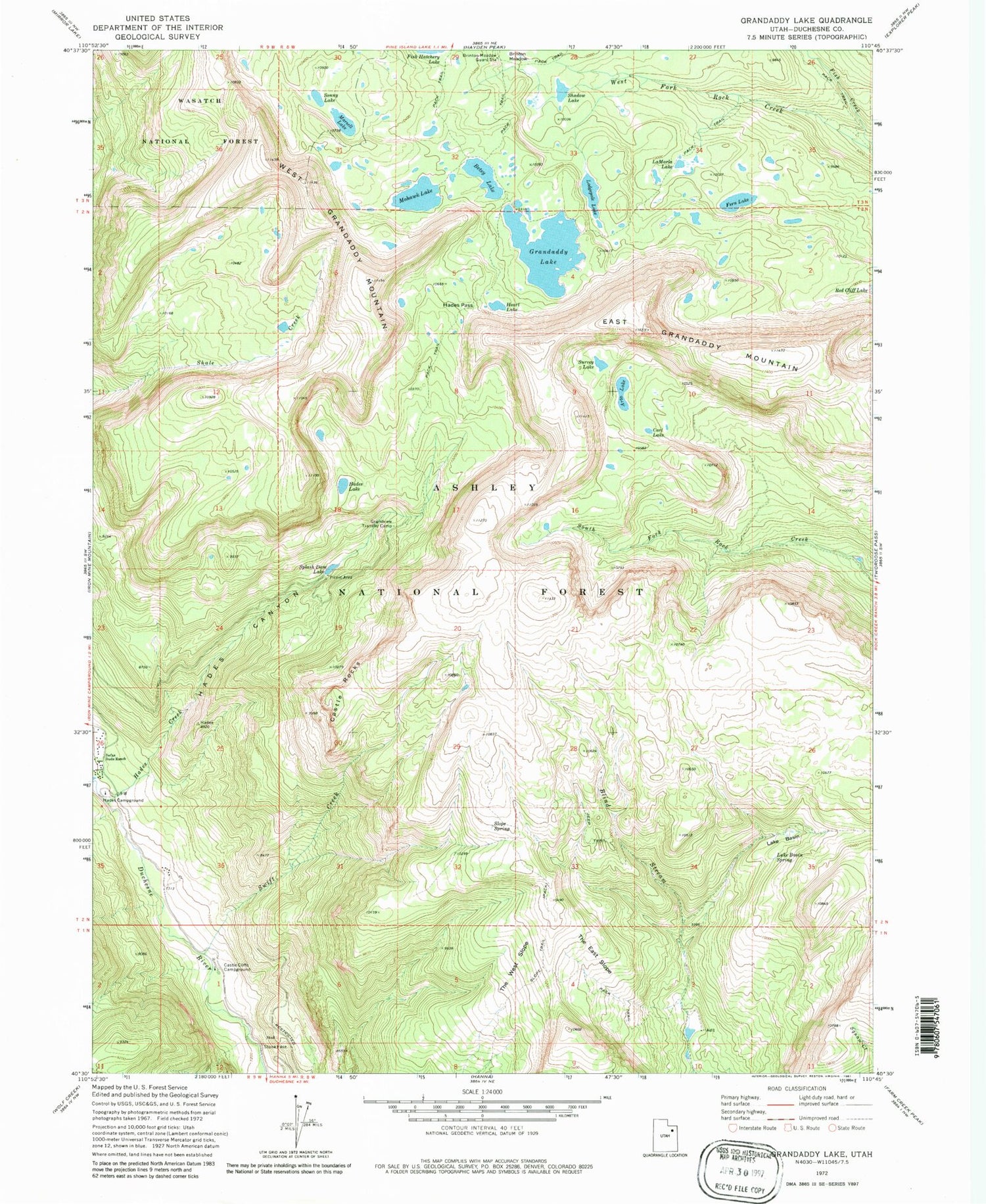
Classic USGS Grandaddy Lake Utah 7.5'x7.5' Topo Map
Couldn't load pickup availability
Historical USGS topographic quad map of Grandaddy Lake in the state of Utah. Typical map scale is 1:24,000, but may vary for certain years, if available. Print size: 24" x 27"
This quadrangle is in the following counties: Duchesne.
The map contains contour lines, roads, rivers, towns, and lakes. Printed on high-quality waterproof paper with UV fade-resistant inks, and shipped rolled.
Contains the following named places: Arta Lake, Betsy Lake, Brinton Meadow, Carl Lake, Castle Cliffs Campground, Castle Rocks, Fern Lake, Grandaddy Lake, Grandview Transfer Camp, Hades Campground, Hades Canyon, Hades Creek, Hades Lake, Hades Pass, Heart Lake, LaMarla Lake, Lake Basin, Lake Basin Spring, Lodgepole Lake, Marsell Lake, Mohawk Lake, Shadow Lake, Slope Spring, Slope Trail, Sonny Lake, Splash Dam Lake, Survey Lake, Swift Creek, The East Slope, The West Slope, West Grandaddy Mountain, Del Monte Mine, East Grandaddy Mountain, Red Cliff Lake, Splash Dam Campground, Stillwater Tunnel, Brinton Meadow Guard Station, East Slope Spring, Grandview Trailhead, Wet Meadow