MyTopo
Classic USGS Grandin North Carolina 7.5'x7.5' Topo Map
Couldn't load pickup availability
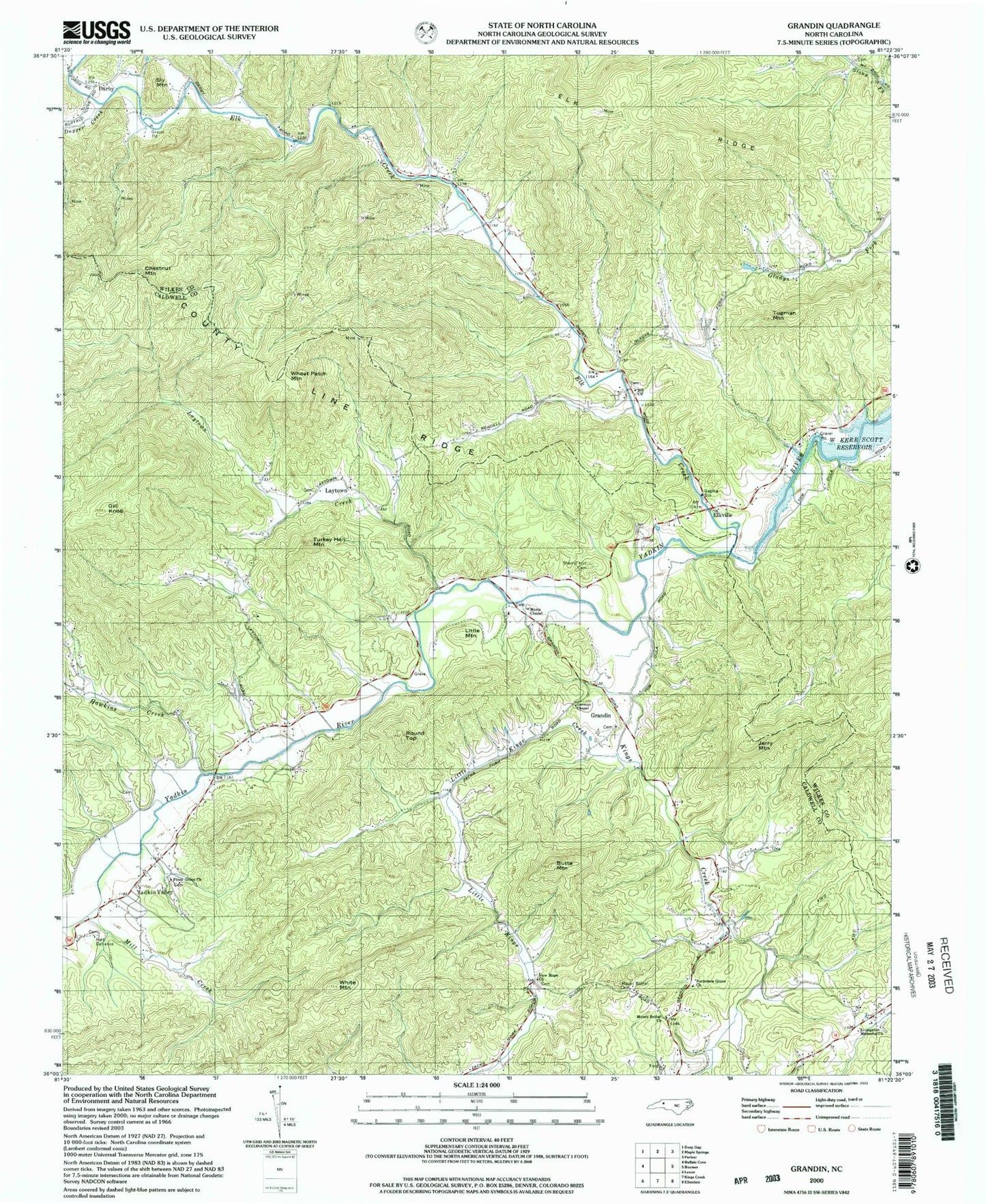
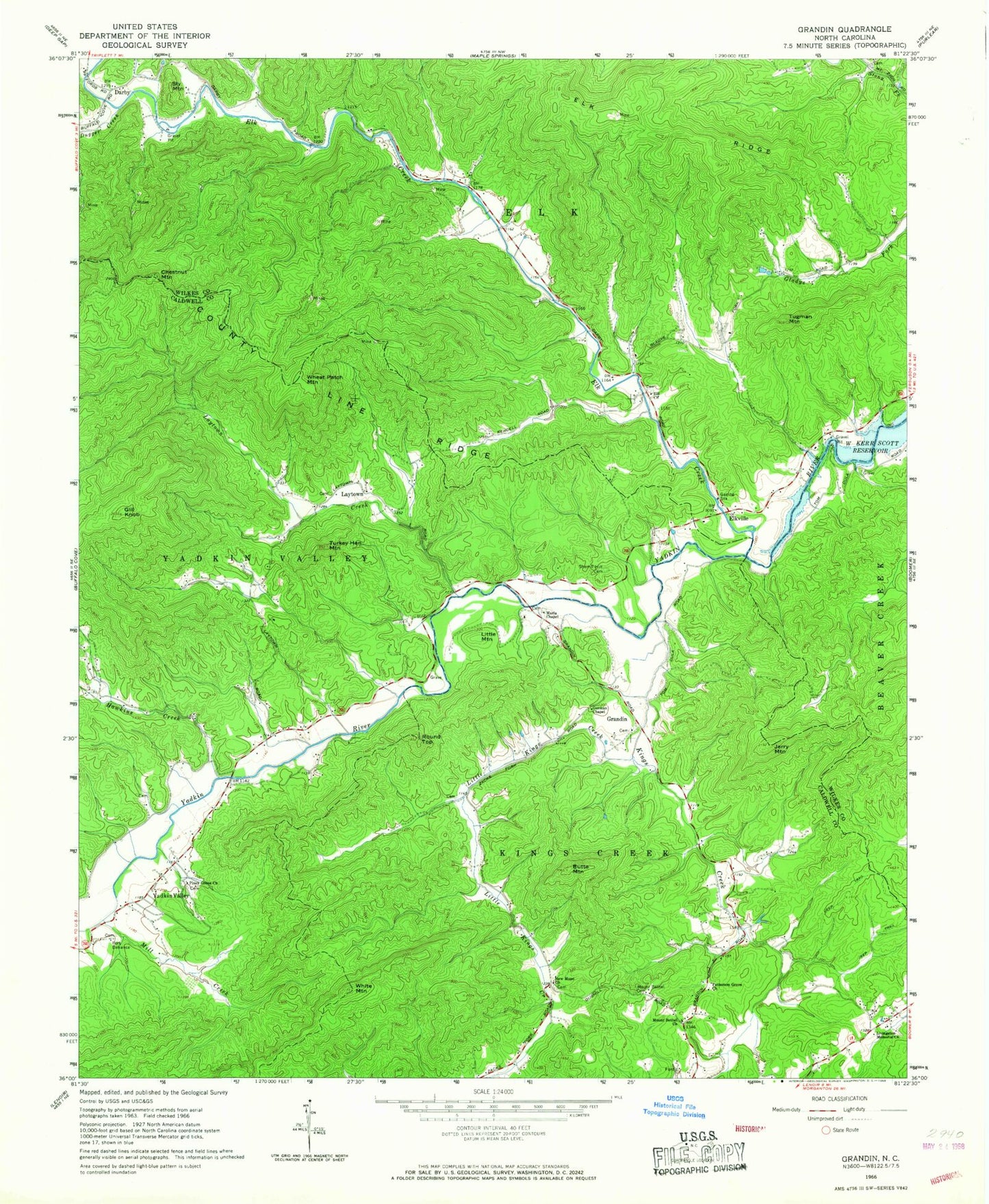
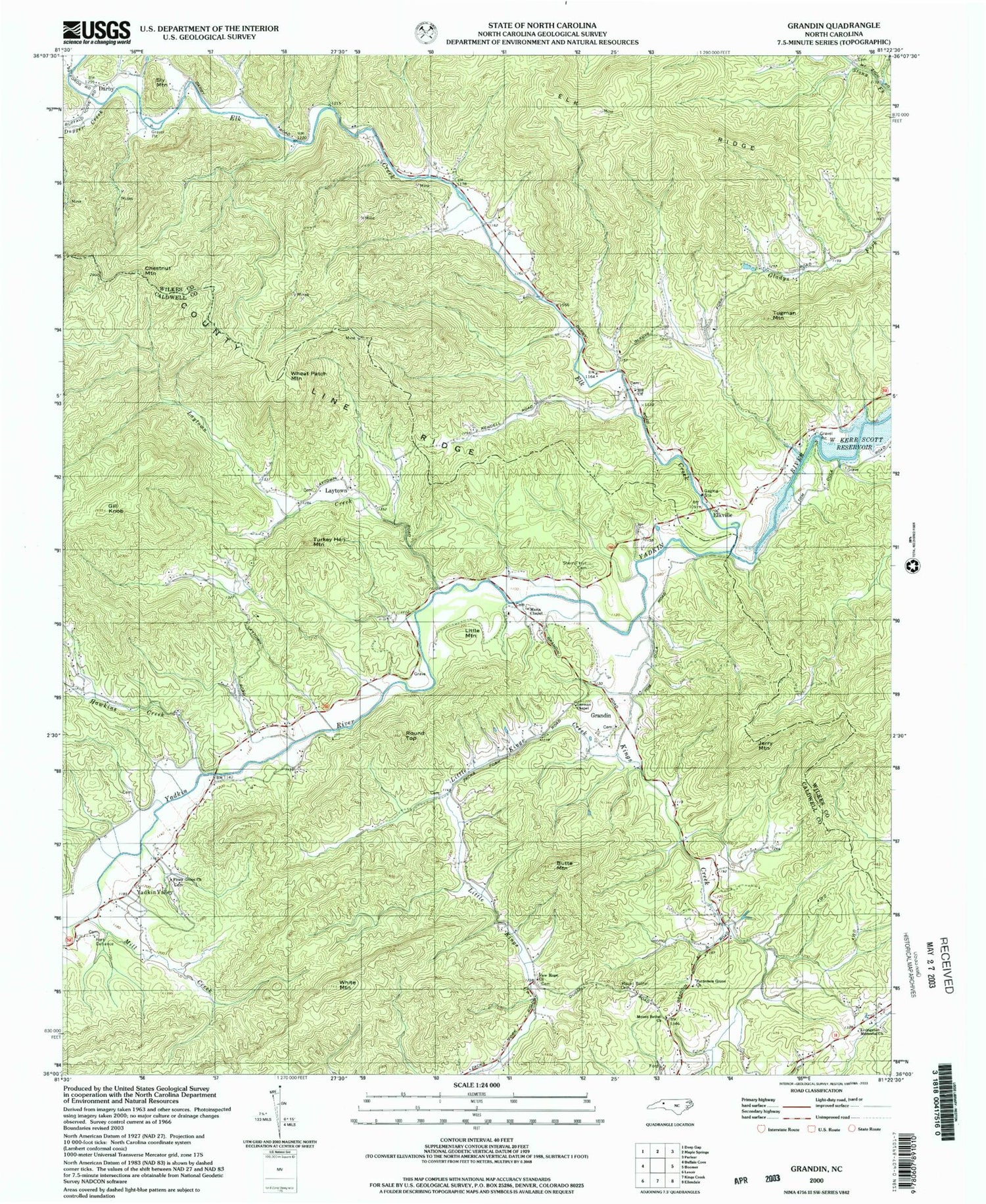
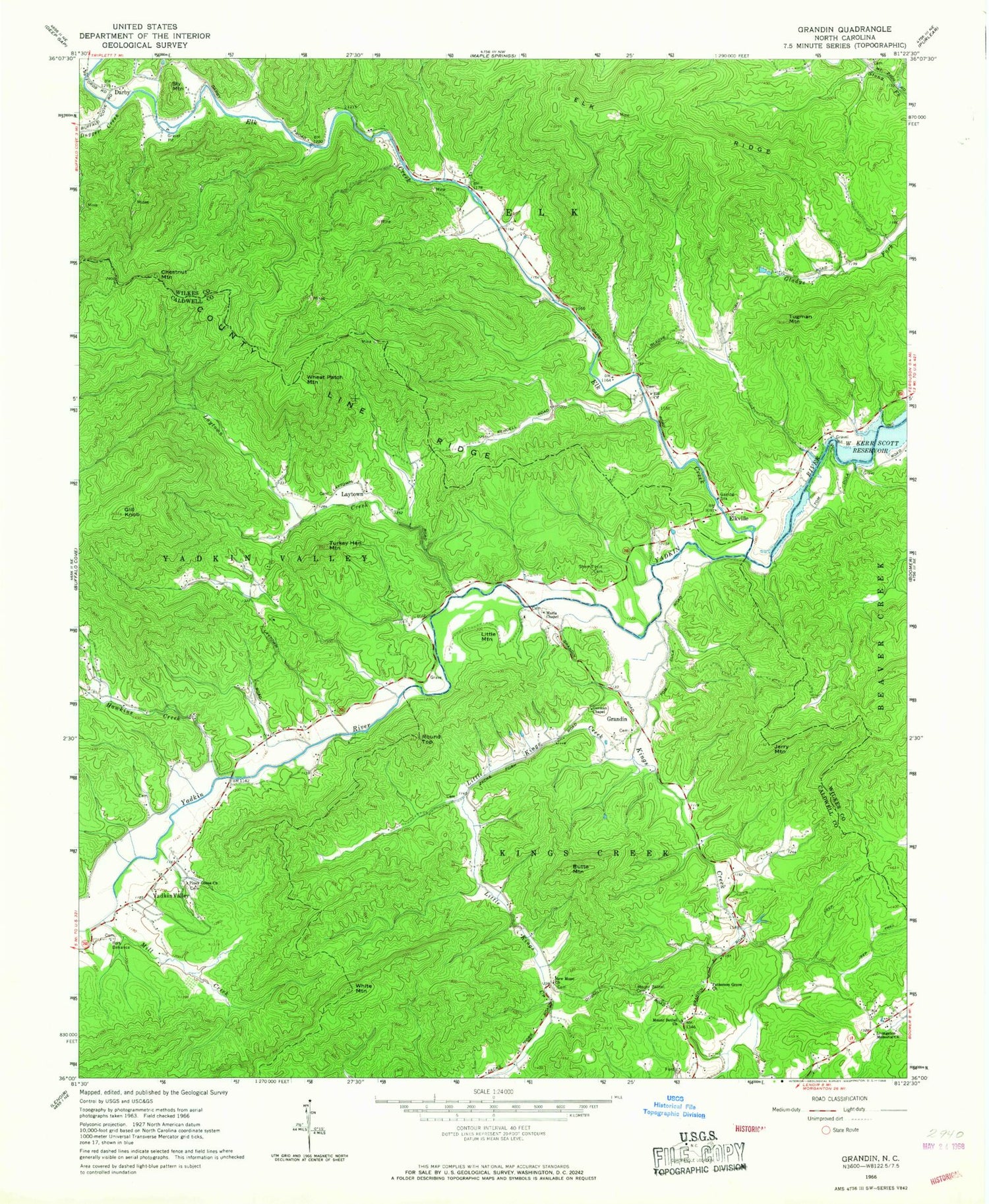
Historical USGS topographic quad map of Grandin in the state of North Carolina. Typical map scale is 1:24,000, but may vary for certain years, if available. Print size: 24" x 27"
This quadrangle is in the following counties: Caldwell, Wilkes.
The map contains contour lines, roads, rivers, towns, and lakes. Printed on high-quality waterproof paper with UV fade-resistant inks, and shipped rolled.
Contains the following named places: Blue Creek, Butte Mountain, County Line Ridge, Elk Church, Elk Creek, Elkville, German Chapel, Gill Knob, Jerry Mountain, Kings Creek, Little Kings Creek, Livingston Memorial Church, Maria Chapel, Mill Creek, Mount Bethel Cemetery, Mount Bethel Church, New Hope Church, Patterson Grove Church, Piney Grove Church, Round Top, Sherrill Hill Cemetery, Tugman Mountain, Turkey Hen Mountain, Wheat Patch Mountain, White Mountain, Yates Creek, Cilley (historical), Grandin Baptist Church, Lenoir (historical), Warrior Mountains, Darby, Hawkins Creek, Laytown Creek, Yadkin Valley, Chestnut Mountain, Dugger Creek, Fort Defiance, Grandin, Little Mountain, Sly Mountain, Township of Kings Creek, Township of Elk, Browns Mountain, Denny (historical), Denny Station (historical), Laurel Hills Church (historical), Rock Island Church (historical), Yadkin Valley Volunteer Fire Department


