MyTopo
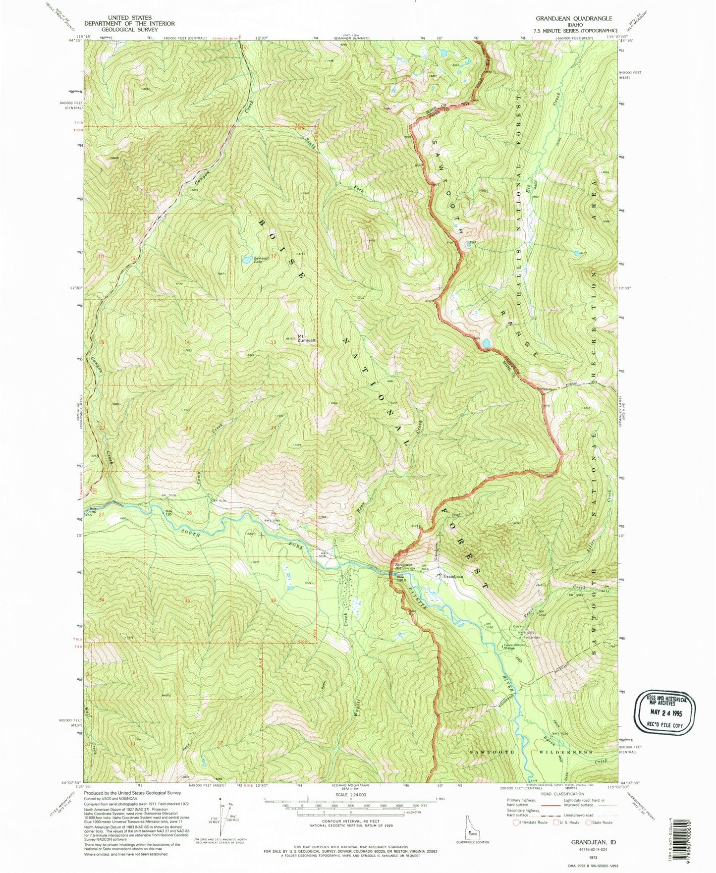
Classic USGS Grandjean Idaho 7.5'x7.5' Topo Map
Couldn't load pickup availability
Historical USGS topographic quad map of Grandjean in the states of Idaho, Utah. Typical map scale is 1:24,000, but may vary for certain years, if available. Print size: 24" x 27"
This quadrangle is in the following counties: Boise, Custer.
The map contains contour lines, roads, rivers, towns, and lakes. Printed on high-quality waterproof paper with UV fade-resistant inks, and shipped rolled.
Contains the following named places: Baron Creek, Canyon Creek, North Fork Canyon Creek, Wapiti Creek, Trail Creek, Silver Creek, Sawtooth Lodge, Grandjean Campground, Camp Creek Summer Home Area, Bear Creek Summer Home Area, Grandjean, Sacajawea Hot Springs, South Fork Canyon Creek, Grandjean Creek, Camp Creek, Mount Zumwalt, Bear Creek