MyTopo
Classic USGS Grandview Point Arizona 7.5'x7.5' Topo Map
Couldn't load pickup availability
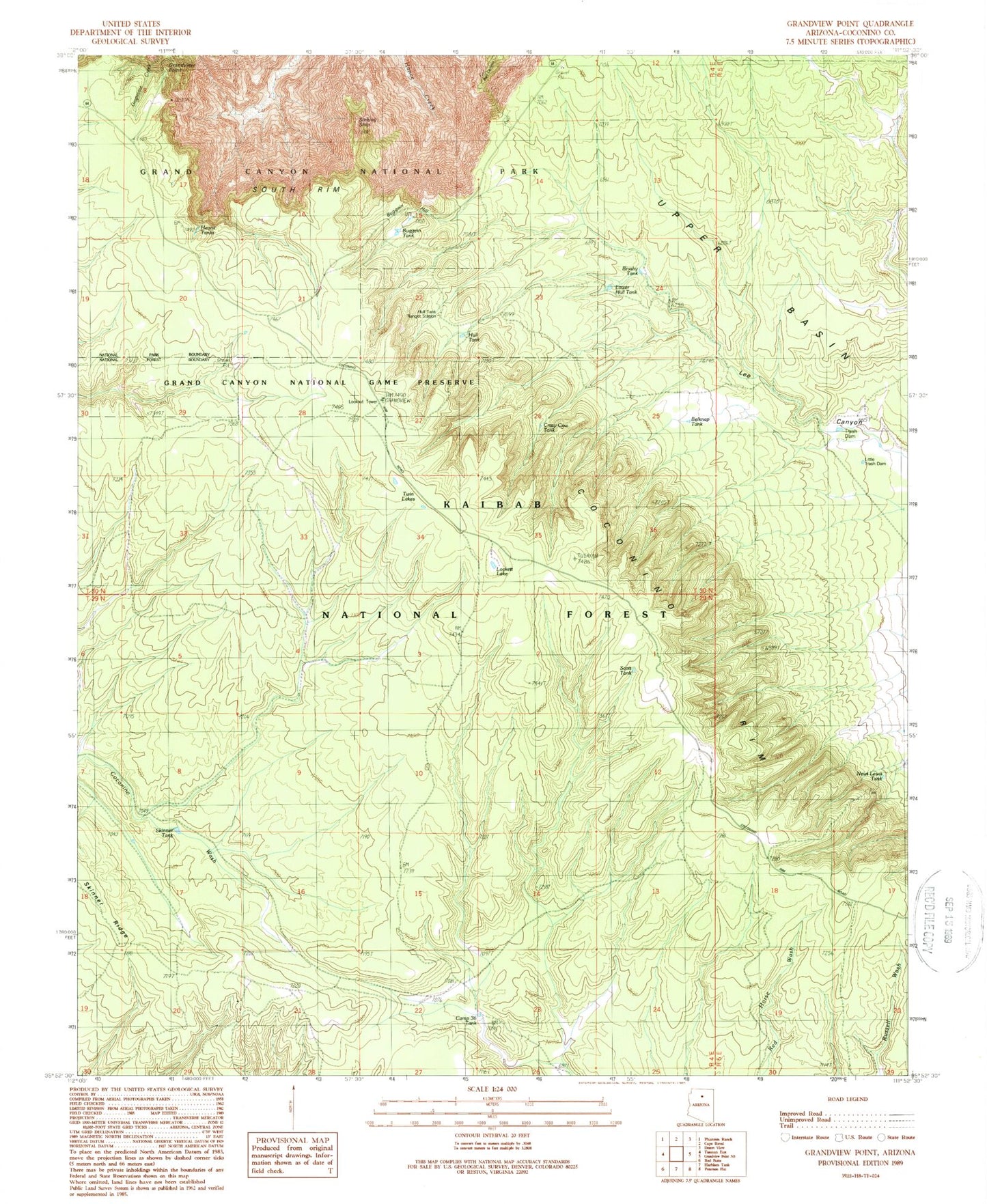
Historical USGS topographic quad map of Grandview Point in the state of Arizona. Typical map scale is 1:24,000, but may vary for certain years, if available. Print size: 24" x 27"
This quadrangle is in the following counties: Coconino.
The map contains contour lines, roads, rivers, towns, and lakes. Printed on high-quality waterproof paper with UV fade-resistant inks, and shipped rolled.
Contains the following named places: Belknap Tank, Buggeln Hill, Buggeln Tank, Camp Thirtysix Tank, Crazy Cow Tank, Grandview Lookout Tower, Grandview Point, Hearst Tanks, Hull Tank, Hull Tank Ranger Station, Lower Hull Tank, Little Trash Dam, Lockett Lake, Newt Lewis Tank, Scott Tank, Sinking Ship, Skinner Tank, South Rim, Trash Dam, Little Trash Dam Tank, Newt Lewis Tank, Skinner Pasture Tank, Twin Lakes, Brushy Tank, Tusayan Ranger District, Hull Cabin, Upper Lee Trick Tank, Arizona Trail, Skinner Trick Tank