MyTopo
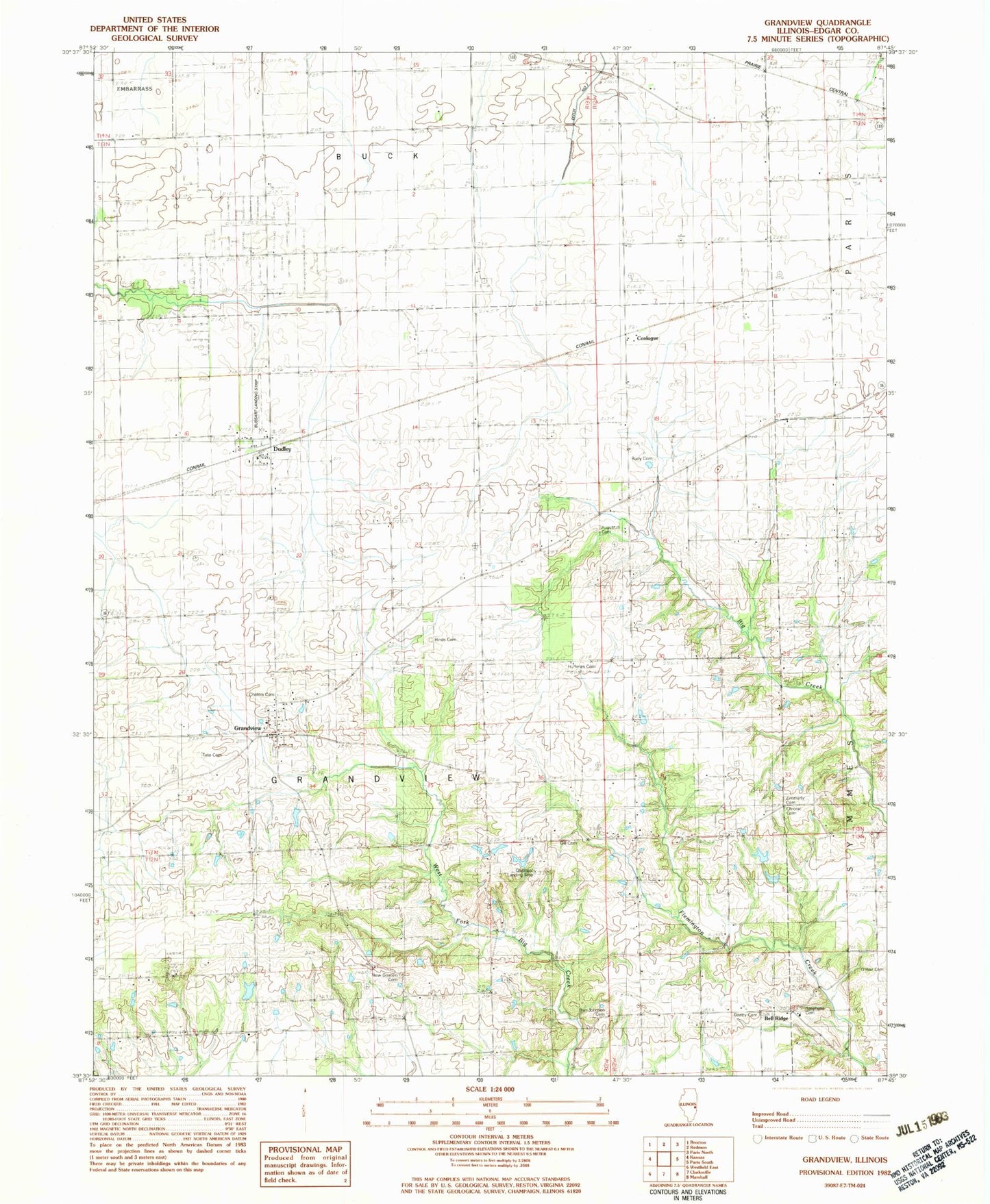
Classic USGS Grandview Illinois 7.5'x7.5' Topo Map
Couldn't load pickup availability
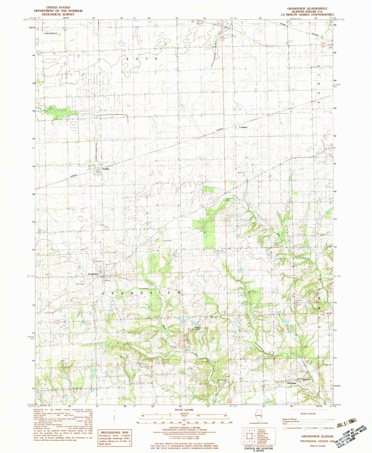
Historical USGS topographic quad map of Grandview in the state of Illinois. Map scale may vary for some years, but is generally around 1:24,000. Print size is approximately 24" x 27"
This quadrangle is in the following counties: Edgar.
The map contains contour lines, roads, rivers, towns, and lakes. Printed on high-quality waterproof paper with UV fade-resistant inks, and shipped rolled.
Contains the following named places: Asher School, Augustus Cemetery, Barr Johnson Cemetery, Beatty Cemetery, Bell Ridge, Bell Ridge Church, Bell Ridge School, Brinkerhoff School, Buchanan School, Bussart Airport, Cherry Grove, Cholera Cemetery, Chronic Cemetery, Conlogue, Conlogue School, Cross Roads School, Dudley, Fairview School, Gill Cemetery, Glatthaar Airport, Grandview, Grandview Cemetery, Grandview Fire Department, Hinds Cemetery, Huffman Cemetery, New Goshen Cemetery, New Goshen School, O'Hair Cemetery, Rudy Cemetery, Stephens Cemetery, Tate Cemetery, Township of Grandview, Waller School, Zimmerly Cemetery


