MyTopo
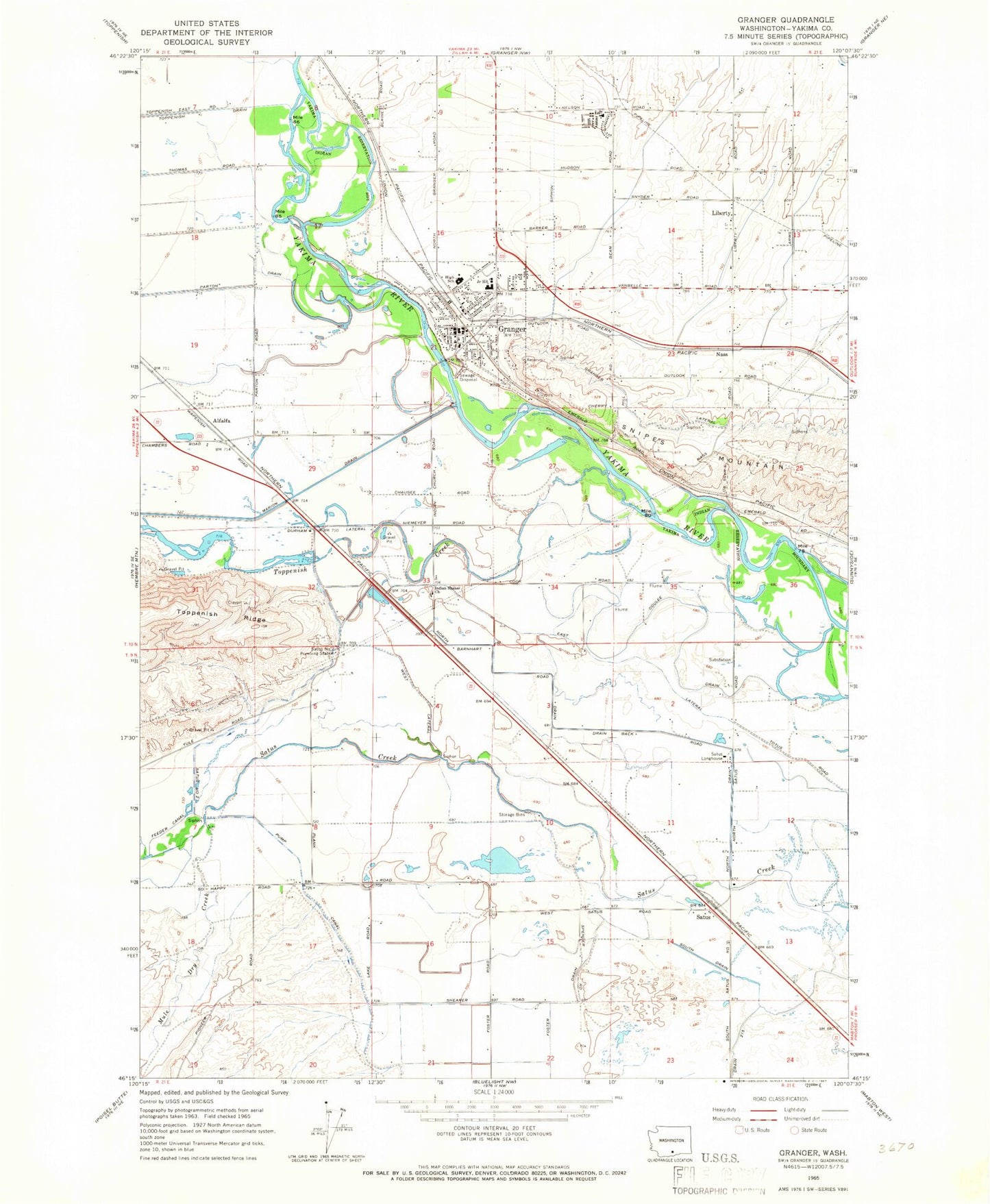
Classic USGS Granger Washington 7.5'x7.5' Topo Map
Couldn't load pickup availability
Historical USGS topographic quad map of Granger in the state of Washington. Map scale may vary for some years, but is generally around 1:24,000. Print size is approximately 24" x 27"
This quadrangle is in the following counties: Yakima.
The map contains contour lines, roads, rivers, towns, and lakes. Printed on high-quality waterproof paper with UV fade-resistant inks, and shipped rolled.
Contains the following named places: Alfalfa, City of Granger, Coulee Drain, Crewport, Durham Lateral, East Lateral, Foster Drain, Granger, Granger Drain, Granger Farm Labor Camp, Granger High School, Granger Post Office, Hisey Park, Indian Shaker Church, Liberty, Mule Dry Creek, Nass, North Barnhart Road Draw, North Drain, Parton Drain, Roosevelt Grade School, Satus, Satus Longhouse, Satus Number 2 Pumping Station, South Drain, Toppenish Creek, Yakima County Fire District 5 Station 11 Granger, Yakima County Fire District 5 Station 16 Satus, ZIP Code: 98932