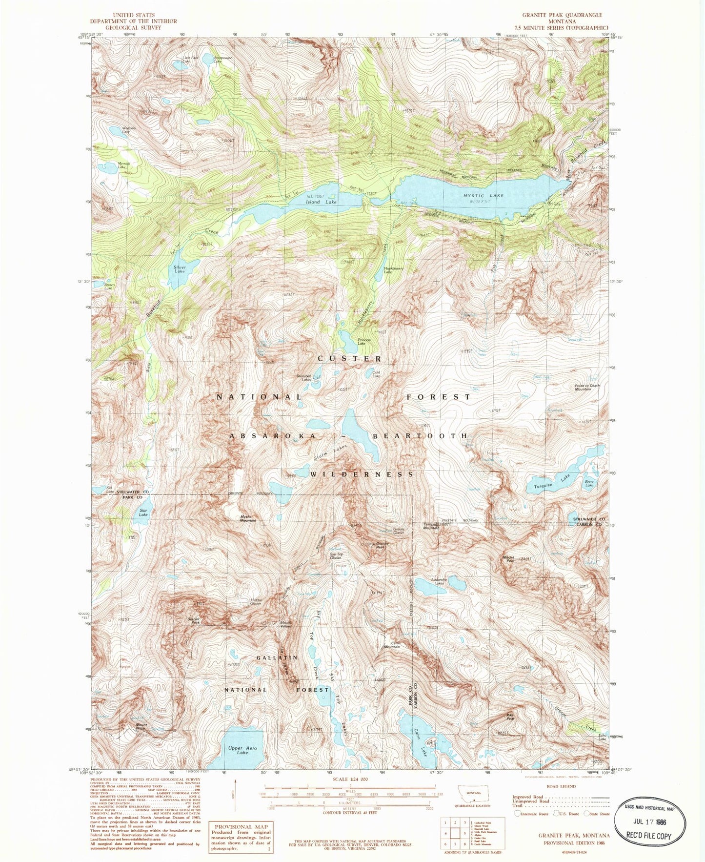
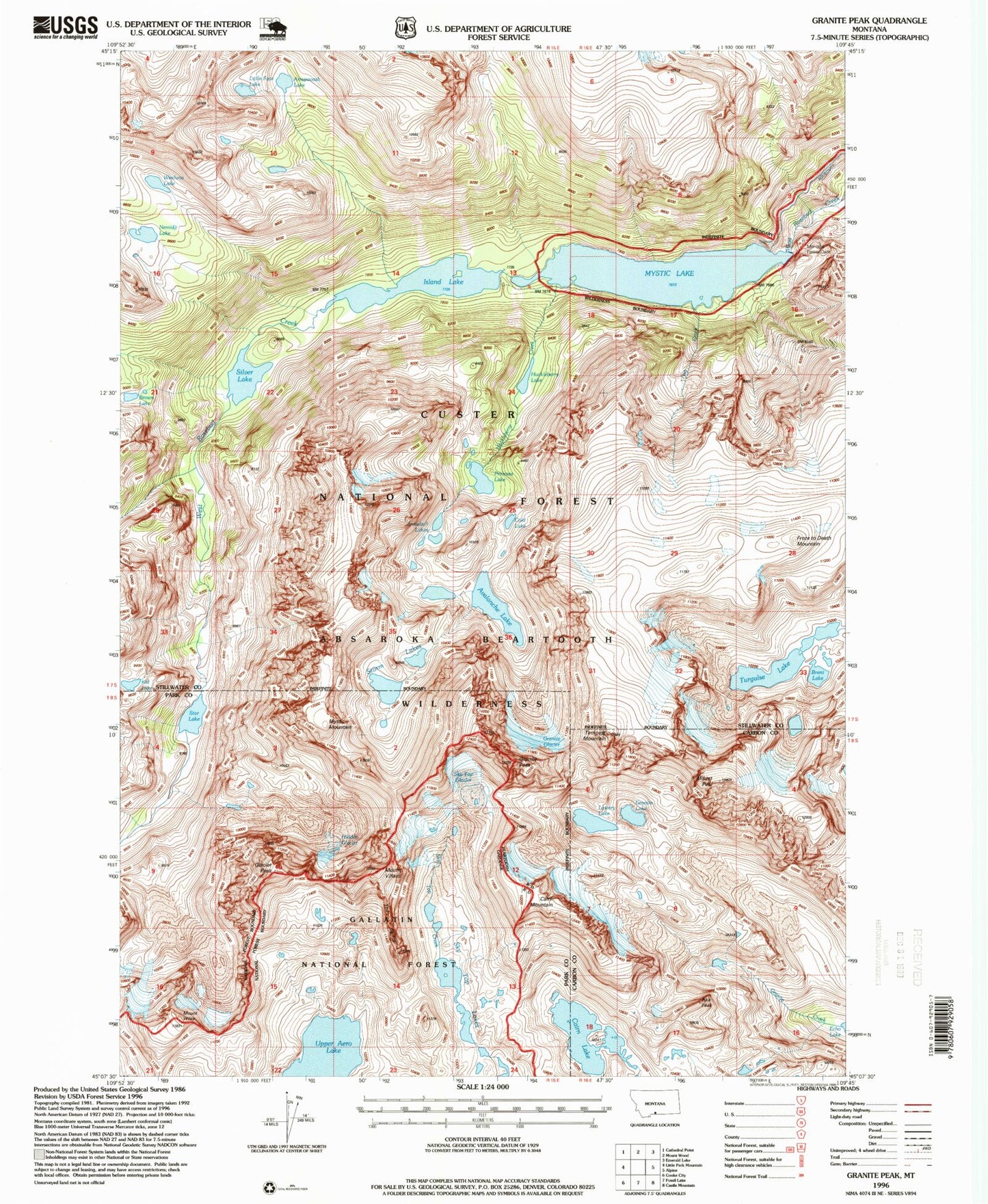
MyTopo
USGS Classic Granite Peak Montana 7.5'x7.5' Topo Map
Couldn't load pickup availability
Historical USGS topographic quad map of Granite Peak in the state of Montana. Scale: 1:24000. Print size: 24" x 27"
This quadrangle is in the following counties: Carbon, Park, Stillwater.
The map contains contour lines, roads, rivers, towns, lakes, and grids including latitude / longitude and UTM / MGRS. Printed on high-quality waterproof paper with UV fade-resistant inks.
Contains the following named places: Cairn Lake, Fish Creek, Froze-to-Death Mountain, Glacier Peak, Granite Glacier, Granite Peak, Hidden Glacier, Huckleberry Creek, Island Lake, Mystic Lake, Mystic Mountain, Mount Peal, Silver Lake, Sky Top Glacier, Sky Top Lakes, Tempest Mountain, Lake Turgulse, Upper Aero Lake, Mount Villard, Mount Wilse, Avalanche Lake, Lowary Lake, Granite Lake, Montana Power Dam, Mystic Lake Dam, Pika Peak, Cairn Mountain, Brent Lake, Storm Lakes, Kid Lake, Cold Lake, Snowball Lakes, Princess Lake, Brown Lake, Memidgi Lake, Arapooash Lake, Weeluna Lake, Little Face Lake, 08S56E14BAAA01 Well, Huckleberry Lake, Star Lake