MyTopo
Classic USGS Graniteville California 7.5'x7.5' Topo Map
Couldn't load pickup availability
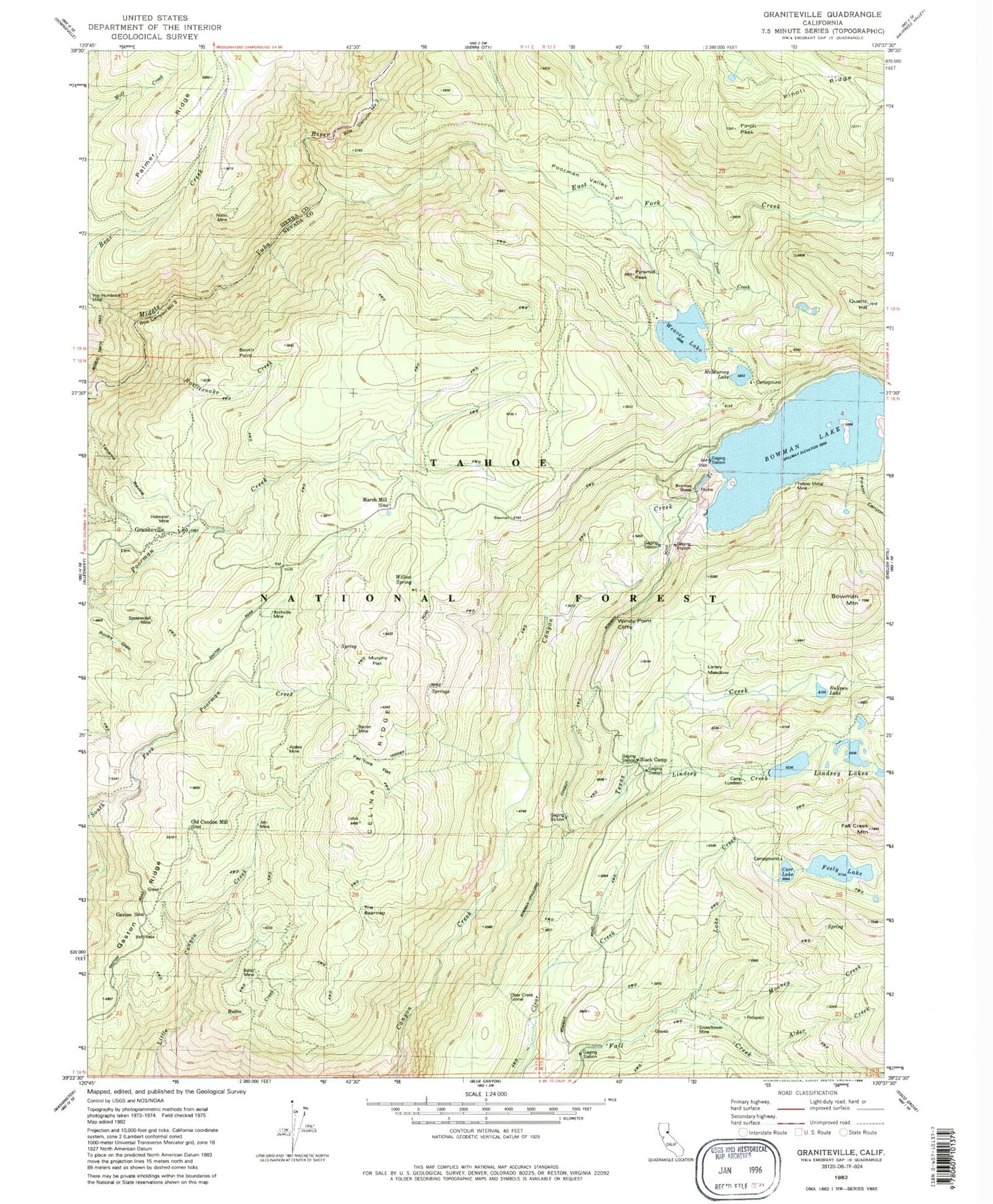
Historical USGS topographic quad map of Graniteville in the state of California. Typical map scale is 1:24,000, but may vary for certain years, if available. Print size: 24" x 27"
This quadrangle is in the following counties: Nevada, Sierra.
The map contains contour lines, roads, rivers, towns, and lakes. Printed on high-quality waterproof paper with UV fade-resistant inks, and shipped rolled.
Contains the following named places: Von Humboldt Mine, Alder Creek, Alpha Mine, Anderson Mine, Azalea Mine, Baltic Creek, Baltic Mine, Barren Mine, Bear Creek, Birchville Mine, Black Camp, Booth Point, Bowman House, Bowman Lake, Bowman Mountain, Box Canyon Number Two, Box Canyon Number Three, Bullpen Lake, Carr Lake, Celina Flat Mine, Celina Ridge, Clear Creek Tunnel, East Fork Creek, Fall Creek Mountain, Feeley Lake, Gaston, Gaston Ridge, Hotwater Mine, Jim Mine, Lake Creek, Lindsey Creek, Loney Meadow, Mary Jane Mine, McMurray Lake, Money Creek, Murphy Flat, Nixon Mine, Old Condon Mill, Pat Yore Flat, Pinoli Peak, Poison Canyon, Poorman Valley, Pyramid Peak, Rattlesnake Creek, Rattlesnake Mine, Lindsey Lakes, Snowflower Mine, Spotswood Mine, Texas Creek, Toms Creek, Weaver Lake, Willow Spring, Windy Point Cliffs, Yellow Metal Mine, Weaver lake Campground, McMurray Campground, Bowman Tunnel, Carr-Feeley Campground, Lindsey Campground, Canyon Creek Trail, Round Lake Trail, Palmer Ridge, Bowman Mountain Trail, Graniteville, Marsh Mill, The Beartrap, Bowman Rockfill 61-002 Dam, Lower Feeley Lake 97-035 Dam, Lower Lindsey 97-036 Dam, Mid Lindsey Lake 97-041 Dam, Upper Feeley Lake 97-045 Dam, Weaver Dam, Camp Lundeen, Graniteville Volunteer Fire Company, Graniteville Census Designated Place, Graniteville Cemetery


