MyTopo
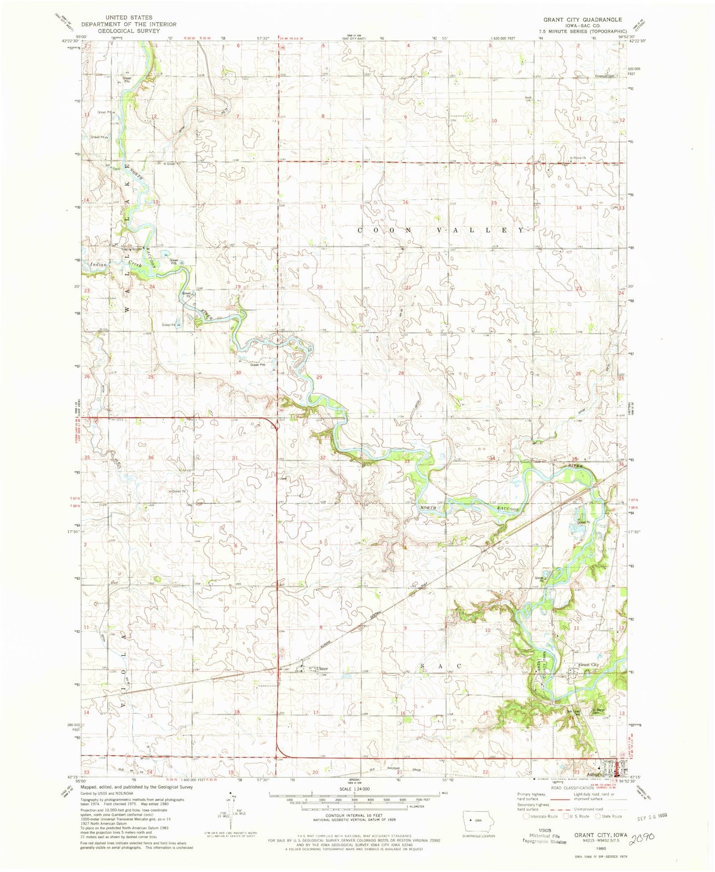
Classic USGS Grant City Iowa 7.5'x7.5' Topo Map
Couldn't load pickup availability
Historical USGS topographic quad map of Grant City in the state of Iowa. Map scale may vary for some years, but is generally around 1:24,000. Print size is approximately 24" x 27"
This quadrangle is in the following counties: Sac.
The map contains contour lines, roads, rivers, towns, and lakes. Printed on high-quality waterproof paper with UV fade-resistant inks, and shipped rolled.
Contains the following named places: Almer Noyd Wildlife Area, Auburn, Auburn City Hall, Auburn Community Building, Auburn Police Department, Auburn Public Library, Coon Valley Post Office, Drainage Ditch 25, Drainage Ditch 31, Drainage Ditch 57, Drainage Ditch 73, Fletcher, Grant City, Grant City Cemetery, Grant City Post Office, Grant County Park, Hart, Indian Creek, Jana Recreation Area, Lutheran Emanuel Cemetery, Oak Lawn Cemetery, Pettis, Pettis Post Office, Presbyterian Church, Saint Marys Cemetery, Saint Peters Lutheran Cemetery, Saint Peters Lutheran Church, Township of Coon Valley, Township of Sac, Ulmer, Ulmer Post Office, Whitehorse Access, Whitehorse Access Public Hunting Area, Zion Lutheran Church, ZIP Code: 51433