MyTopo
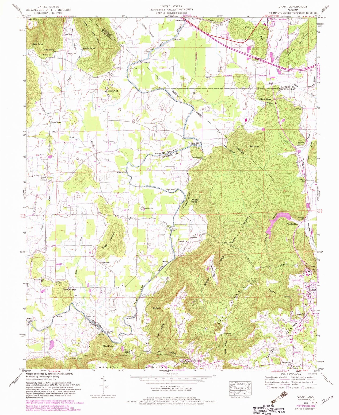
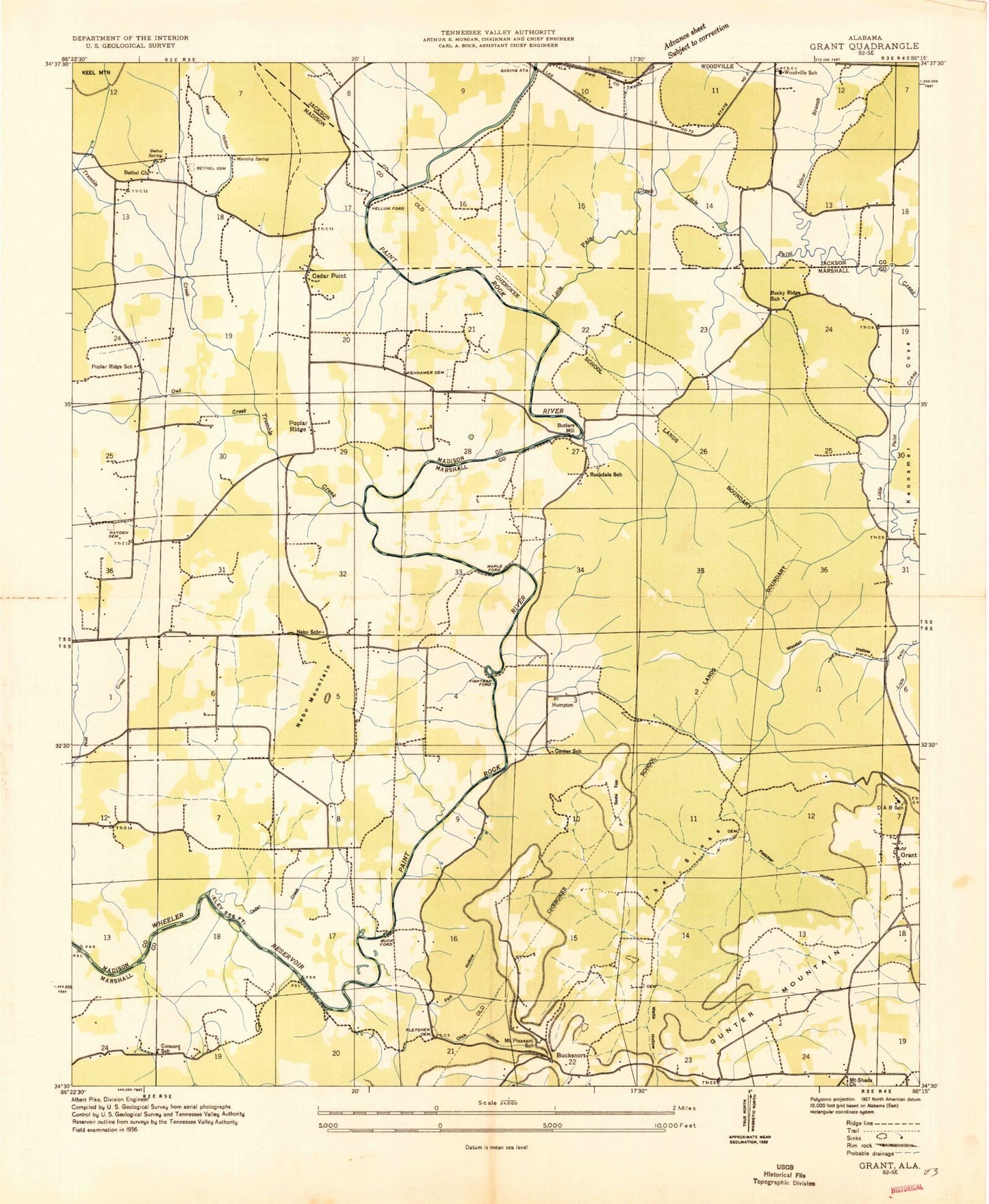
Classic USGS Grant Alabama 7.5'x7.5' Topo Map
Couldn't load pickup availability
Historical USGS topographic quad map of Grant in the state of Alabama. Map scale may vary for some years, but is generally around 1:24,000. Print size is approximately 24" x 27"
This quadrangle is in the following counties: Jackson, Madison, Marshall.
The map contains contour lines, roads, rivers, towns, and lakes. Printed on high-quality waterproof paper with UV fade-resistant inks, and shipped rolled.
Contains the following named places: Ashburn Cemetery, Bethel Cemetery, Bethel Church, Bethel Spring, Big Rock, Buck Ford, Bucksnort, Butler Mill, Butler Spring, Cedar Creek, Cedar Point, Cedar Point Church, Center Church, Click Cemetery, Click Hollow, Creek Ford, D A R School, Davis Spring, Evans Mountain, Fishtrap Ford, Fletcher Hollow, Fort Hollow, Grant, Grant Church, Grant Fire and Rescue, Grant Police Department, Grant Post Office, Greasy Hollow, Harris Spring, Hawkins Mountain, Hayden Cemetery, Hellum Ford, Hill Chapel, Humpton, Humpton Cemetery, Keel, Keel Cemetery, Keel Hollow, Keel Mountain, Kennamer Cemetery, Kennemer School, Kirkland Cemetery, Little Paint Creek, Little Paint Creek Lake Dam, Manning Spring, Maple Ford, Mount Pleasant Church, Mount Pleasant School, Mount Shade Church, Nan Roberts Lane Chapel Church, Nebo, Nebo Church, Nebo Mountain, Old Center, Owl Creek, Parkell Creek, Poplar Ridge, Poplar Ridge School, Rich Top, Rockdale Church, Rockdale School, Rocky Ridge, Rocky Ridge School, Sheepneck Branch, Shin Point, Soda Top, Stapler Ford, Stillhouse Branch, The Sinks, Tick Ridge, Town of Grant, Tremble Creek, Watts Hollow, Whittaker Cemetery, Whittaker Narrows, Woodall Hollow, Woodall Place, Woodland Lake, Woodville High School, Wright Point, Yellow Branch