MyTopo
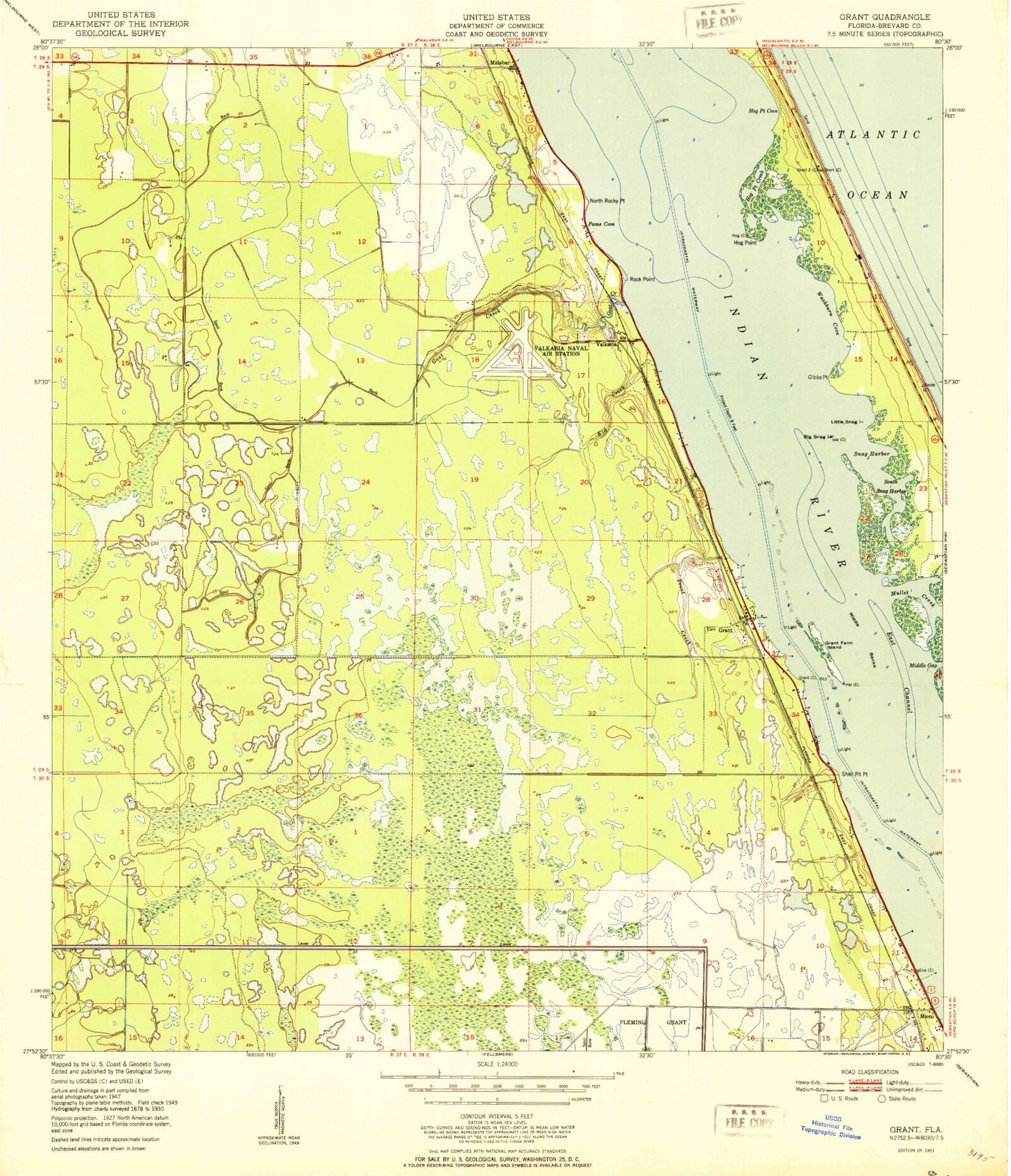
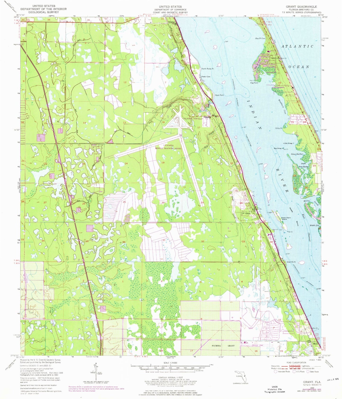
Classic USGS Grant Florida 7.5'x7.5' Topo Map
Couldn't load pickup availability
Historical USGS topographic quad map of Grant in the state of Florida. Map scale may vary for some years, but is generally around 1:24,000. Print size is approximately 24" x 27"
This quadrangle is in the following counties: Brevard.
The map contains contour lines, roads, rivers, towns, and lakes. Printed on high-quality waterproof paper with UV fade-resistant inks, and shipped rolled.
Contains the following named places: Barefoot Bay Wastewater Treatment Plant, Big Snag, Brevard County Fire Rescue Station 86, Brevard County Fire Rescue Station 87, Brevard County Public Library System South Mainland Branch Library, Brevard County Sheriff's Office South Precinct Substation, Calvary Baptist Church, Church of God of Prophecy, East Channel, First Baptist Church of Barefoot Bay, First Baptist Church of Malabar, Fountainhead Memorial Park Cemetery, Four Lakes Golf Club, Gibbs Point, Goat Creek, Grange Island, Grant, Grant Community Center, Grant Farm Island, Grant Fire Department Station 85 (closed), Grant Historical House, Grant Post Office, Grant-Valkaria, Hog Point, Hog Point Cove, Indian River Shores Trailer Court, Kid Creek, Little Snag, Malabar Division, Malabar Fire Department, Malabar Post Office, Melbourne Shores, Micco, Middle Banks, Middle Gap, North Rocky Point, Pams Cove, Parrish Brothers Private Airport, Rock Point, Saint Lukes Catholic Church, Shell Pit Point, Snag Harbor, South Babcock Street Baptist Church, South Brevard Seventh Day Adventist Church, South Mainland Library Micco Branch, South Snag Harbor, Southern Comfort Mobile Home Park, The Forest Country Club, Town of Grant-Valkaria, Town of Malabar, Trout Creek, Valkaria, Valkaria Airport, Valkaria Lake, Washburn Cove, ZIP Codes: 32949, 32950, 32951


