MyTopo
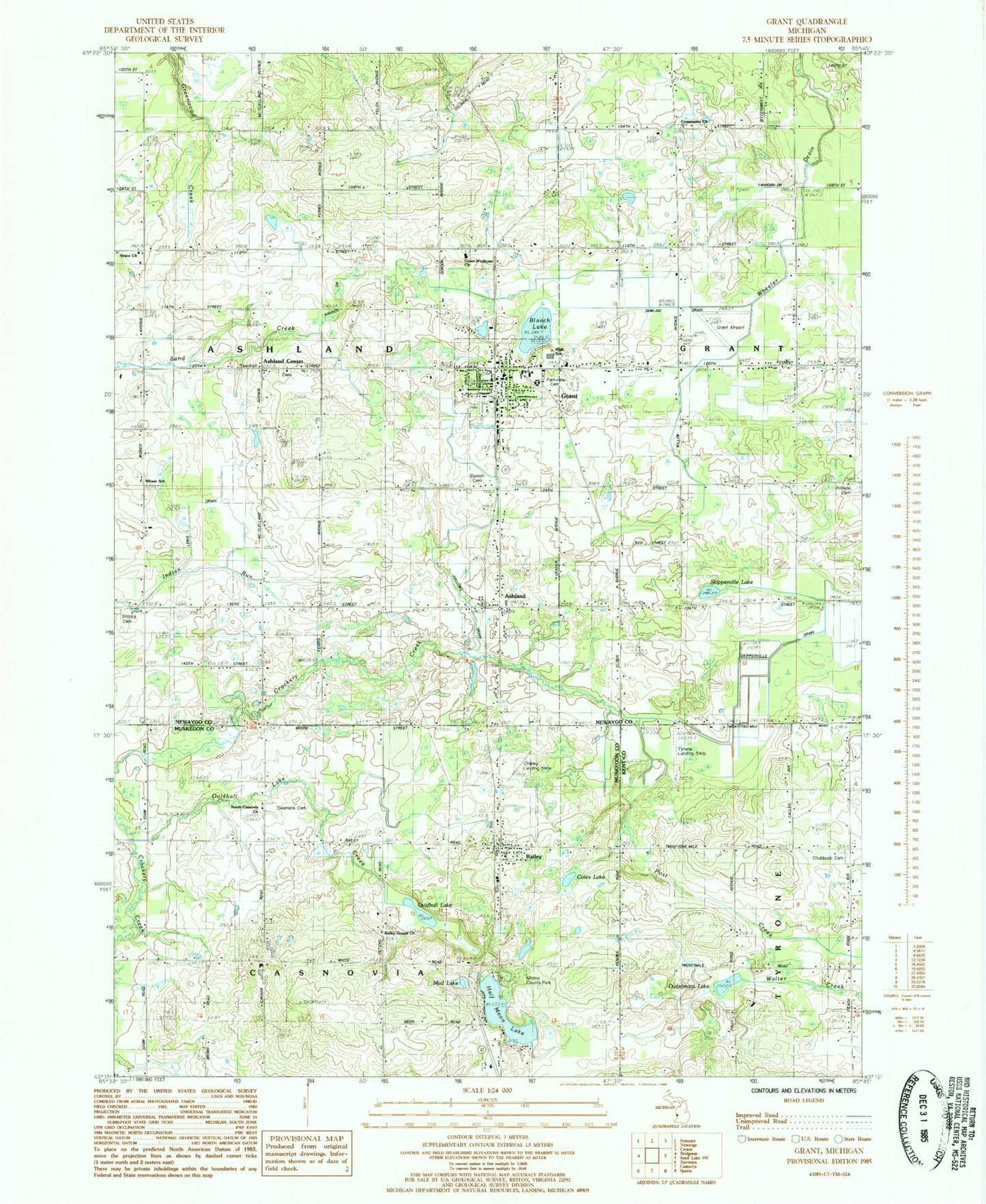
Classic USGS Grant Michigan 7.5'x7.5' Topo Map
Couldn't load pickup availability
Historical USGS topographic quad map of Grant in the state of Michigan. Map scale may vary for some years, but is generally around 1:24,000. Print size is approximately 24" x 27"
This quadrangle is in the following counties: Kent, Muskegon, Newaygo.
The map contains contour lines, roads, rivers, towns, and lakes. Printed on high-quality waterproof paper with UV fade-resistant inks, and shipped rolled.
Contains the following named places: Applegarth School, Ashland, Ashland - Grant Volunteer Fire District, Ashland Cemetery, Ashland Center, Ashland Center Church of Christ, Ashland Post Office, Ashland Station, Bailey, Bailey Church of Christ, Bailey Gospel Church, Bailey Post Office, Bailey Station, Blanch Lake, Brooks Post Office, Casnovia Township Fire Department, Chaney Landing Strip, Chubbuck Cemetery, Chubbuck School, City of Grant, Coles Lake, Community Church, Danish Cemetery, Danish Church, Duitelmans Lake, Family Health Care Clinic, Grant, Grant Airport, Grant Assembly of God Church, Grant Elementary School, Grant High School, Grant Medical Center, Grant Middle School, Grant Police Department, Grant Post Office, Grant Public Library, Grant Reformed Church, Grant Station, Grant United Church of Christ, Grant Wesleyan Church, Half Moon Lake, Half Moon School, Hansen Drain, Harvest Baptist Church, Hillside Cemetery, Lake Post Office, Lambson School, Life Emergency Medical Station Grant Station, Moon Post Office, Moore County Park, Mud Lake, North Casnovia Baptist Church, North Casnovia School, Northland Church of Christ, Ovidhall Lake, Ovidhall Lake Creek, Parkview Cemetery, Patterson School, Pleasant Valley School, Post Creek, Salem School, Seaman Cemetery, Shippy Cemetery, Skipperville Drain, Skipperville Lake, Township of Ashland, Tyrone Airport, Wheat School, Wheeler Drain, Windealt School, ZIP Codes: 49303, 49327


