MyTopo
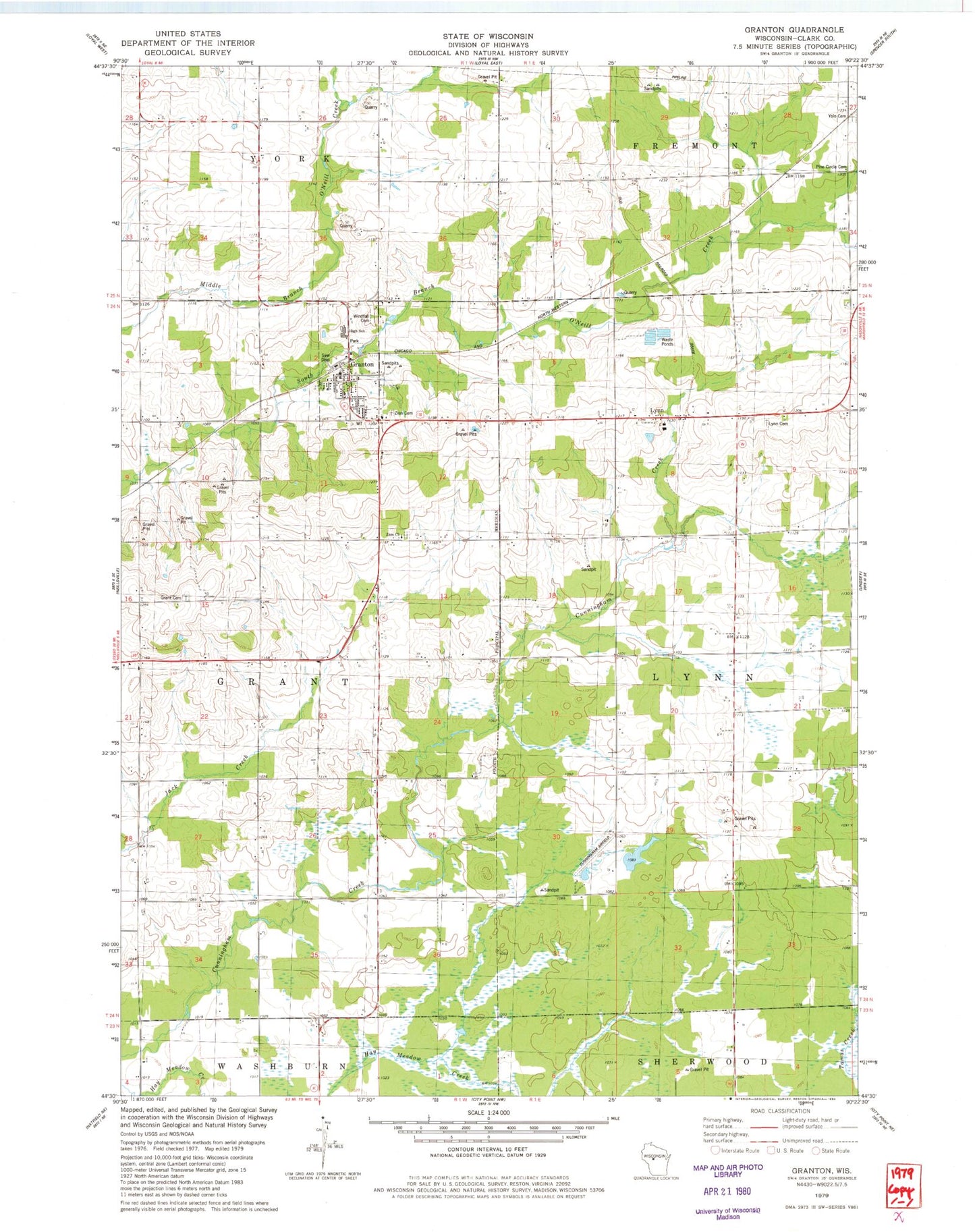
Classic USGS Granton Wisconsin 7.5'x7.5' Topo Map
Couldn't load pickup availability
Historical USGS topographic quad map of Granton in the state of Wisconsin. Map scale may vary for some years, but is generally around 1:24,000. Print size is approximately 24" x 27"
This quadrangle is in the following counties: Clark.
The map contains contour lines, roads, rivers, towns, and lakes. Printed on high-quality waterproof paper with UV fade-resistant inks, and shipped rolled.
Contains the following named places: 0.8 Reservoir, 54436, Cunningham Airport, Cunningham School, Franklin School, Granton, Granton Elementary School, Granton Middle and High School, Granton Post Office, Granton Volunteer Fire Department, Hillside School, Immanuel United Methodist Church Cemetery, Kurth, Kurth School, Loretta Smith H1097 Dam, Lynn, Lynn Cemetery, Mayflower School, Merryvale School, Pine Circle School, Poplar Grove School, Roder School, Sunbeam School, Town of Grant, Town of Lynn, Village of Granton, Wild Rose School, Windfall Cemetery, Yolo Cemetery, Zion Cemetery, Zion School