MyTopo
Classic USGS Grantsburg Wisconsin 7.5'x7.5' Topo Map
Couldn't load pickup availability
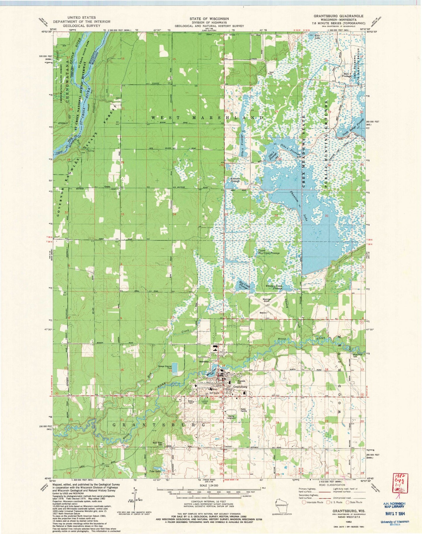
Historical USGS topographic quad map of Grantsburg in the states of Wisconsin, Minnesota. Map scale may vary for some years, but is generally around 1:24,000. Print size is approximately 24" x 27"
This quadrangle is in the following counties: Burnett, Pine.
The map contains contour lines, roads, rivers, towns, and lakes. Printed on high-quality waterproof paper with UV fade-resistant inks, and shipped rolled.
Contains the following named places: Brant Brook Pines State Natural Area, Burnett County Fairground, Burnett General Hospital Heliport, Burnett Medical Center, Central United Methodist Church, Crex Meadows Dike 6 Dam, Crex Meadows Dike 9 Flowage Dam, Crex Meadows Phantom Lake Development Dam, Dike 2 Flowage, Dike 4 Flowage, Dike 5 Flowage, Dike 6 Flowage, East Brook, Erickson Flowage, Faith Lutheran Church, Grace Baptist Church, Grantsburg, Grantsburg Clinic, Grantsburg Elementary School, Grantsburg High School, Grantsburg Middle School, Grantsburg Municipal Airport, Grantsburg Police Department, Grantsburg Post Office, Grantsburg Public Library, Grantsburg Senior Citizens Center, Grantsburg Townhall, Grantsburg Virtual School, Grantsburg Volunteer Fire Department, Hay Creek, Hay Creek Flowage, Hickerson 1895C98 Dam, Immaculate Conception Catholic Church, Insight School of Wisconsin, Kettle River, Memory Lake 152, Memory Lake Park, Peterson Bellach Group Dam, Phantom Lake, Rice Lake, Riverside Cemetery, Tobe Lake, Town of Grantsburg, Town of West Marshland, Upper Hay Creek Flowage, Village of Grantsburg, Whiskey Creek Flowage, Wood River Cemetery, Wood River Church, ZIP Code: 54840


