MyTopo
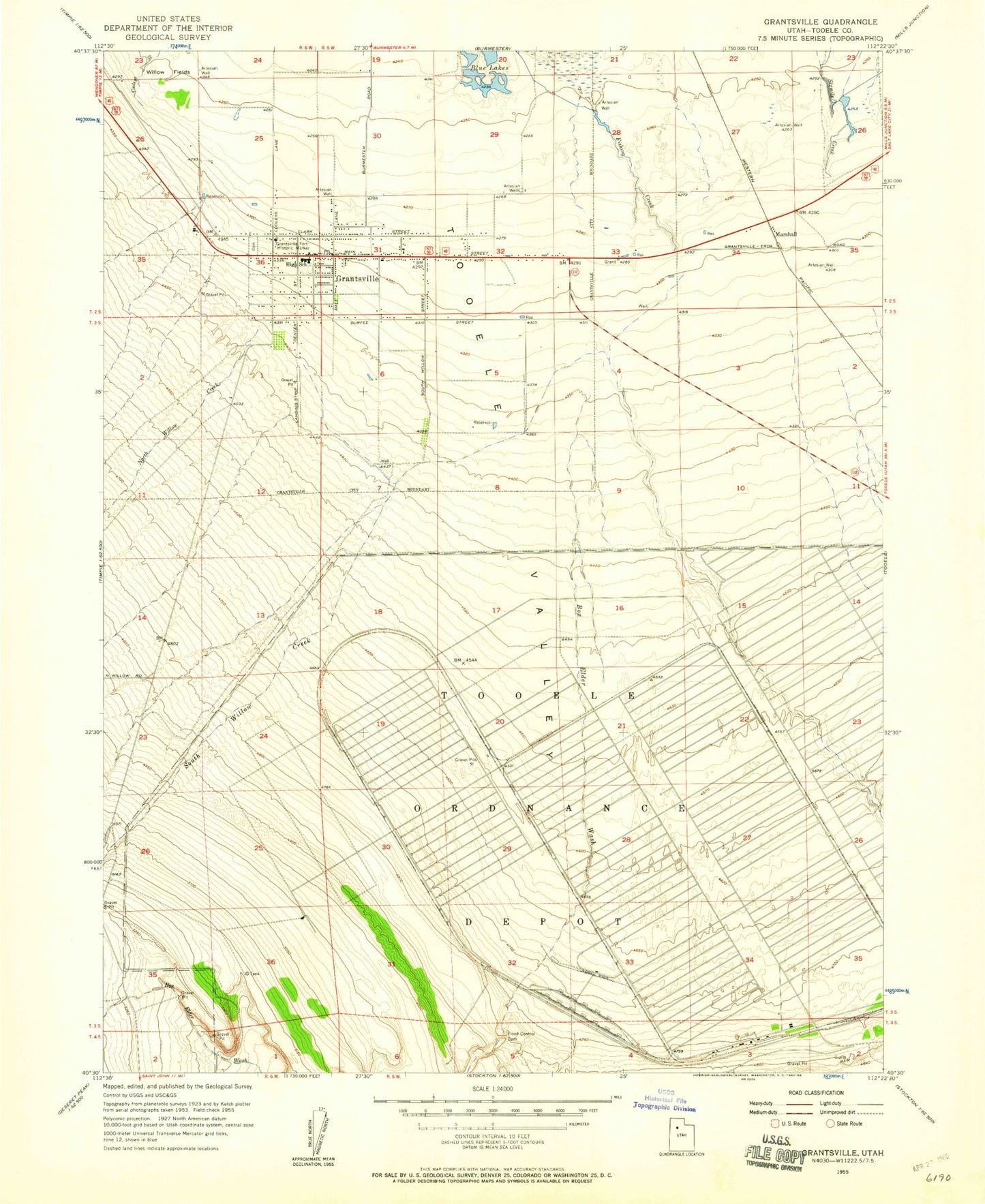
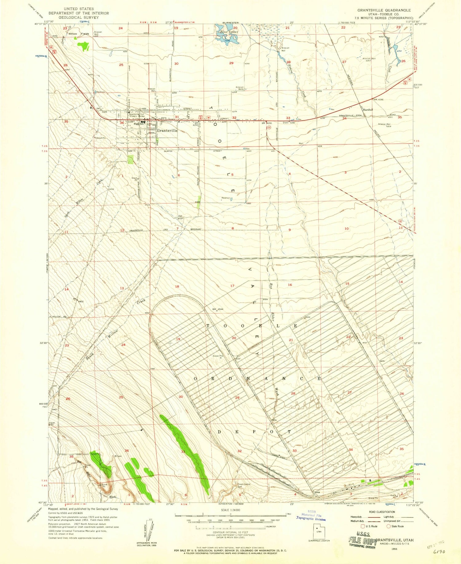
Classic USGS Grantsville Utah 7.5'x7.5' Topo Map
Couldn't load pickup availability
Historical USGS topographic quad map of Grantsville in the state of Utah. Map scale may vary for some years, but is generally around 1:24,000. Print size is approximately 24" x 27"
This quadrangle is in the following counties: Tooele.
The map contains contour lines, roads, rivers, towns, and lakes. Printed on high-quality waterproof paper with UV fade-resistant inks, and shipped rolled.
Contains the following named places: Blue Lakes, Box Elder Wash, City of Grantsville, First Baptist Church, Grantsville, Grantsville City Cemetery, Grantsville Elementary School, Grantsville Fire Department, Grantsville Fort Historic Marker, Grantsville High School, Grantsville Junior High School, Grantsville Police Department, Grantsville Post Office, Marshall, Mountain West Ambulance Grantsville, North Willow Creek, South Willow Canyon, South Willow Creek, The Church of Jesus Christ of Latter Day Saints, Tooele Army Depot