MyTopo
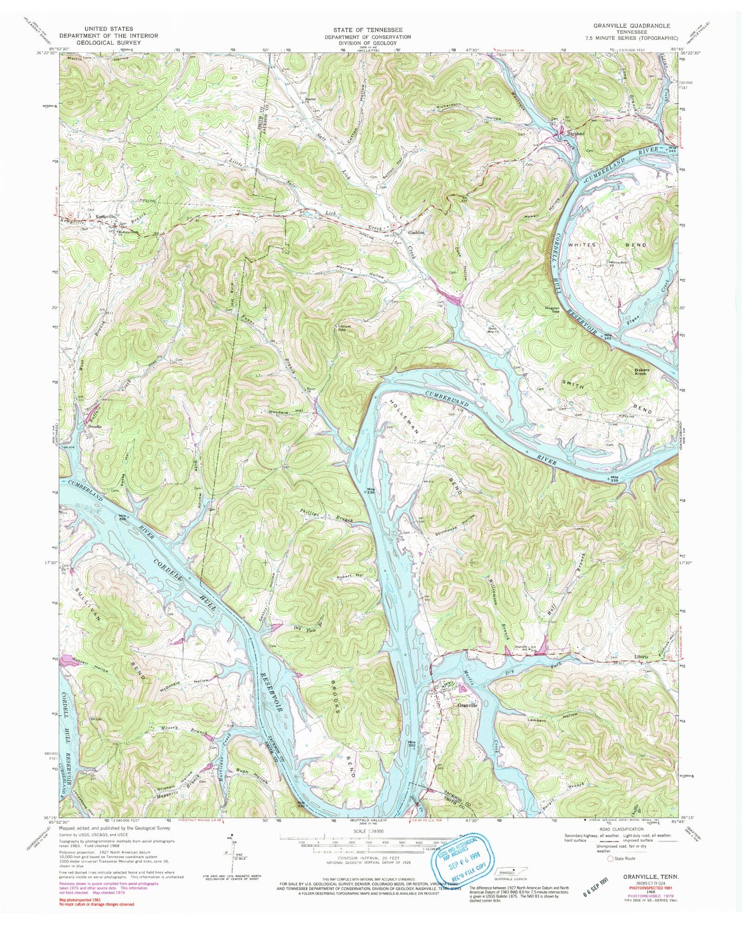
Classic USGS Granville Tennessee 7.5'x7.5' Topo Map
Couldn't load pickup availability
Historical USGS topographic quad map of Granville in the state of Tennessee. Map scale may vary for some years, but is generally around 1:24,000. Print size is approximately 24" x 27"
This quadrangle is in the following counties: Jackson, Smith.
The map contains contour lines, roads, rivers, towns, and lakes. Printed on high-quality waterproof paper with UV fade-resistant inks, and shipped rolled.
Contains the following named places: Bagdad, Bagdad Church, Bakers Knob, Beech Hill, Brooks Bend, Buffalo Creek, Buffalo Landing, Burgis Branch, Bush Hollow, Cain Hollow, Cook Hollow, Cordell Hull Reservoir, Corinth School, Cotton Hollow, Dillard Creek, Donoho, Dripping rock Hollow, Dry Fork, Dry Fork Branch, Duke Hollow, Ensor Church, Falling Water School, Flynn Creek, Franklin School, Funns Branch, Funns Branch School, Gentry Hollow, Gladdice, Gladdice School, Granville, Granville Boat Dock and Marina, Granville Ferry, Granville Landing, Granville Post Office, Granville School, Granville Volunteer Fire Department, Grisham Hollow, Grove School, Harris Hollow, Herring Hollow, Hickory Grove Church, Highland, Highland Ferry, Hogpen Gap, Holland Cemetery, Holleman Bend, Holliman Bend Church, Holliman Ferry, Hollimans Bend School, Hollimans Ferry, Howell Hollow, Huff Branch, Hurricane Creek, Indian Creek, Indian Creek Island, Jonesboro Hollow, Kempville, King Hollow, Lambert Hollow, Liberty, Liberty Church, Liberty Hill School, Little Salt Lick Creek, Locust Gap, Long Branch, Lower Holleman Island, Maggart School, Maggarte, Maggarte Branch, Martin Creek, Massey Branch, McCarvers Bar, McDonald Hollow, Niagara Island, Niagara Shoals, Oak Hill School, Phillips Branch, Pinhook Hollow, Reese Hollow, Richardson Hollow, Robert Hollow, Russell Hollow, Salt Lick Baptist Church, Salt Lick Creek, Salt Lick Creek Recreation Area, Salt Lick Island, Smith Bend, Smith Bend School, Smith Memorial Church, Stillhouse Hollow, Stone Bridge, Sullivan Bend, Sullivans Island, Sutton Hollow, Upper Holleman Island, Wartrace Creek, West Branch Buffalo Creek, West End Volunteer Fire Department, Whites Bend, Whites Bend Church, Whites Bend School, Williamson Branch, Woodard Hollow, Woodforks Landing


