MyTopo
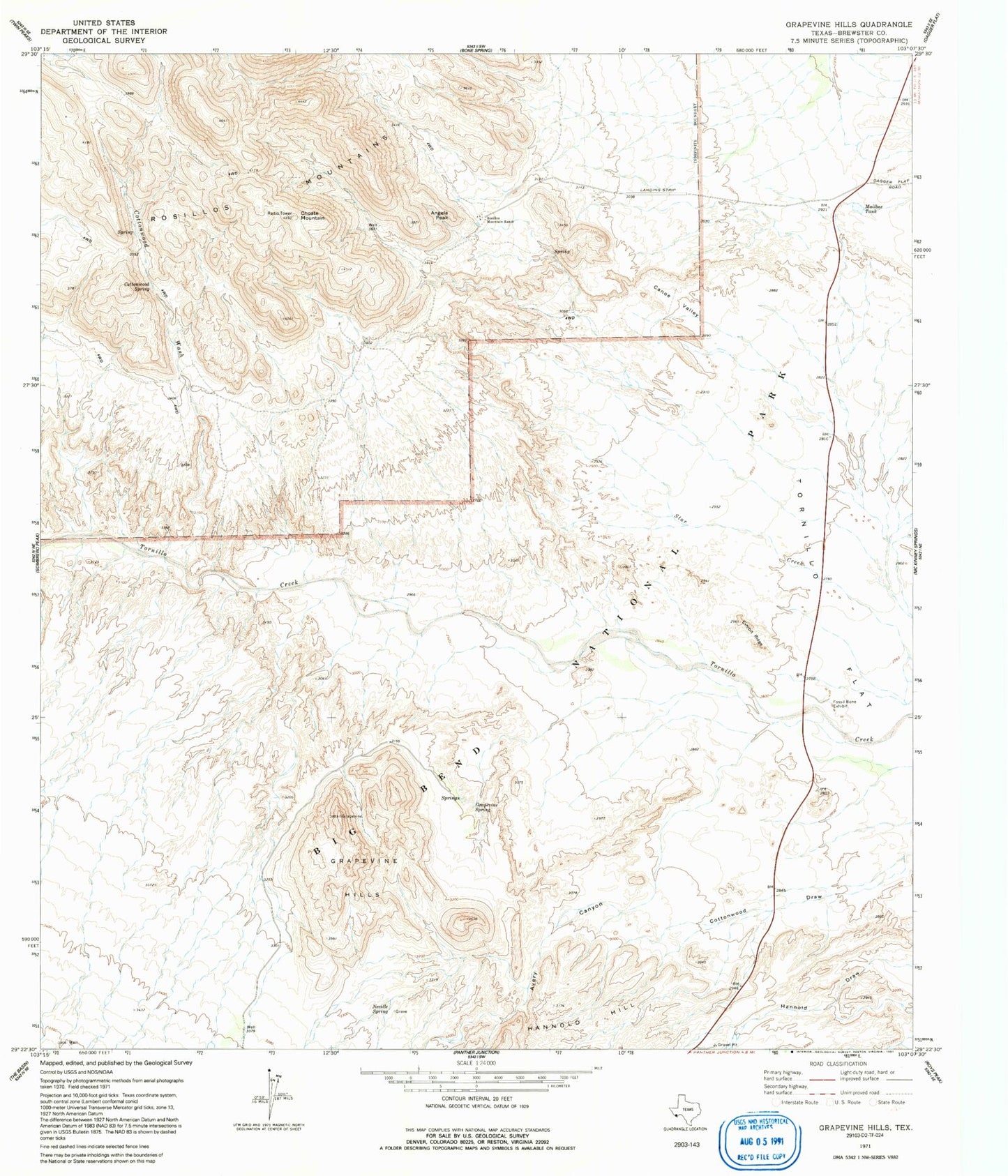
Classic USGS Grapevine Hills Texas 7.5'x7.5' Topo Map
Couldn't load pickup availability
Historical USGS topographic quad map of Grapevine Hills in the state of Texas. Typical map scale is 1:24,000, but may vary for certain years, if available. Print size: 24" x 27"
This quadrangle is in the following counties: Brewster.
The map contains contour lines, roads, rivers, towns, and lakes. Printed on high-quality waterproof paper with UV fade-resistant inks, and shipped rolled.
Contains the following named places: Angela Peak, Choate Mountain, Cottonwood Spring, Cottonwood Wash, Exhibit Ridge, Fossil Bone Exhibit, Grapevine Hills, Javalina Creek, Mailbox Tank, Rosillos Mountain Ranch, Tornillo Flat, Avery Canyon, Canoe Valley, Grapevine Spring, Hannold Hill, Neville Spring, Hulaus Ranch (historical), Pitcock Rosillos Mountain Ranch Airport, Grapevine Springs, Grapevine Hills Trail