MyTopo
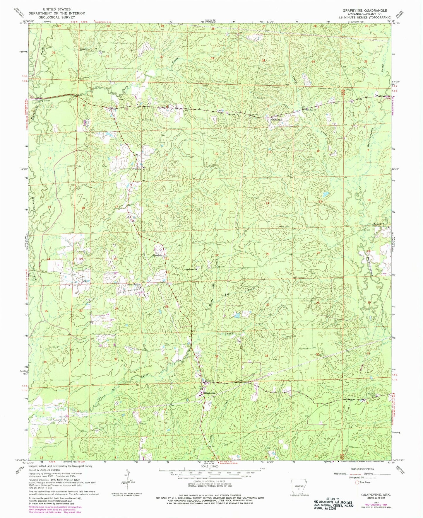
Classic USGS Grapevine Arkansas 7.5'x7.5' Topo Map
Couldn't load pickup availability
Historical USGS topographic quad map of Grapevine in the state of Arkansas. Map scale may vary for some years, but is generally around 1:24,000. Print size is approximately 24" x 27"
This quadrangle is in the following counties: Grant.
The map contains contour lines, roads, rivers, towns, and lakes. Printed on high-quality waterproof paper with UV fade-resistant inks, and shipped rolled.
Contains the following named places: Ain, Ain Church, Big Branch, Camp Creek, Caney Creek, Clegg Creek, Deer Creek, Grapevine, Grapevine Cemetery, Grapevine Church, Grapevine Elementary School, Grapevine Post Office, Grapevine Volunteer Fire Department, Heddon Chapel, Johnson Creek, Mount Zion Cemetery, Mount Zion Church, Pine Ridge Church, Pumpkinvine Creek, Raymick Cemetery, Saint John Cemetery, Saint Paul Cemetery, Saint Paul Church, Saint Paul School, Sardis Church, Studemeir, Township of Darysaw, White Cemetery, ZIP Code: 72057