MyTopo
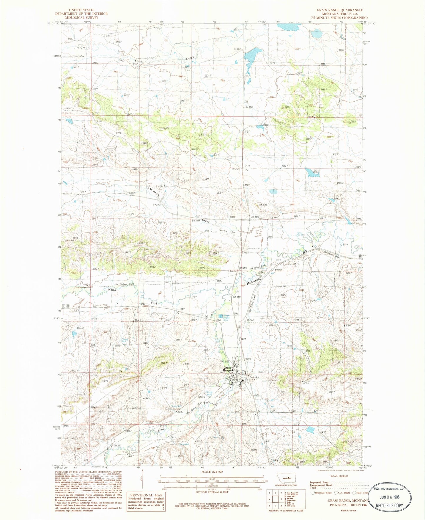
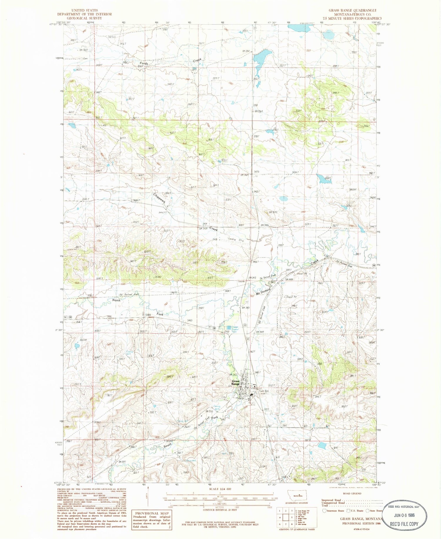
Classic USGS Grass Range Montana 7.5'x7.5' Topo Map
Couldn't load pickup availability
Historical USGS topographic quad map of Grass Range in the state of Montana. Map scale may vary for some years, but is generally around 1:24,000. Print size is approximately 24" x 27"
This quadrangle is in the following counties: Fergus.
The map contains contour lines, roads, rivers, towns, and lakes. Printed on high-quality waterproof paper with UV fade-resistant inks, and shipped rolled.
Contains the following named places: 14N23E04ADA_01 Well, 15N22E12ADD_01 Well, 15N23E14BCA_01 Well, 15N23E22CBD_01 Well, American Lutheran Church, Arther Dengel Number 1 Dam, Chamberlain, Chippewa Creek, Dengel Cemetery, Dewry Dam, Grass Range, Grass Range Cemetery, Grass Range City Park, Grass Range Post Office, Grass Range Rural Fire Department, Grass Range School, Grass Range Volunteer Fire Department, Heble Dam, Jelly Bean Dam, Little Montana Truckstop Campground, Matovich Airport, Montana and Dakota Elevator, North Fork McDonald Creek, Saint Barbaras Catholic Church, South Fork McDonald Creek, Town of Grass Range, United Methodist Church


