MyTopo
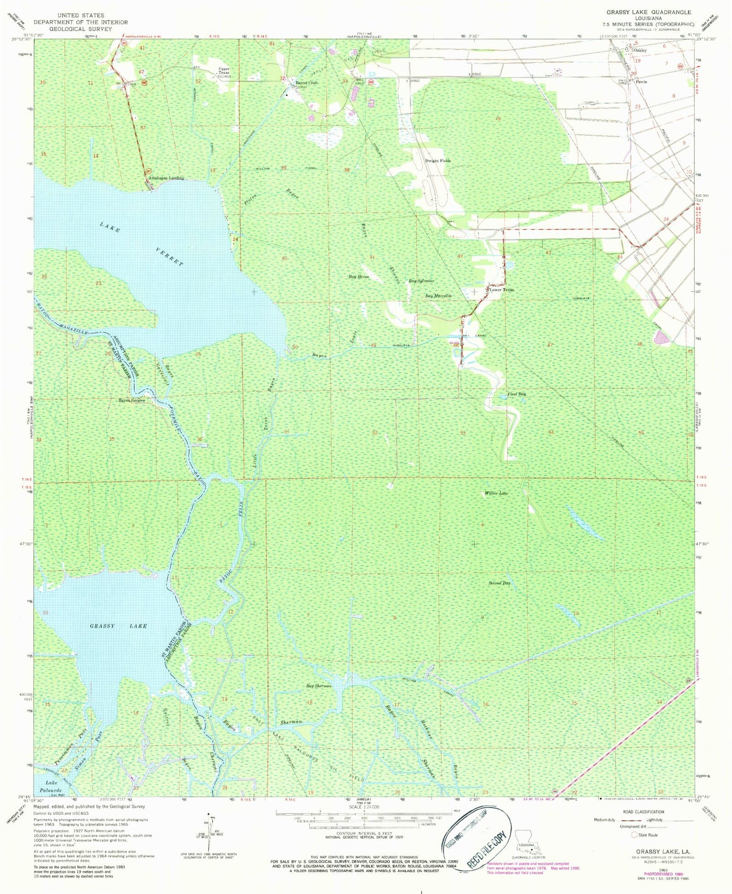
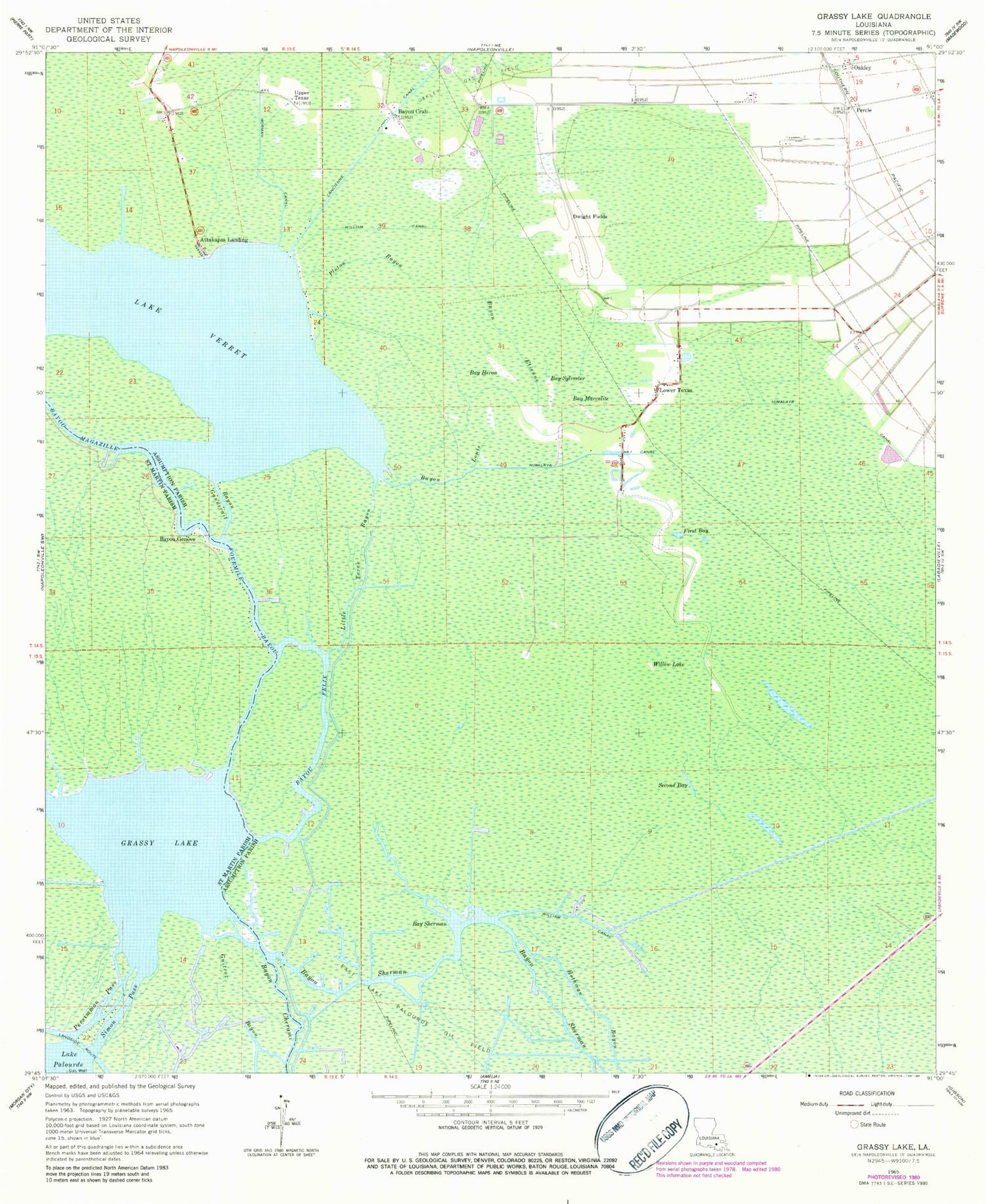
Classic USGS Grassy Lake Louisiana 7.5'x7.5' Topo Map
Couldn't load pickup availability
Historical USGS topographic quad map of Grassy Lake in the state of Louisiana. Map scale may vary for some years, but is generally around 1:24,000. Print size is approximately 24" x 27"
This quadrangle is in the following counties: Assumption, St. Martin.
The map contains contour lines, roads, rivers, towns, and lakes. Printed on high-quality waterproof paper with UV fade-resistant inks, and shipped rolled.
Contains the following named places: Attakapas Landing, Bay Heron, Bay Marcalite, Bay Sherman, Bay Sylvester, Bayou Crab, Bayou Etienne, Bayou Felix, Bayou Gannevait, Bayou Geneve, Bayou Louis, Bayou Magazille, Bayou Morgan City, Bayou Sherman, Den Bayou, Dwight Fields, First Bay, Fourmile Bayou, Grassy Lake, Himalaya Canal, Hothman Bayou, Little Texas Bayou, Lower Texas, Norman Canal, Oakley, Oakley Gas Field, Parish Governing Authority District 4, Percle, Persimmon Pass, Ploton Bayou, Second Bay, Sherman Bayou Gas Field, Simon Pass, Upper Texas, Ward Four, Ward Three, William Canal, Willow Lake


