MyTopo
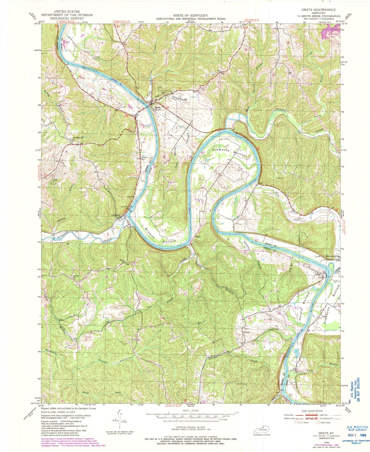
Classic USGS Gratz Kentucky 7.5'x7.5' Topo Map
Couldn't load pickup availability
Historical USGS topographic quad map of Gratz in the state of Kentucky. Typical map scale is 1:24,000, but may vary for certain years, if available. Print size: 24" x 27"
This quadrangle is in the following counties: Henry, Owen.
The map contains contour lines, roads, rivers, towns, and lakes. Printed on high-quality waterproof paper with UV fade-resistant inks, and shipped rolled.
Contains the following named places: Aaron Branch, Balls Branch, Beverly Cemetery, Browns Bottom, Brush Fork, Cave Spring Branch, Cedar Creek, Cemetery Hill Church, Clay Lick Creek, Clements Bottom, Craddock Bottom, Cubbage Cemetery, Dry Branch, Gratz, Hances Branch, Hardin Bottom, Lockport, Lowderbach Branch, Mint Spring Branch, North Severn Creek, Pond Creek, Pot Ripple Creek, Raccoon Branch, Sand Ripple Creek, Severn Creek, Sixmile Creek, Stevens Creek, Wallace Cemetery, Fallis, Gest, Orville, Lock Number 2, Lock Number 3, Mount Minish Cemetery, City of Gratz, Gibsons Landing (historical), Gratz Post Office (historical), Gratz Sulphur Well (historical), J D Burns Landing (historical), Jones Landing (historical), Elmer Davis Lake, Lead Mine Landing (historical), Mouth of Cedar Creek Post Office (historical), Pond Branch Landing (historical), Proverb Post Office (historical), Rileys Landing (historical), School Number Twenty-Three (historical), Severn Creek Post Office (historical), Shiddells Woods (historical), Ballards Landing (historical), Bibbs Creek, Bar Post Office (historical), Buffalo Crossing Landing (historical), Cemetery Hill, Clay Lick Landing (historical), Crooked Creek, Fallis Post Office (historical), Gest Post Office (historical), J D Burns Landing (historical), Kelly School (historical), Lead Mine Landing (historical), Lead Mines Post Office (historical), Lockport Post Office (historical), Mill Wheel Branch, Noe Post Office (historical), River Dale Landing (historical), School Number Eight (historical), School Number Forty-Two (historical), School Number Twenty-One (historical), Kentucky River Fire Department, Cemetery Hill Cemetery, Clements Cemetery Number 2, Coppersmith Cemetery, Elmer Davis Lake Dam, O'Nan - Hardin Cemetery


