MyTopo
Classic USGS Grave Point Idaho 7.5'x7.5' Topo Map
Couldn't load pickup availability
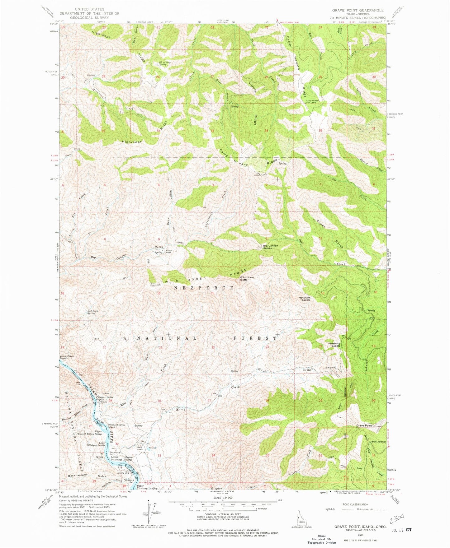
Historical USGS topographic quad map of Grave Point in the states of Idaho, Oregon. Map scale may vary for some years, but is generally around 1:24,000. Print size is approximately 24" x 27"
This quadrangle is in the following counties: Idaho, Wallowa.
The map contains contour lines, roads, rivers, towns, and lakes. Printed on high-quality waterproof paper with UV fade-resistant inks, and shipped rolled.
Contains the following named places: Bear Gulch, Big Canyon Saddle, Buckpasture Gulch, Bull Springs, Camp Howard Cow Camp, Camp Howard Ridge, Christie Creek Forest Service Station, Circle C Ranch, Cottonwood Creek, Cowen Gulch, Coyote Ridge, Deer Gulch, Fir Creek, Fourth of July Spring, Grand Canyon of the Snake River, Grave Point, Highrange Ridge, Indian Creek, Kurry Creek, Little Fir Creek, Lower Pittsburg Landing, Lower Pittsburg Rapids, Middle Pittsburg Rapids, Motthorn Saddle, North Fork Klopton Creek, Pittsburg Bar, Pittsburg Creek, Pittsburg Saddle, Pleasant Valley Creek, Pleasant Valley Island, Pleasant Valley Rapids, Red Rock Spring, Taylor, Upper Pittsburg Landing, Upper Pleasant Valley Rapids, Walters Ranch, West Creek, West Fork West Creek, Wild Horse Butte, Wild Horse Ridge