MyTopo
Classic USGS Graven Ridge California 7.5'x7.5' Topo Map
Couldn't load pickup availability
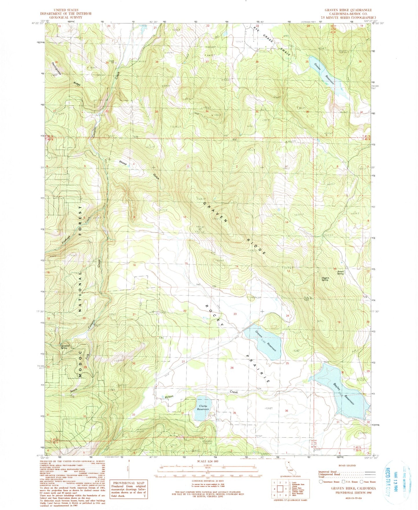
Historical USGS topographic quad map of Graven Ridge in the state of California. Map scale may vary for some years, but is generally around 1:24,000. Print size is approximately 24" x 27"
This quadrangle is in the following counties: Modoc.
The map contains contour lines, roads, rivers, towns, and lakes. Printed on high-quality waterproof paper with UV fade-resistant inks, and shipped rolled.
Contains the following named places: Arnett Spring, Bayley Reservoir, Bayley Reservoir 1118 Dam, Clarks Reservoir, Fitzhugh Creek, Graven 136-002 Dam, Graven Reservoir, Graven Ridge, Graves Reservoir, Higgins Spring, Hilton Creek, Lunsford Spring, Rocky Prairie, Rye Grass Swale 150 Dam, Sheep Gulch, South Fork Canyon Creek