MyTopo
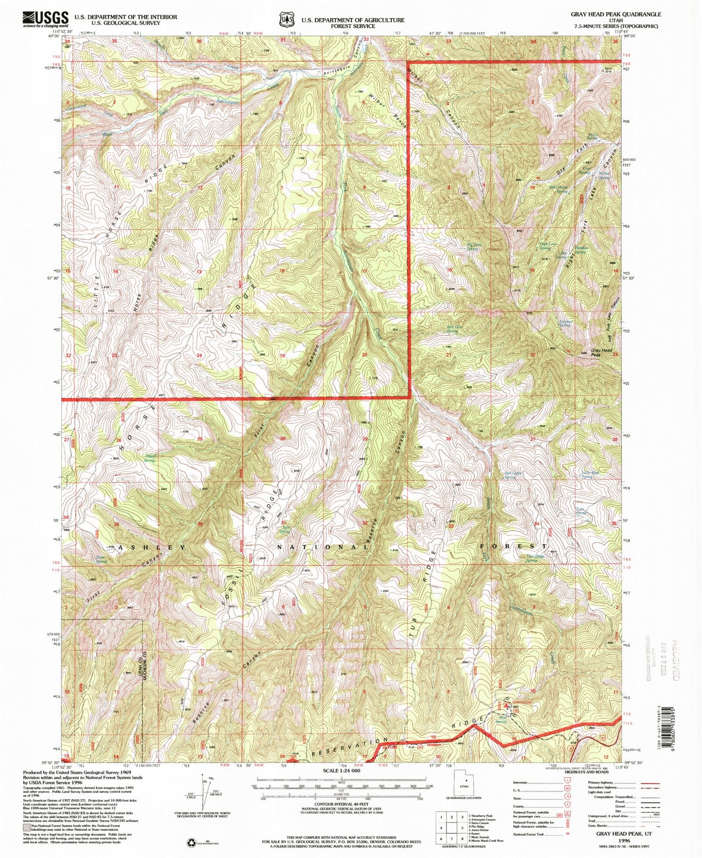
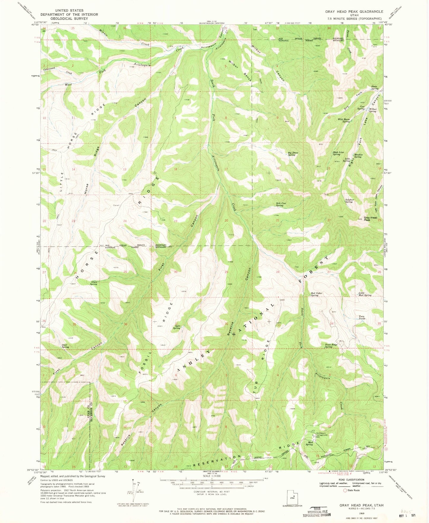
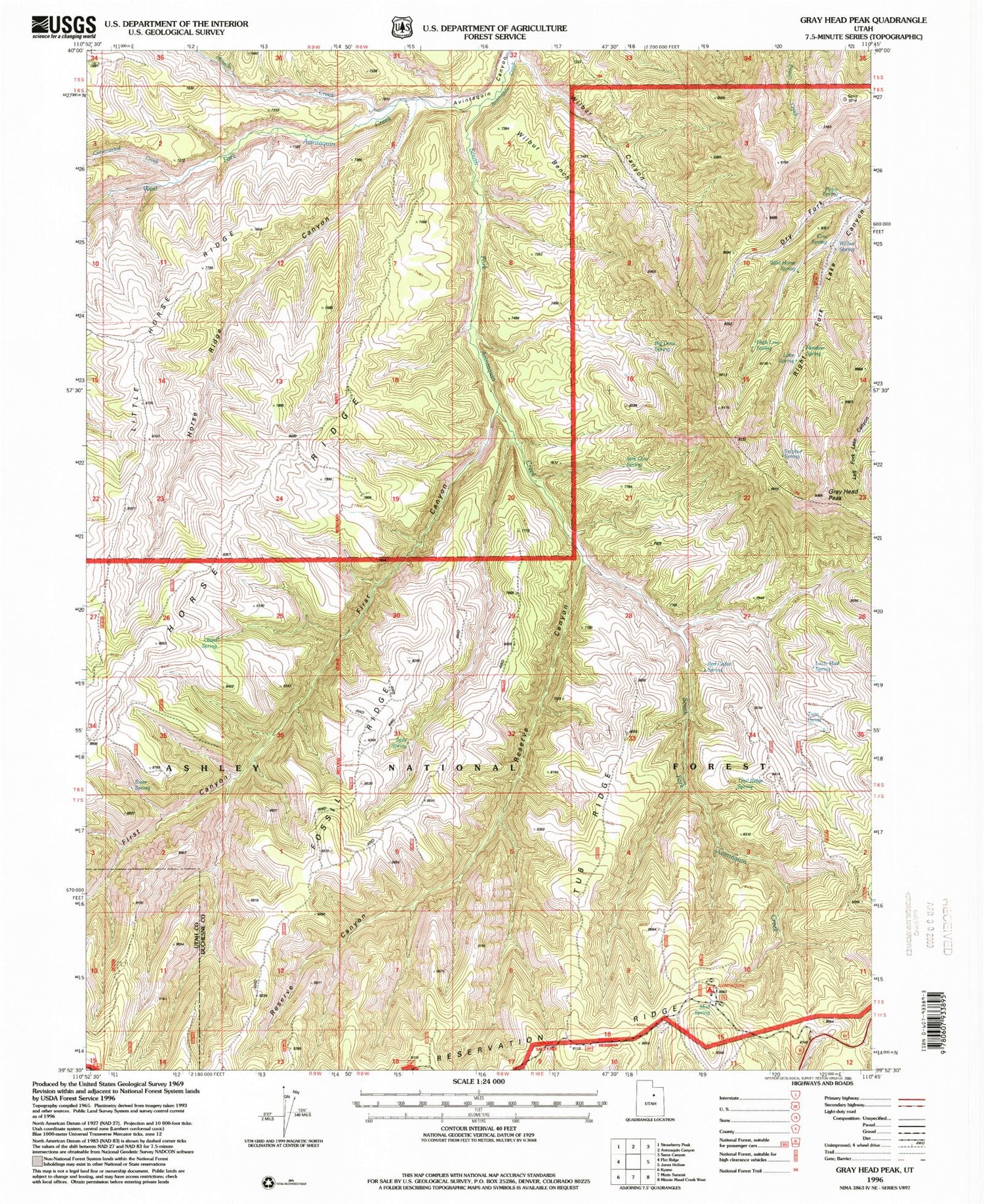
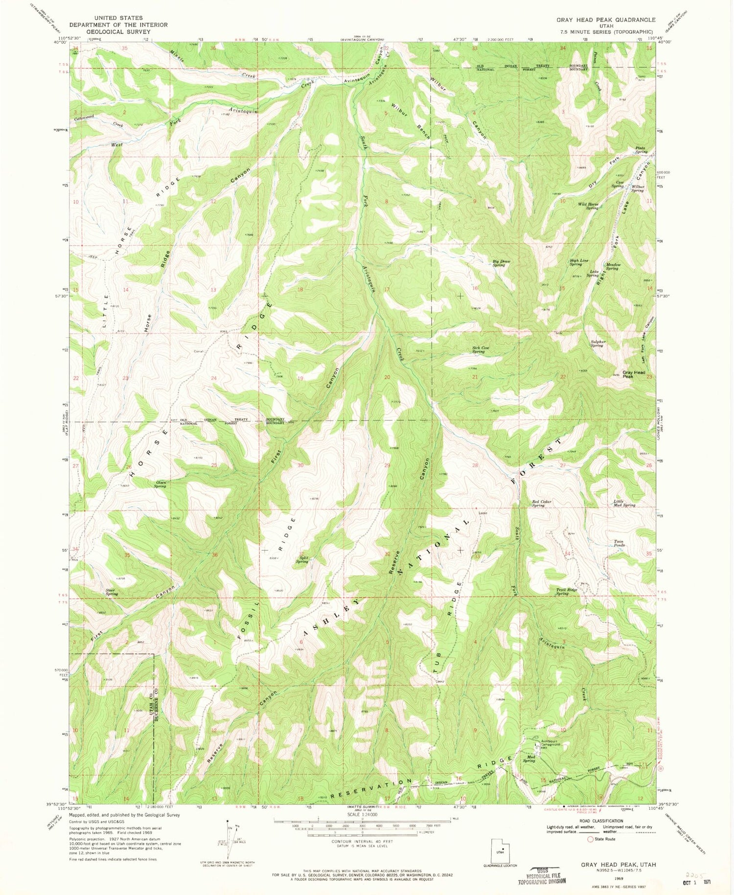
Classic USGS Gray Head Peak Utah 7.5'x7.5' Topo Map
Couldn't load pickup availability
Historical USGS topographic quad map of Gray Head Peak in the state of Utah. Map scale may vary for some years, but is generally around 1:24,000. Print size is approximately 24" x 27"
This quadrangle is in the following counties: Duchesne, Utah.
The map contains contour lines, roads, rivers, towns, and lakes. Printed on high-quality waterproof paper with UV fade-resistant inks, and shipped rolled.
Contains the following named places: Avintaquin Campground, Avintaquin Wildlife Management Area, Big Draw Spring, Cottonwood Creek, Cow Spring, Dry Fork, First Canyon, Fossil Ridge, Gray Head Peak, High Line Spring, Horse Ridge Canyon, Lake Spring, Little Horse Ridge, Little Mud Spring, Meadow Spring, Minnie Creek, Mud Spring, Olsen Spring, Pinto Spring, Red Cedar Spring, Reserve Canyon, Sick Cow Spring, South Fork Avintaquin Creek, Split Spring, Steer Spring, Sulphur Spring, Trail Ridge Spring, Tub Ridge, Twin Ponds, West Fork Avintaquin Creek, Wilbur Bench, Wilbur Canyon, Wilbur Spring, Wild Horse Spring