MyTopo
Classic USGS Gray Summit Missouri 7.5'x7.5' Topo Map
Couldn't load pickup availability
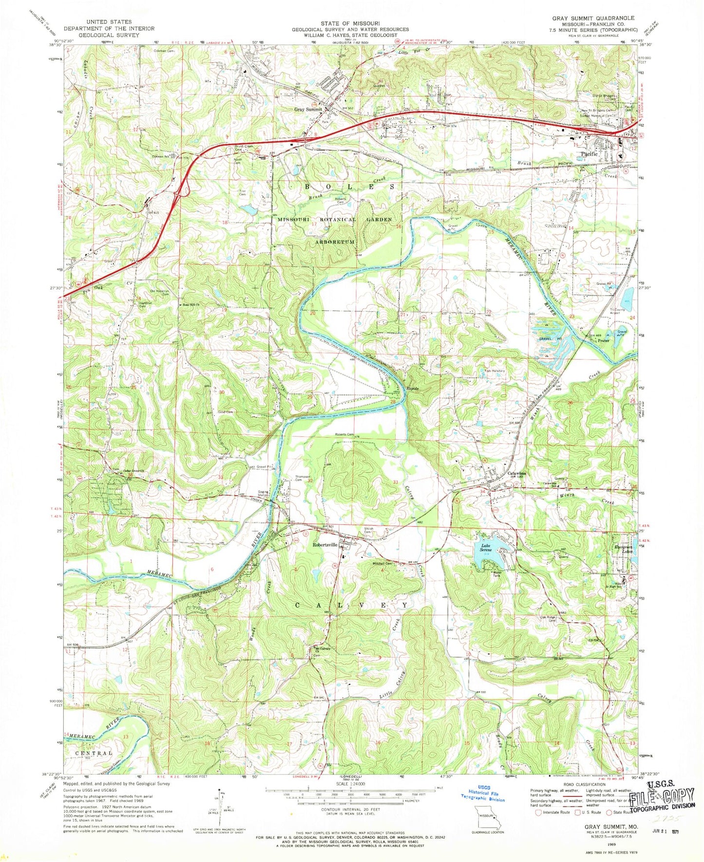
Historical USGS topographic quad map of Gray Summit in the state of Missouri. Typical map scale is 1:24,000, but may vary for certain years, if available. Print size: 24" x 27"
This quadrangle is in the following counties: Franklin.
The map contains contour lines, roads, rivers, towns, and lakes. Printed on high-quality waterproof paper with UV fade-resistant inks, and shipped rolled.
Contains the following named places: Brady Creek, Brush Creek Cemetery, Catawissa, Catawissa School, Coleman Cemetery, Coleman Elementary School, Evergreen Lakes, Good Cemetery, Hazelrun - Rose Hill Cemetery, Little Calvey Creek, Mitchell Cemetery, Mount Calvary Church, New Saint Bridgets Cemetery, Nike Junior High School, North Cemetery, Oak Ridge Cemetery, Old Hazelrun Cemetery, Old Saint Bridgets Cemetery, Pacific Cemetery, Roberts Cemetery, Roberts Cemetery, Rose Hill Church, Shiloh Cemetery, Sunset Memorial Cemetery, Thompson Cemetery, Tiler Cemetery, Winch Creek, Woods Creek, Frisco Heights School (historical), Meramec Terrace, Robertsville School, Calvey Creek, Cedar Grove Church, Gray Summit, Missouri Botanical Garden Arboretum, Robertsville, The Diamonds, Prater, Purina Farm, Cedar Grove School, Bend School, Woodland School, Pleasant Valley School (historical), Lake Serene, Missouri Botanical Gardens Lake Dam, Shaw S Garden Lake, Lake Serene Dam, G Gundaker Dam, Pacific Fishing Lake Dam, Kober Lake, High Meadow Lake Dam, Leo Politte and John Lynch Lake, Watson Lake Dam, Evergreen Lake Upper Dam, Evergreen Lakes Lower Dam, Buckner Dam, Seyer Lake, Johnson Lake Dam, Johns Lake Dam, Strothmann Lake Dam, Woodland Hills Subdivision Lake Dam, McAdams Lake Dam, Township of Calvey, Gray Summit Census Designated Place, City of Pacific, Pacific Fire Protection District Station 2, Pacific Fire Protection District Station 1, Boles Fire Protection District Station 1, Pacific Police Department, Gray Summit Post Office, Robertsville Post Office, Catawissa Post Office


