MyTopo
Classic USGS Grayback Arizona 7.5'x7.5' Topo Map
Regular price
$16.95
Regular price
Sale price
$16.95
Unit price
per
Couldn't load pickup availability
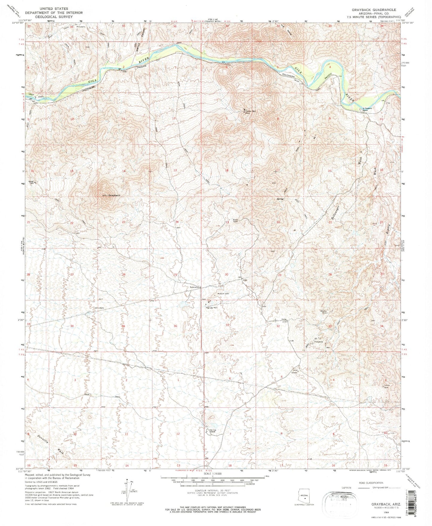
Historical USGS topographic quad map of Grayback in the state of Arizona. Map scale may vary for some years, but is generally around 1:24,000. Print size is approximately 24" x 27"
This quadrangle is in the following counties: Pinal.
The map contains contour lines, roads, rivers, towns, and lakes. Printed on high-quality waterproof paper with UV fade-resistant inks, and shipped rolled.
Contains the following named places: A-Diamond Ranch, Golden Bell Mine, Grayback, KGUS-AM (Florence), Peg Leg Well, Ripsey Wash, Tea Cup Ranch, Walnut Canyon, Wooley Mine, Wooley Railroad Station, Zelleweger Wash