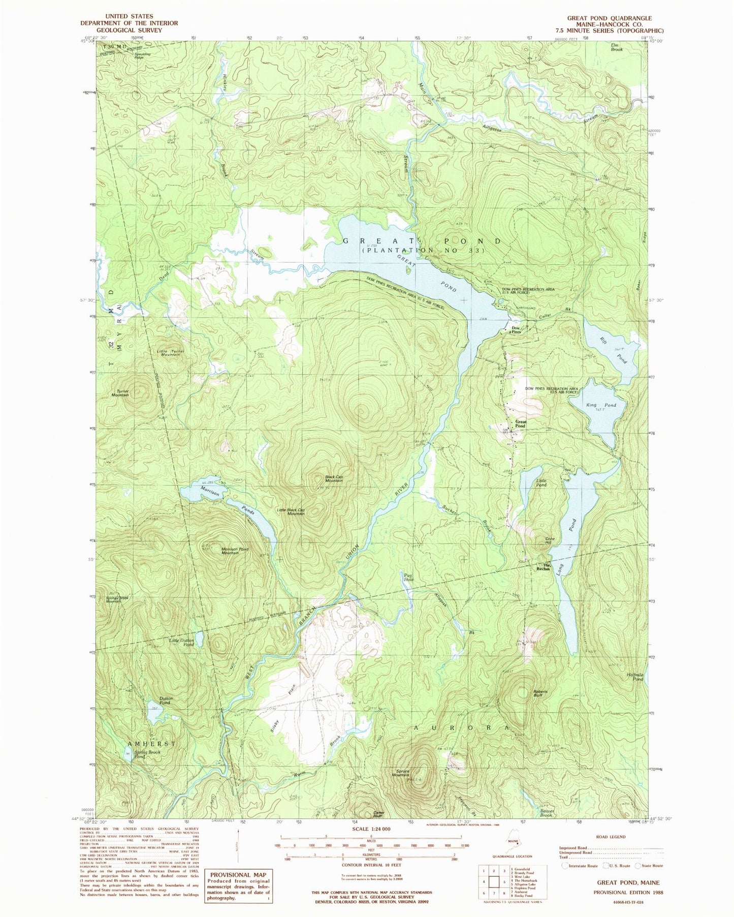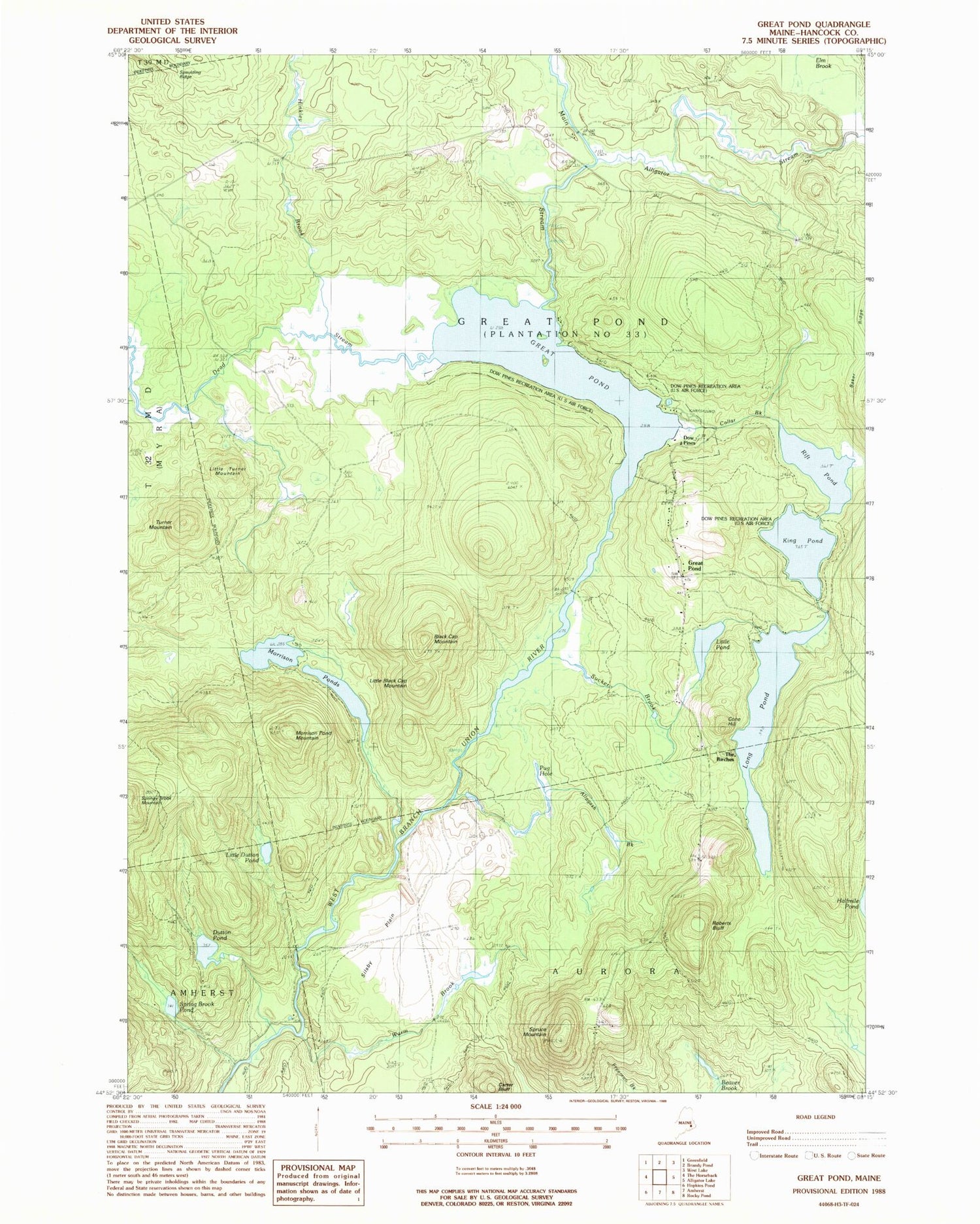
MyTopo
Classic USGS Great Pond Maine 7.5'x7.5' Topo Map
Couldn't load pickup availability
Historical USGS topographic quad map of Great Pond in the state of Maine. Typical map scale is 1:24,000, but may vary for certain years, if available. Print size: 24" x 27"
This quadrangle is in the following counties: Hancock, Penobscot.
The map contains contour lines, roads, rivers, towns, and lakes. Printed on high-quality waterproof paper with UV fade-resistant inks, and shipped rolled.
Contains the following named places: Allagash Brook, Alligator Stream, Black Cap Mountain, Carter Bluff, Collar Brook, Cone Hill, Dead Stream, Dutton Pond, Great Pond, Great Pond, Great Pond Cemetery, Hinkley Brook, King Pond, Little Black Cap Mountain, Little Dutton Pond, Little Pond, Little Turner Mountain, Long Pond, Main Stream, Morrison Pond Mountain, Morrison Ponds, Pug Hole, Rift Pond, Roberts Bluff, Silsby Plain, Spring Brook Pond, Springy Brook Mountain, Spruce Mountain, Sucker Brook, The Birches, Turner Mountain, Warm Brook, Washington School, Dow Pines, Town of Great Pond, Dow Pines Recreation Area