MyTopo
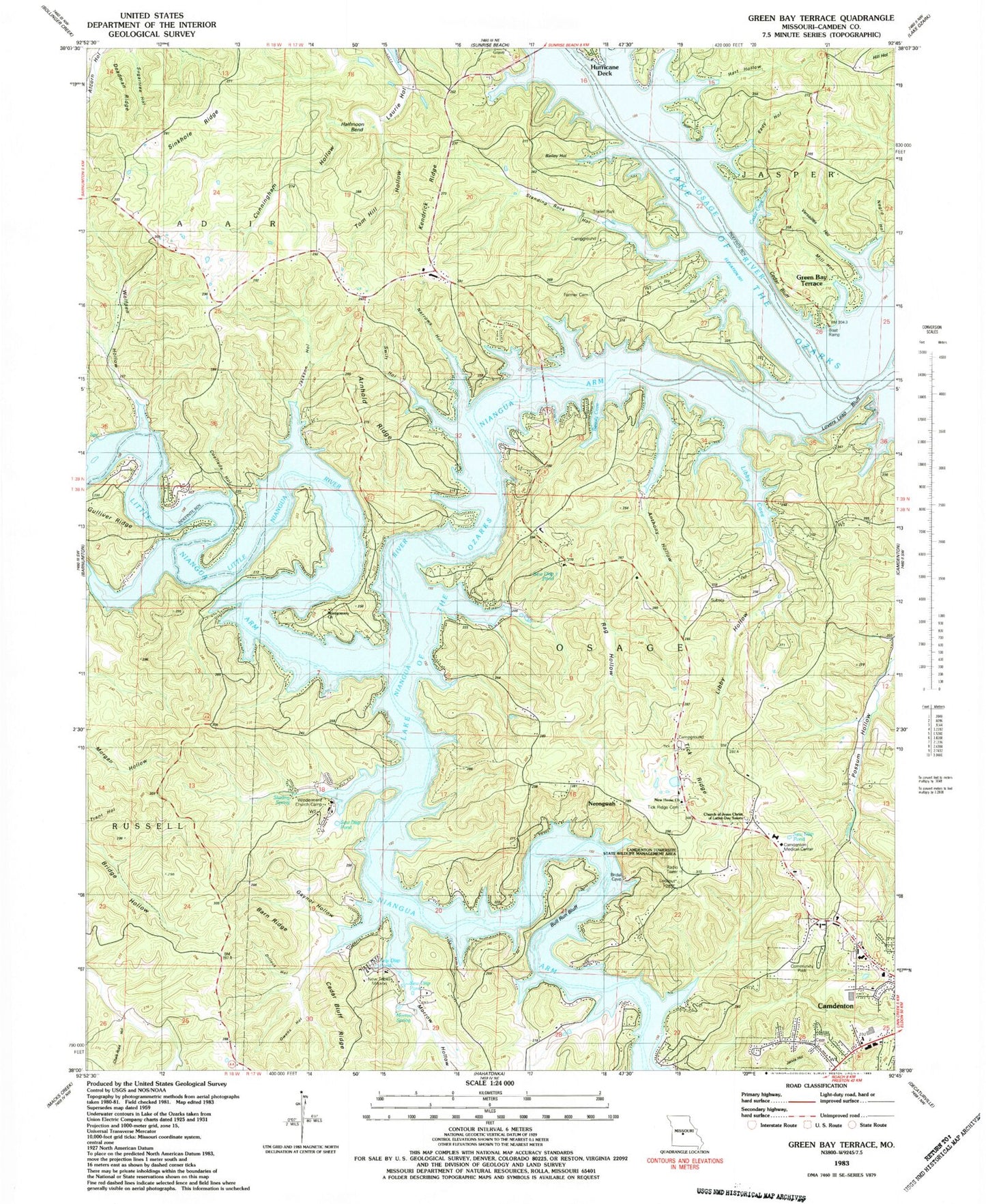
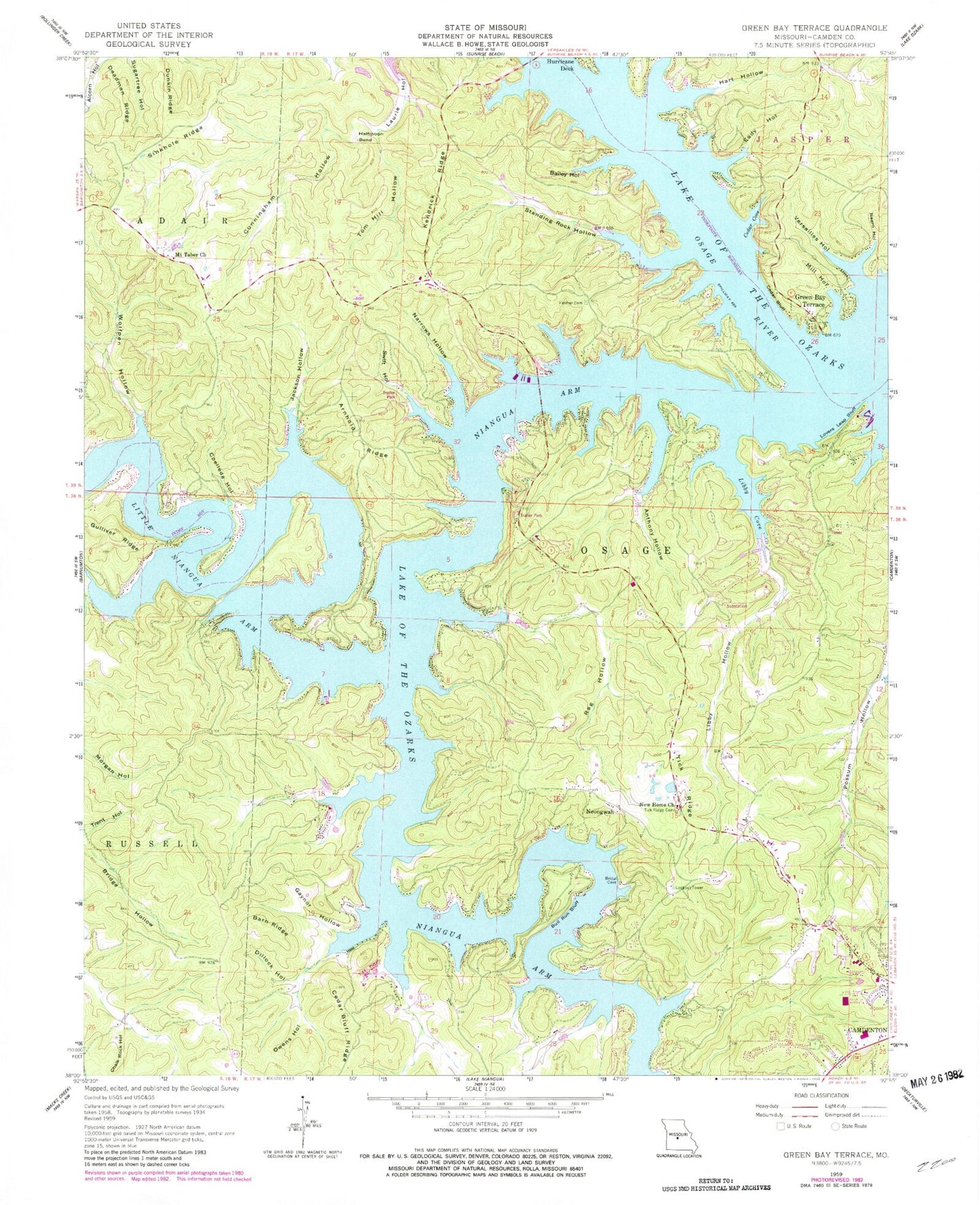
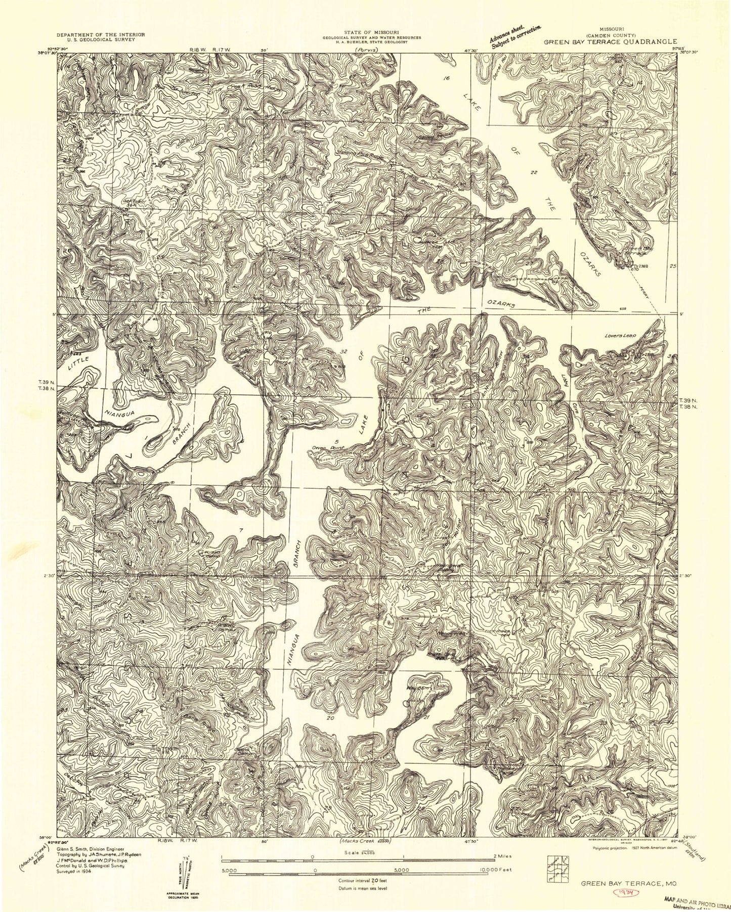
Classic USGS Green Bay Terrace Missouri 7.5'x7.5' Topo Map
Couldn't load pickup availability
Historical USGS topographic quad map of Green Bay Terrace in the state of Missouri. Map scale may vary for some years, but is generally around 1:24,000. Print size is approximately 24" x 27"
This quadrangle is in the following counties: Camden.
The map contains contour lines, roads, rivers, towns, and lakes. Printed on high-quality waterproof paper with UV fade-resistant inks, and shipped rolled.
Contains the following named places: Anthony Hollow, Arnhold Ridge, Bailey Hollow, Barn Ridge, Beauty Cove, Bull Run Bluff, Camden County, Camdenton Medical Center, Camdenton Police Department, Camdenton Post Office, Camdenton Towersite State Wildlife Management Area, Cedar Bluff, Cedar Bluff Ridge, Cedar Cove, Chalk Rock Hollow, Coelleda Hollow, Cunningham Hollow, Dale Blair Memorial Cemetery, Deadman Ridge, Department of Conservation Central Field Fire Office Camdenton, Dillock Hollow, Dunkin Ridge, Eady Hollow, Farmer Cemetery, Francis Hollow, Friedenswald, Gaynor Hollow, Green Bay Terrace, Gulliver Ridge, Halfmoon Bend, Hart Hollow, Jackson Hollow, KCVO-FM (Camdenton), Kendrick Ridge, Laurie Hollow, Libby Cove, Libby Hollow, Lovers Leap Bluff, Mid - County Fire Protection District Station 2, Mid - County Fire Protection District Station 3, Mill Hollow, Montgomery Church, Morrow Hollow, Morrow Spring, Mount Taber Church, Narrows Hollow, Negro Hollow, Neongwah, New Home Church, New Tribes Mission, Niangua Arm, Owens Hollow, Rag Hollow, Sinkhole Ridge, Standing Rock Hollow, Starling Spring, Sunrise Beach Fire Department Station 4, Sunrise Beach Fire Department Station 5, Swift Hollow, The Church of Jesus Christ of Latter Day Saints, Tick Ridge, Tick Ridge Cemetery, Tom Hill Hollow, Township of Niangua, Township of Osceola, Trent Hollow, Versailles Hollow, Village of Friedenswald, Windermere Church Camp, Wolfpen Hollow, ZIP Code: 65020


