MyTopo
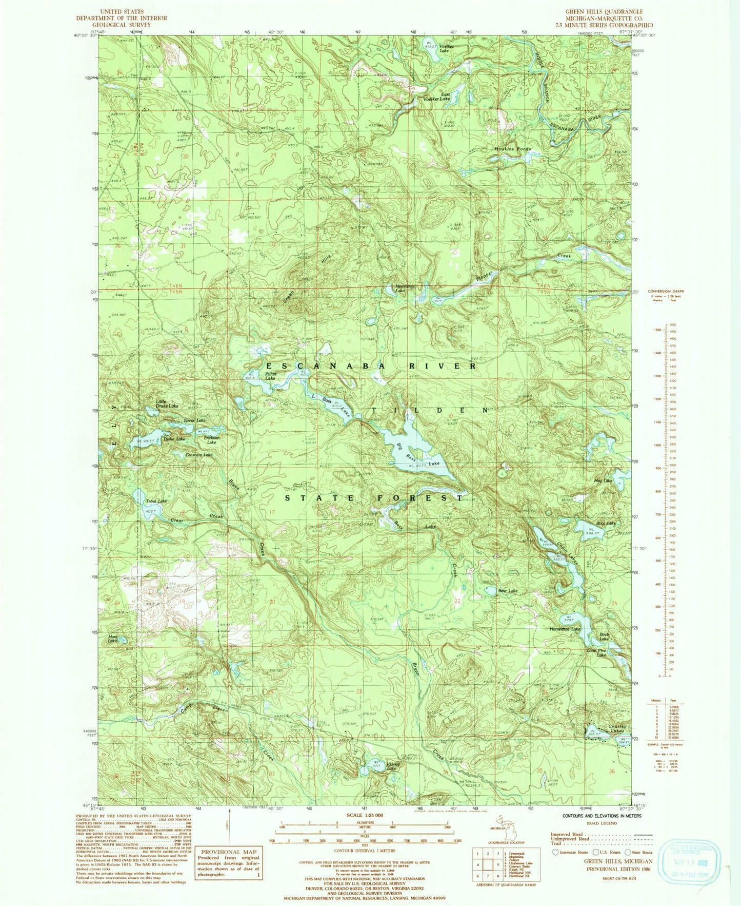
Classic USGS Green Hills Michigan 7.5'x7.5' Topo Map
Couldn't load pickup availability
Historical USGS topographic quad map of Green Hills in the state of Michigan. Map scale may vary for some years, but is generally around 1:24,000. Print size is approximately 24" x 27"
This quadrangle is in the following counties: Marquette.
The map contains contour lines, roads, rivers, towns, and lakes. Printed on high-quality waterproof paper with UV fade-resistant inks, and shipped rolled.
Contains the following named places: Bass Creek, Bear Lake, Big Bass Lake, Birch Lake, Boot Lake, Camp Eleven Creek, Chain Lakes, Charley Lakes, Clear Creek, Crescent Lake, Drake Lake, East Voelker Lake, Erickson Lake, Green Hills, Hawkins Ponds, Hay Lake, Hemmings Lake, Horseshoe Lake, Hurt Lake, Kidney Lake, Little Bass Lake, Little Drake Lake, Lone Pine Lake, Pilliot Lake, Spear Lake, Township of Tilden, Trout Lake, Voelker Lake